Wetlands Knowledge Search Results
Resource
Authors
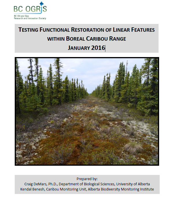
Craig DeMars
Kendal Benesh
The boreal ecotype of woodland caribou ( Rangifer tarandus caribou) is provincially Red-listed in British Columbia and federally listed as Threatened. Population declines of boreal caribou have been...
Resource
UAV-based remote sensing as a method for monitoring well pad recovery is determined to be feasible from a technical and field perspective.
Resource
Protocols for sampling biotic and abiotic parameters in large lakes, large rivers, wetlands, and streams in Alberta is provided. Estimates of time costs are given.
Resource
Authors
Stan Aronoff
G.A. Ross
W.A. Ross
Figures and Tables associated with Volume 1
Resource
Northern peatlands are significant contributors to global biogeochemical cycles. In Canada alone, peatlands cover over a tenth of the land surface and store over half of the country’s terrestrial...
Resource
Authors
B.L. Barge
R.G. Humphries
S.L. Olson
The feasibility of a weather radar to map precipitation in the Alberta Oil Sands Environmental Research Program (AOSERP) study area near Fort McMurray, Alberta was investigated
Resource
Authors
Alberta Biodiversity Monitoring Institute
As of 2010, human footprint in the Active In-situ Region was 7.7%, whereas it was 20.8% in the Mineable Region. Total human footprint in all Woodland Caribou ranges increased between 2007 and 2010
Resource
Authors
Alberta Biodiversity Monitoring Institute
As of 2012, the total human footprint across the OSR was 13.8%. Energy footprint covered 2.2% of the OSR. The total human footprint in the OSR increased from 11.3% to 13.8% between 1999 and 2012.
Resource
Authors
Alberta Biodiversity Monitoring Institute
This report presents data on several indicators of environmental health for the Kakwa River Project area where ARC Resources operates in northwestern Alberta. The Kakwa River Project area covers...
Resource
Oil and gas activities in Alberta require disturbing forested lands, among other ecosystems, in order to extract resources. Due to the number of oil and gas sites requiring reclamation, monitoring can...
Resource
Recent decline of trembling aspen ( Populus tremuloides Michx.) near St. Walburg, Saskatchewan, prompted a study to document the onset and progress of aspen decline and to examine how past climate...
Resource
Authors
Amy Nixon
Christopher Shank
Dan Farr
The Biodiversity Management and Climate Change Adaptation project has produced a comprehensive, evidence-based, and original examination of the effects of climate change on Alberta’s biodiversity
Resource
Understanding how populations are structured and how they use natural and anthropogenic spaces is essential for effective wildlife management. A total of 510 barren-ground ( Rangifer tarandus...
Resource
Mountain valley bottom peatlands are poorly studied systems, particularly in Alberta, Canada, where the provincial inventory has neither mapped nor characterized them. Nonetheless, these ecosystems...
Resource
There is uncertainty related to the long-term consequences of reconstructing landscapes on Alberta’s specified lands. Alberta has over 100,000 wellsites that have been certified under evolving...
Resource
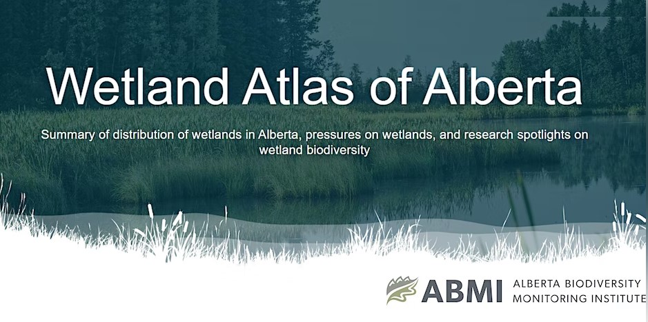
Authors
Alberta Biodiversity Monitoring Institute
The Wetland Atlas describes the distribution of wetlands in Alberta and summarizes human footprint around open water wetlands. Also included are research spotlights on wetland biodiversity including...
Resource
Authors
Christopher Evans
Vincent Gauci
To reduce global greenhouse gas emissions, conservation and restoration of wetlands play a key role. This report outlines the contribution of wetlands to global methane output; differences between...
Resource
Authors
Alberta Biodiversity Monitoring Institute
This document was created by the Alberta Remote Camera Steering Committee (RCSC). The Alberta RCSC is chaired by Alberta Environment and Parks and comprises a group of wildlife camera experts from...