Wetlands Knowledge Search Results
Resource
This Fact Sheet gives guidance regarding the use of native plant materials for revegetation of industrial developments in Alberta. A native plant is defined as a species occurring within its historic...
Resource
Summary of a survey to determine the reclamation research needs of organizations/industries in Alberta that are involved with industrial disturbances and to prioritize research needs.
Resource
Authors
Bérenger Bourgeois
Marc-André Lemay
Tommy Landry
Line Rochefort
Monique Poulin
Resource Date:
January
2019
This resource is available on an external database and may require a paid subscription to access it. It is included on the CCLM to support our goal of capturing and sharing the breadth of all...
Resource
Authors
Chris Powter
John Hogenbirk
If you are planning or undertaking revegetation using long-lived species such as trees then you should be giving some consideration to the environment they may experience in the future
Resource
Authors
InnoTech Alberta
University of Alberta
The InnoTech/UofA above ground mesocosm facility enables configurable, innovative approaches for assessing potential environmental and ecological impacts of industrial activities
Resource
Protocols for sampling biotic and abiotic parameters in large lakes, large rivers, wetlands, and streams in Alberta is provided. Estimates of time costs are given.
Resource
Authors
Guillermo Castilla
Ronald Hall
Rob Skakun
Michelle Filiatrault
André Beaudoin
Michael Gartrell
Lisa Smith
Kathleen Groenewegen
Chris Hopkinson
Jurjen van der Sluijs
Resource Date:
February
2022
Wall-to-wall 30 m raster maps of broad forest type, stand height, crown closure, stand volume, total volume, aboveground biomass, and stand age were created for a ~400,000 km2 area, validated with independent data, and generalized into a polygon GIS layer resembling a traditional FI map. The MVI project showed that a reasonably accurate FI map for large, remote, predominantly non-inventoried boreal regions can be obtained at a low cost by combining limited field data with remote sensing data from multiple sources.
Resource
Authors
Majid Iravani
Monica Kohler
Shannon White
The results showed a pronounced variation in the historic supply of soil organic carbon and aboveground biomass in the watershed. Land management resulted in a diverse range of gains or losses.
Resource
Reclamation of the land surface is what makes non-renewable resource developments sustainable. We must continue to strive to improve our science so that we can prove to regulators and the public that
Resource
Authors
Kristine Haynes
Jessica Smart
Brenden Disher
Olivia Carpino
William Quinton
Resource Date:
December
2020
This resource is available on an external database and may require a paid subscription to access it. It is included on the CCLM to support our goal of capturing and sharing the breadth of all...
Resource
Authors
Alberta Biodiversity Monitoring Institute
As of 2010, human footprint in the Active In-situ Region was 7.7%, whereas it was 20.8% in the Mineable Region. Total human footprint in all Woodland Caribou ranges increased between 2007 and 2010
Resource
Authors
Alberta Biodiversity Monitoring Institute
As of 2012, the total human footprint across the OSR was 13.8%. Energy footprint covered 2.2% of the OSR. The total human footprint in the OSR increased from 11.3% to 13.8% between 1999 and 2012.
Resource
The goal of the program is to develop a set of spatially explicit models that can be used to map the supply and economic value ecosystems goods and services
Resource
Ernie Hui gave a keynote address at the CWRA-WPAC joint conference on March 13, 2013. Ernie Hui is the CEO, Environmental Monitoring, for Alberta Environment and Sustainable Resource Development. The...
Resource
An online seminar developed by InnoTech Alberta and Acden Vertex for Indigenous opportunity seekers, the energy industry and service providers.
Resource
There is uncertainty related to the long-term consequences of reconstructing landscapes on Alberta’s specified lands. Alberta has over 100,000 wellsites that have been certified under evolving...
Resource
Resource Date:
October
2017
This webinar explores the effects of roads built through peatlands with horizontal water flow, including ability to affect local hydrology and thus vegetation composition and structure.
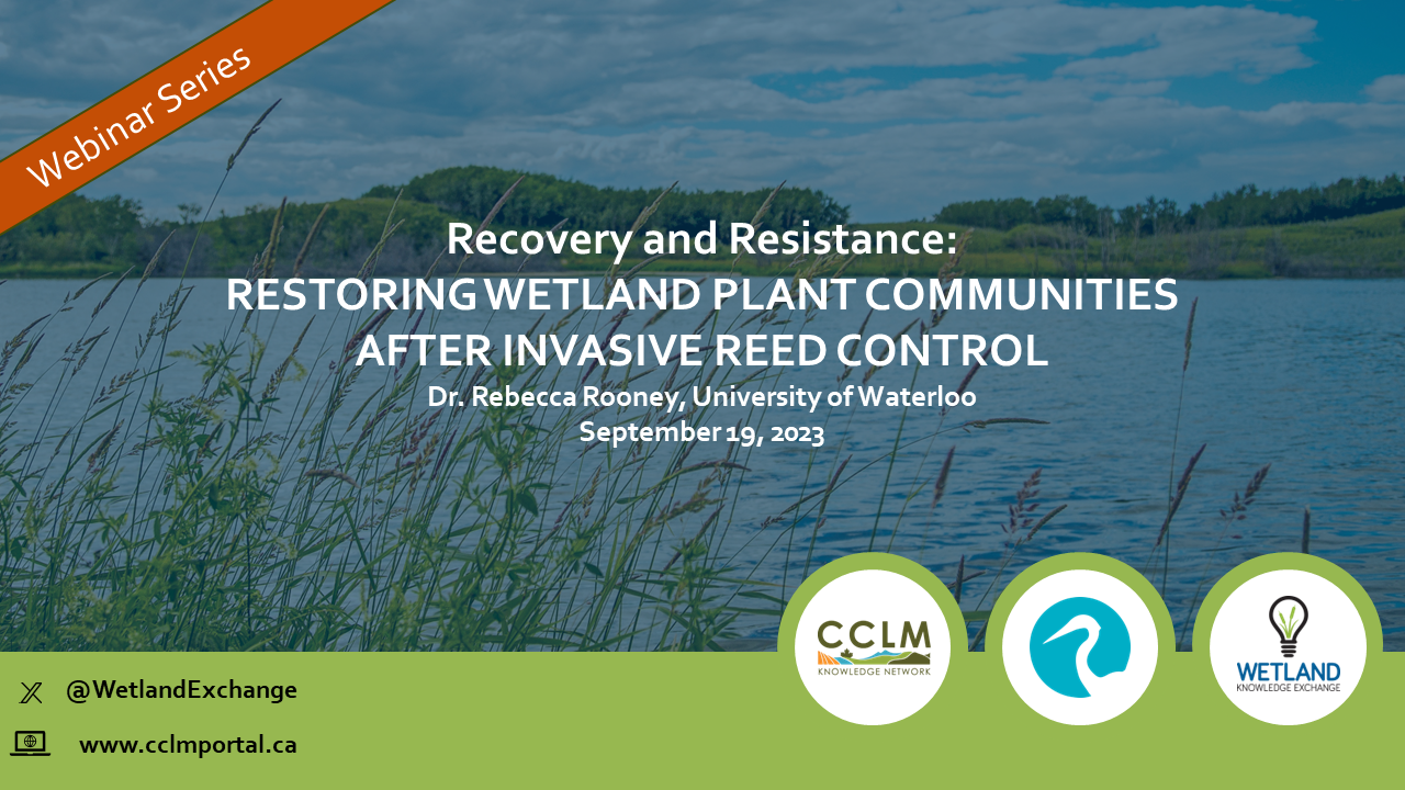
Resource
Resource Date:
September
2023
Recovery and Resistance: Restoring the wetland plant community after invasive reed control Presenter: Dr. Rebecca Rooney, University of Waterloo For established invasions, like European common reed...
Resource
Ground-truthing of remote-sensing of surface chlorophyll concentrations in Pigeon Lake was performed to calibrate a chlorophyll retrieval algorithm. High performance liquid chromatography and advanced...
Resource
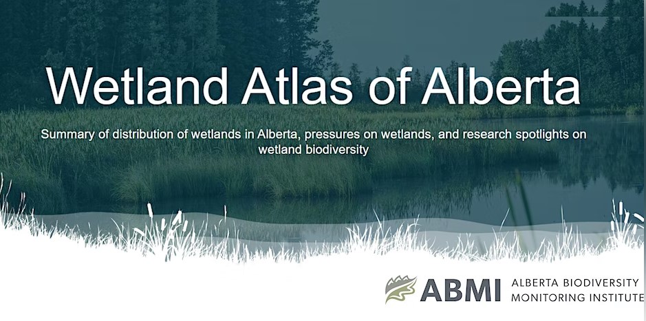
Authors
Alberta Biodiversity Monitoring Institute
The Wetland Atlas describes the distribution of wetlands in Alberta and summarizes human footprint around open water wetlands. Also included are research spotlights on wetland biodiversity including...