Wetlands Knowledge Search Results
Resource
Authors
Whaèhdôö Nàowoò Kö Dogrib Treaty 11 Council
A long 2002 paper on Dogrib (Tlicho) place names. It discusses how caribou are embedded in many place names. This resource and others can be found on the Northern Caribou Canada website. To find more...
Resource
Resource Date:
January
2016
This presentation provides an overview of the Ducks Unlimited Canada Enhanced Wetland Classification System, including current and potential uses for wetland conservation and management.
Resource
Authors
Roger DeAbreu
Shane Patterson
Todd Shipman
Chris Powter
NRCan pilot science projects have proven that Earth Observation can provide relevant and valuable information to inform and enhance monitoring and support regulatory frameworks
Resource
Authors
M.D. Thompson
M.C. Wride
M.E. Kirby
Classification system devised for mapping vegetation and surficial geology from 1:60,000 scale false colour infrared photographs; 1:50 000 base maps plus a vegetation and a surficial geology overlay
Resource
Ground surveys of vegetation and surficial geology generally confirmed that the classification systems used in the mapping accurately described and defined the ecological habitat features
Resource
Authors
Jackie Weir
Shane Mahoney
Brian McLaren
Steven Ferguson
Resource Date:
March
2007
Knowledge of the effect of mining developments on caribou Rangifer tarandus is fragmentary. We examined the impact of the Hope Brook gold mine, southwestern Newfoundland, on the La Poile woodland...
Resource
Authors
James Schaefer
Shane Mahoney
Resource Date:
August
2007
This resource is available on an external database and may require a paid subscription to access it. It is included on the CCLM to support our goal of capturing and sharing the breadth of all...
Resource
Authors
Humaira Enayetullah
Laura Chasmer
Chris Hopkinson
Daniel Thompson
Danielle Cobbaert
Seismic lines are the dominant anthropogenic disturbance in the boreal forest of the Canadian province of Alberta, fragmenting over 1900 km 2 of peatland areas and accounting for more than 80% of all...
Resource
Authors
Ian Thompson
Philip Wiebe
Erin Mallon
Arthur Rodgers
John Fryxell
James Baker
Douglas Reid
Resource Date:
November
2014
This resource is available on an external database and may require a paid subscription to access it. It is included on the CCLM to support our goal of capturing and sharing the breadth of all...
Resource
Authors
Kathy Lewis
Chris Johnson
M.D. Nayeem Karim
Resource Date:
February
2019
This resource is available on an external database and may require a paid subscription to access it. It is included on the CCLM to support our goal of capturing and sharing the breadth of all...
Resource
Authors
S. Couturier
Aaron Dale
Jennifer Mitchell Foley
J. Snook
B. Wood
Formal report of the results of the 2014 aerial survey of the Torngat Mountains caribou herd.
Resource
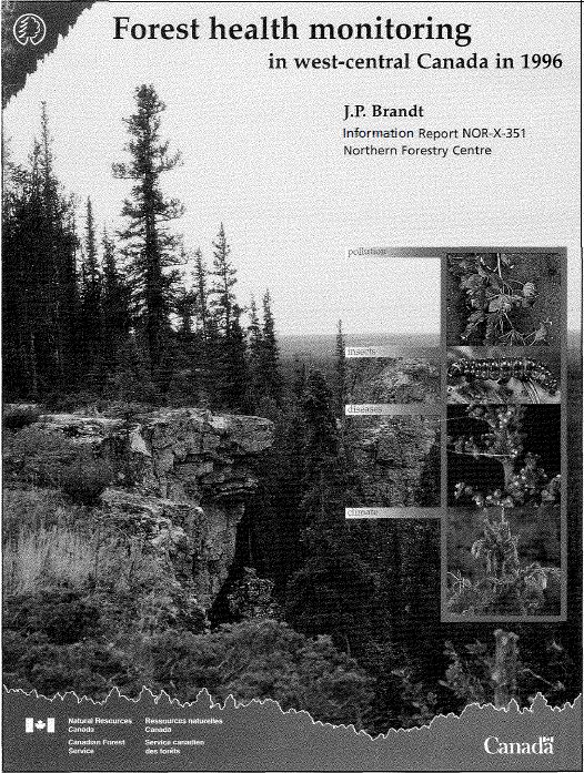
Results of forest health monitoring activities in Alberta, Saskatchewan, Manitoba, and the Northwest Territories are summarized for 1996. These results are based on assessments made on 17 permanent...
Resource
Authors
Sylvain Ménard
Marcel Darveau
Louis Imbeau
Forest inventory maps can be used to quantify the area of wetland habitats and to define homogeneous regions in this regard, and therefore provide a functional tool for coarse-scale wetland management
Resource
Authors
Terrance Power
Robert Cameron
Thomas Neily
Brad Toms
Resource Date:
April
2018
This resource is available on an external database and may require a paid subscription to access it. It is included on the CCLM to support our goal of capturing and sharing the breadth of all...
Resource
The Galena Hill Ecosystem Map (GHEM) was initially developed to provide information about existing plant communities and their growth conditions to guide upcoming reclamation efforts at the historical...
Resource
Authors
United Nations Environment Programme
Resource Date:
November
2022
Peatlands are unique and rare ecosystems that, despite only covering around 3-4% of the planet’s land surface, they contain up to one-third of the world’s soil carbon, which is twice the amount of...
Resource
Authors
Michael Willoughby
Dave Downing
Margaret Meijer
The Upper Boreal Highlands subregion is found elevationally above the Lower Boreal Highlands subregion in the Birch Mountain, Buffalo Head Hills and Cameron Hills of Northcentral and Northwestern...
Resource
A 72-pge 2015 report by the Gwich'in Social and Cultural Institute on Gwich’in Traditional Knowledge of the Bluenose-West Caribou herd. This resource and others can be found on the Northern Caribou...
Resource
Resource Date:
March
2011
... conducted 20 interviews with holders of Gwich’in traditional knowledge and searched the digital archives of GSCI for relevant primary and secondary data to obtain TK about [woodland caribou].
Resource
Breeding bird studies using the mapping method were combined with intensive habitat quantification to determine the relative values to breeding avifauna of 21 habitat types