Wetlands Knowledge Search Results
Resource
Authors
Oumer Ahmed
Adam Shemrock
Dominique Chabot
Chris Dillon
Griffin Williams
Rachel Wasson
Steven Franklin
Resource Date:
February
2017
This resource is available on an external database and may require a paid subscription to access it. It is included on the CCLM to support our goal of capturing and sharing the breadth of all...
Resource
Authors
Dominique Boucher
Sylvie Gauthier
Nelson Thiffault
William Marchand
Martin Girardin
Climate change is projected to increase fire severity and frequency in the boreal forest, but it could also directly affect post-fire recruitment processes by impacting seed production, germination...
Resource
Authors
S. Konkolics
Melanie Dickie
Robert Serrouya
Stan Boutin
To examine the effects of forest fires on woodland caribou, we collected GPS location data on five caribou ranges in northeastern Alberta.
Resource
Authors
Sini-Selina Salko
Jussi Juola
Iuliia Burdun
Harri Vasander
Miina Rautiainen
Boreal peatlands store ~25 % of global soil organic carbon and host many endangered species; however, they face degradation due to climate change and anthropogenic drainage. In boreal peatlands...
Resource
Authors
Shijuan Chen
Gregory McDermid
Guillermo Castilla
Julia Linke
Resource Date:
December
2017
Monitoring vegetation recovery typically requires ground measurements of vegetation height, which is labor-intensive and time-consuming. Recently, unmanned aerial vehicles (UAVs) have shown great...
Resource
Authors
Shauna-Lee Chai
Amy Nixon
Scott Nielsen
Assessed 16 potentially new invasive plant species not yet present in Alberta for their invasiveness and climate change-related risk
Resource
Authors
Alberta Biodiversity Monitoring Institute
Resource Date:
January
2020
Linear features, including seismic lines, pipelines, transmission lines, roads, railways, and trails are pervasive in Alberta’s boreal forest and have been implicated as a primary factor leading to...
Resource
Authors
Mar Martinez
Gary Borstad
Leslie Brown
Kaan Ersahin
Michael Henley
Monitoring of reclaimed sites is a complex, interdisciplinary undertaking, especially in large, disturbed areas with difficult access. In that context, remote sensing is a unique and valuable tool...
Resource
Provides recommendations based on the field survey and ground checking, for developing methodologies to enhance the detail on 1:50 000 vegetation maps (preliminary vegetation community classification)
Resource
This thesis investigates the effectiveness of machine learning algorithms for automatic detection of coniferous seedling data along Boreal seismic lines. In order to obtain a survival assessment and...
Resource
Authors
Guillermo Castilla
Ronald Hall
Rob Skakun
Michelle Filiatrault
André Beaudoin
Michael Gartrell
Lisa Smith
Kathleen Groenewegen
Chris Hopkinson
Jurjen van der Sluijs
Resource Date:
February
2022
Wall-to-wall 30 m raster maps of broad forest type, stand height, crown closure, stand volume, total volume, aboveground biomass, and stand age were created for a ~400,000 km2 area, validated with independent data, and generalized into a polygon GIS layer resembling a traditional FI map. The MVI project showed that a reasonably accurate FI map for large, remote, predominantly non-inventoried boreal regions can be obtained at a low cost by combining limited field data with remote sensing data from multiple sources.
Resource
Authors
Karine Pigeon
Meghan Anderson
Doug MacNearney
Jerome Cranston
Gordon Stenhouse
Laura Finnegan
This resource is available on an external database and may require a paid subscription to access it. It is included on the CCLM to support our goal of capturing and sharing the breadth of all...
Resource
Seismic lines are slow to recover naturally, and many seismic lines need to be restored to contribute towards caribou recovery. Caribou predators use seismic lines to travel throughout caribou ranges...
Resource
Authors
K.A. Baldwin
L. Allen
S. Basquill
K. Chapman
D. Downing
N. Flynn
W. Mackenzie
M. Major
W.J. Meades
D. Meidinger
C. Morneau
J.-P. Saucier
J. Thorpe
Vegetation Zones of Canada: a Biogeoclimatic Perspective maps Canadian geography in relation to regional climate, as indicated by vegetation patterns. Compared to previous similar national-scale...
Resource
The various applications of Ducks Unlimited Canada’s wetland inventories play a critical role in wetland conservation. They serve as key planning tools, helping people who live and work in the boreal...
Resource
The presentation covers the use of remote sensing in assessing biodiversity and how using covariate data can improve on the interpretation of results
Resource
The goal of the program is to develop a set of spatially explicit models that can be used to map the supply and economic value ecosystems goods and services
Resource
Resource Date:
October
2017
This webinar explores the effects of roads built through peatlands with horizontal water flow, including ability to affect local hydrology and thus vegetation composition and structure.
Resource
Resource Date:
February
2019
This presentation provides an introduction to remote sensing and an overview of remote sensing approaches for mapping boreal wetlands.
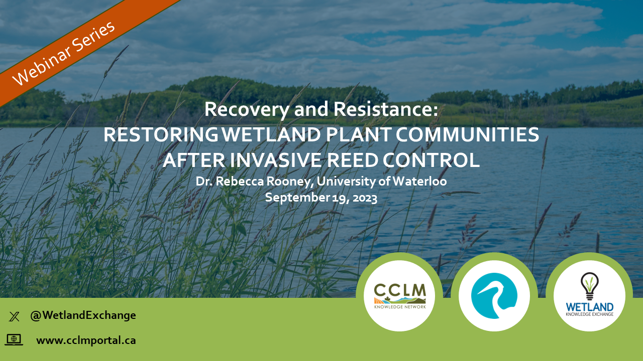
Resource
Resource Date:
September
2023
Recovery and Resistance: Restoring the wetland plant community after invasive reed control Presenter: Dr. Rebecca Rooney, University of Waterloo For established invasions, like European common reed...