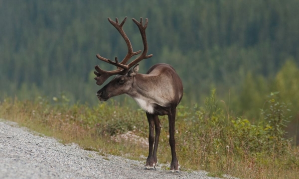
Movement Ecology of Endangered Caribou During a COVID-19 Mediated Pause in Winter Recreation
Resource
Abstract The long-term conservation of species at risk relies on numerous, and often concurrent, management actions to support their recovery. Generally, these actions are habitat-based while others...


