Search Results
Displaying:
1 - 3 of 3

High-resolution Satellite Imagery Applied to Monitoring Revegetation of Oil-sands-exploration Well Pads
Resource
Project demonstrated that high-spatial-resolution satellite imagery could be used to develop accurate land-cover classifications on reclaimed in-situ operations

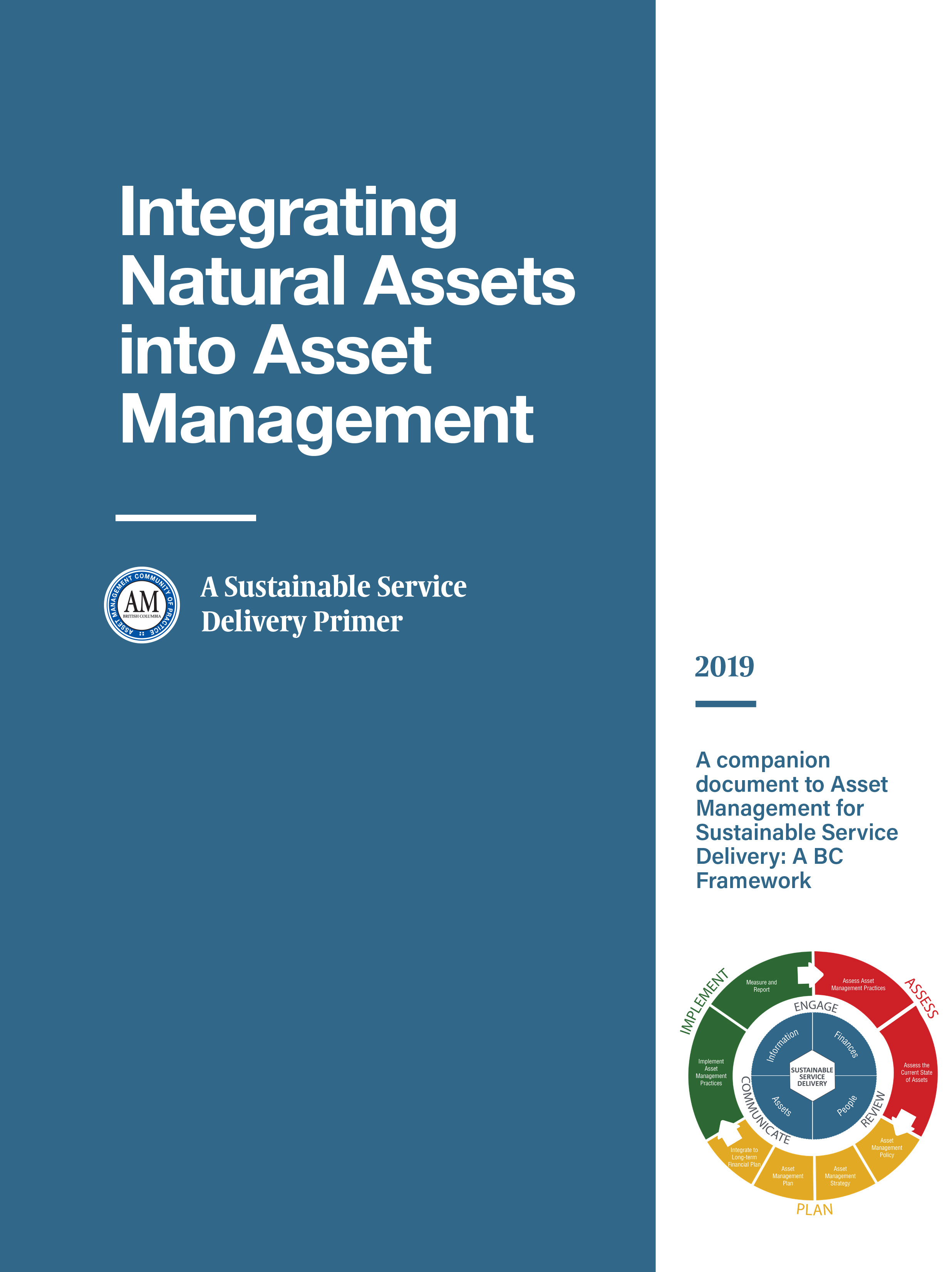
Integrating Natural Assets into Asset Management: A Sustainable Service Delivery Primer
Resource
This primer is for staff of local governments in BC and is intended to help them capitalize on the real and immediate benefits of managing their natural assets.