
Search Results
Displaying:
1 - 5 of 5
“Learning Together”: Braiding Indigenous and Western Knowledge Systems to Understand Freshwater Mussel Health in the Lower Athabasca Region of Alberta, Canada
Resource
Fort McMurray Métis Elders and land users have observed a decrease in the population density of freshwater mussels (known locally as clams; Unionidae) in the lower Athabasca region (LAR) in recent...

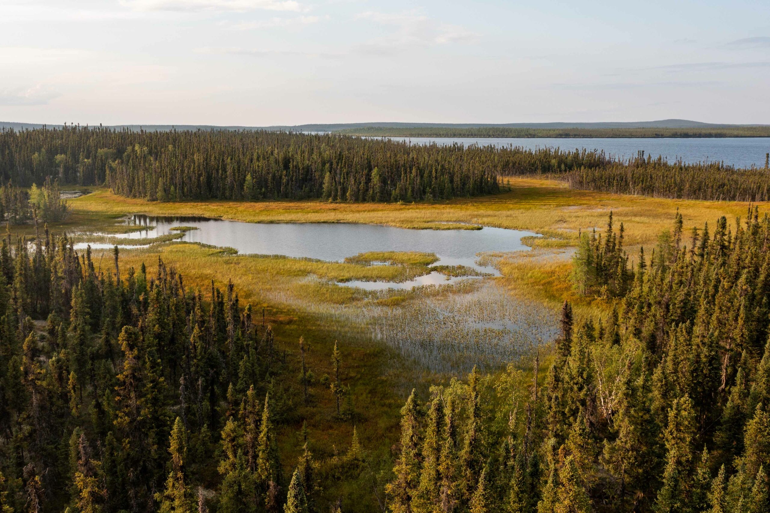
Seal River Watershed to be Canada's Largest Terrestrial IPCA
News
Organization
The 50,000-square-kilometre Seal River watershed in northern Manitoba is one of the largest ecologically intact watersheds in the world. Teeming with biodiversity, its conservation value is almost...
The Third Generation of Pan-Canadian Wetland Map at 10 m Resolution Using Multisource Earth Observation Data on Cloud Computing Platform
Resource
Development of the Canadian Wetland Inventory Map (CWIM) has thus far proceeded over two generations, reporting the extent and location of bog, fen, swamp, marsh, and water wetlands across the country...
