
Search Results
Displaying:
1 - 5 of 5
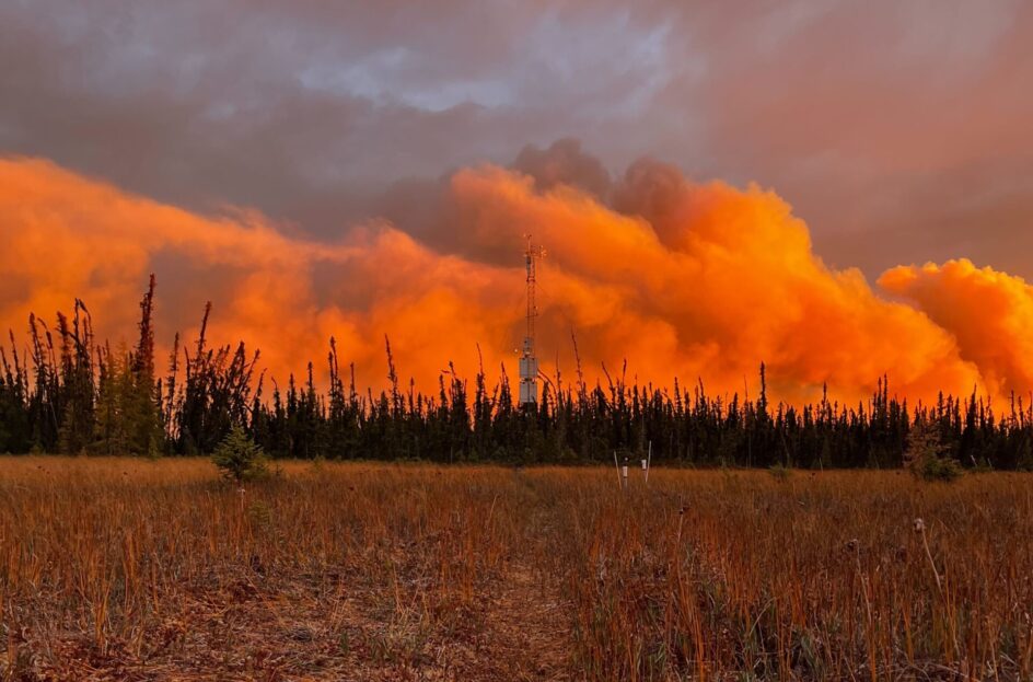
Indigenous-led Climate Research Station Rebuilds After October Wildfire
News
Organization
In October 2022, Scotty Creek Research Station—a prominent climate research facility in the Northwest Territories (NWT) of Canada located within a wetland complex—was almost entirely consumed by an...
Shrub Changes with Proximity to Anthropogenic Disturbance in Boreal Wetlands Determined Using Bi-temporal Airborne LiDAR in the Oil Sands Region, Alberta Canada
Resource
Bi-temporal LiDAR data used to identify correspondence between density of anthropogenic disturbances, wetland shape complexity and changes in vegetation height within >1800 wetlands near Fort McKay

The Third Generation of Pan-Canadian Wetland Map at 10 m Resolution Using Multisource Earth Observation Data on Cloud Computing Platform
Resource
Development of the Canadian Wetland Inventory Map (CWIM) has thus far proceeded over two generations, reporting the extent and location of bog, fen, swamp, marsh, and water wetlands across the country...