
Search Results
Displaying:
1 - 4 of 4
A Map of Global Peatland Extent Created Using Machine Learning (Peat-ML)
Resource
Peatlands play an integral role in the global carbon and hydrologic cycles and make up 3% of the Earth’s total landscape. Despite their importance, there is a lack of accurate information on the...

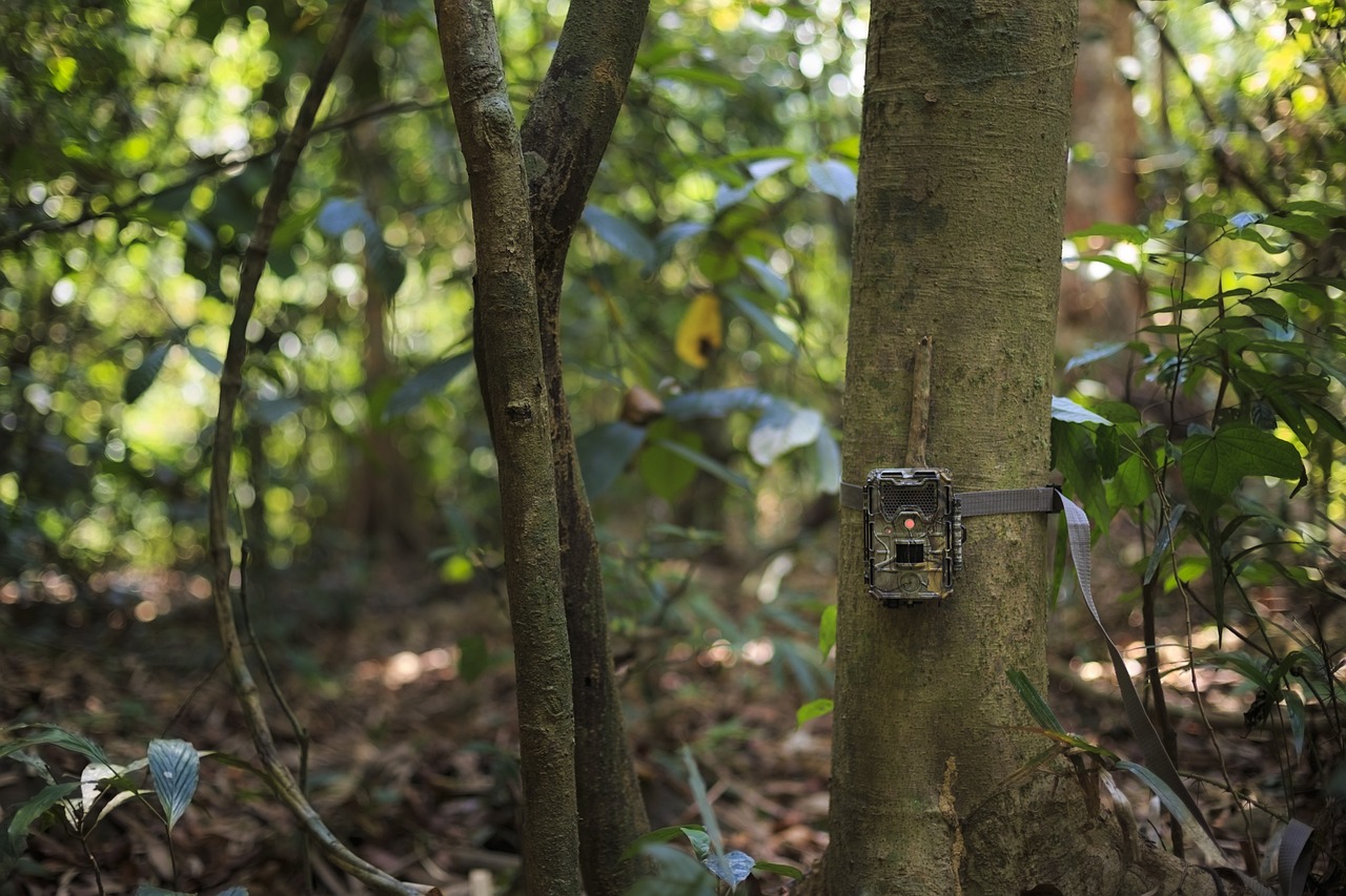
Camera Traps: Getting Started with MegaDetector
Resource
Conservation biologists invest a huge amount of time reviewing camera trap images, and – even worse – a huge fraction of that time is spent reviewing images they aren't interested in. This primarily...
The Third Generation of Pan-Canadian Wetland Map at 10 m Resolution Using Multisource Earth Observation Data on Cloud Computing Platform
Resource
Development of the Canadian Wetland Inventory Map (CWIM) has thus far proceeded over two generations, reporting the extent and location of bog, fen, swamp, marsh, and water wetlands across the country...
