
Search Results
Displaying:
1 - 9 of 9
A Practical Approach to Assessing Existing Evidence for Specific Conservation Strategies
Resource
There is currently a great deal of work being undertaken to collect, analyze, and synthesize available evidence about the effectiveness of conservation strategies. But substantial challenges still...

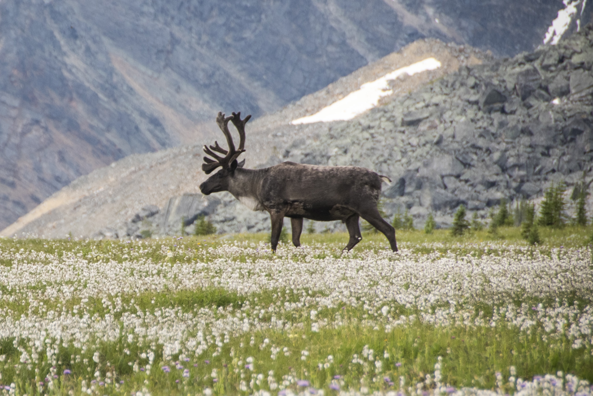
Assessing the Evidence for Adoption of a Conservation Breeding Strategy to Enable Recovery of Southern Mountain Caribou Population in Jasper NP
Resource
This report describes an assessment of the evidence for a conservation breeding program being proposed by Parks Canada to recover threatened woodland caribou populations in Jasper National Park. This...
Erasing Anthropogenic Disturbance: Natural Revegetation of Linear Features Following Wildfire, and the Implications for Woodland Caribou (Rangifer tarandus caribou) Habitat Management
Resource
The federal recovery strategy for woodland caribou identifies wildfires within the last 40 years and anthropogenic disturbance visible at a scale of 1:50,000, including a 500-m buffer, as disturbed...
The Third Generation of Pan-Canadian Wetland Map at 10 m Resolution Using Multisource Earth Observation Data on Cloud Computing Platform
Resource
Development of the Canadian Wetland Inventory Map (CWIM) has thus far proceeded over two generations, reporting the extent and location of bog, fen, swamp, marsh, and water wetlands across the country...

Using LiDAR, Colour Infrared Imagery, and Ground Truth Data for Mapping and Characterizing Vegetation Succession on Disturbance Types: Implications for Woodland Caribou (Rangifer tarandus caribou) Habitat Management
Resource
Woodland caribou (Rangifer tarandus caribou) occur throughout Canada’s boreal forest and have been declining both in distribution and population size along the southern extent of their range...
Vegetation Recovery on Low Impact Seismic Lines in Alberta's Oil Sands and Visual Obstruction of Wolves (Canis lupus) and Woodland Caribou (Rangifer tarandus caribou)
Resource
Low-Impact Seismic (LIS) exploration techniques are being increasingly used in northeastern Alberta, Canada to explore for in-situ oil sands deposits. These narrow (2-4-m wide), meandering man-made...