
Search Results
Displaying:
1 - 6 of 6
Ecological Restoration Monitoring, Maintenance, and Adaptive Management
Event
Event Date and Time
January 25th, 2024 at 9:00am PST to January 25th, 2024 at 11:00am PST
Contact
Organization
Course attendees will learn simple, low-cost monitoring and reporting protocols that allow practitioners to gauge their progress in meeting project goals and keep stakeholders engaged throughout the...

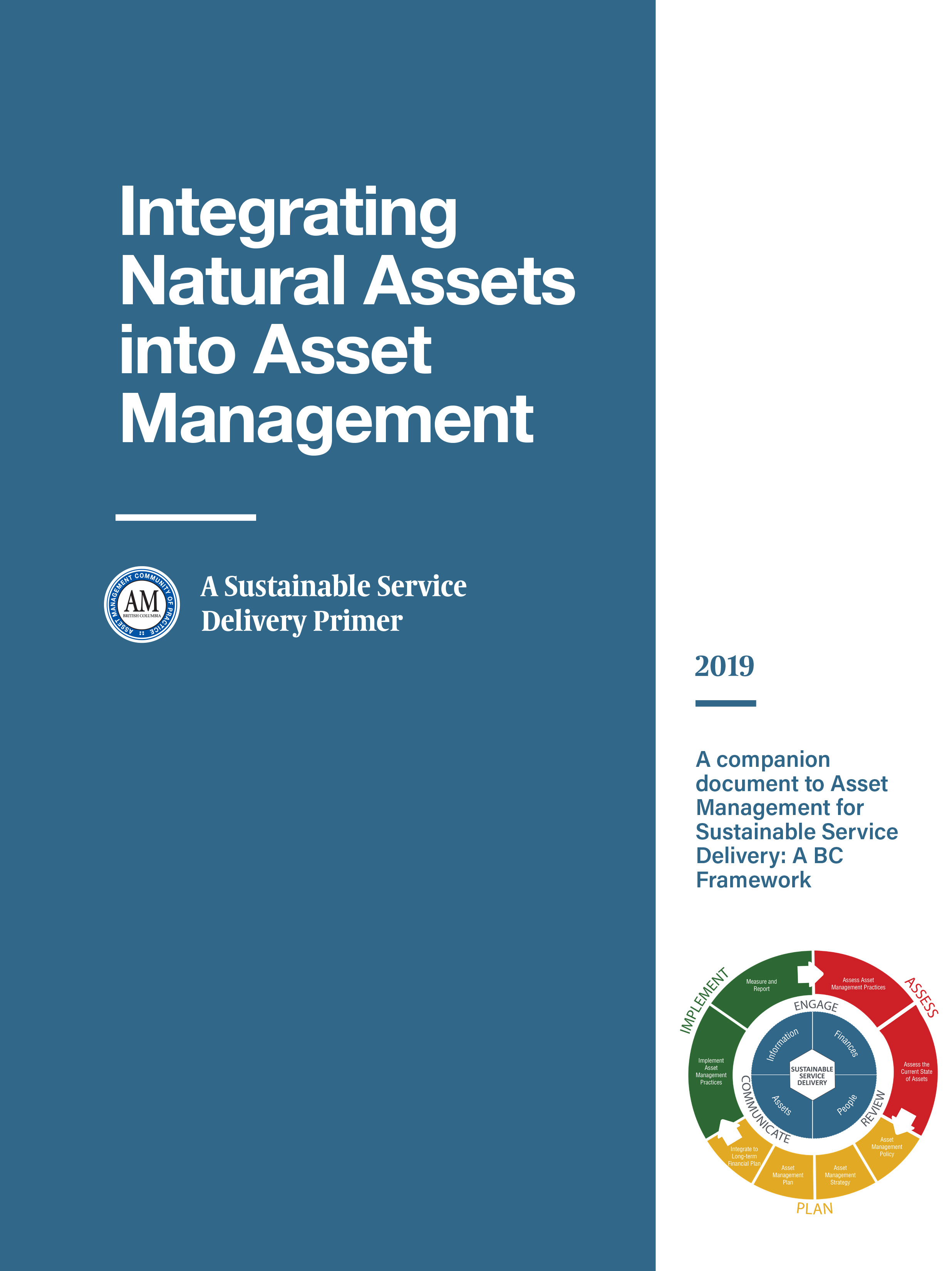
Integrating Natural Assets into Asset Management: A Sustainable Service Delivery Primer
Resource
This primer is for staff of local governments in BC and is intended to help them capitalize on the real and immediate benefits of managing their natural assets.
The Third Generation of Pan-Canadian Wetland Map at 10 m Resolution Using Multisource Earth Observation Data on Cloud Computing Platform
Resource
Development of the Canadian Wetland Inventory Map (CWIM) has thus far proceeded over two generations, reporting the extent and location of bog, fen, swamp, marsh, and water wetlands across the country...

Video - Riparian Vegetation: Identifying Boundaries and Quantifying Structure using LiDAR
Resource
Jay Mills, Vegetation Data Specialist with Jeodesy GIS, talks about LiDAR data and interpreting it for riparian vegetation.
