
Search Results
Displaying:
1 - 9 of 9
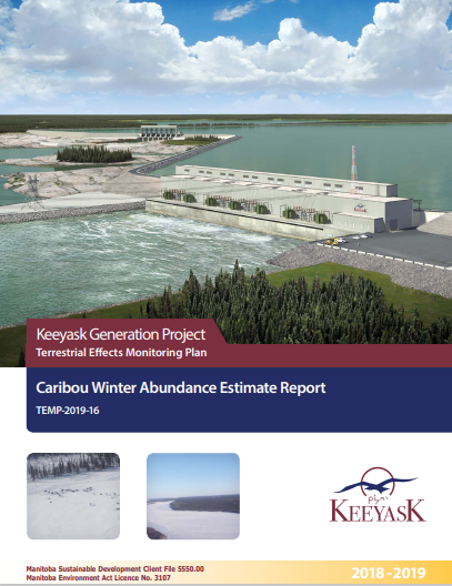
Keeyask Generation Project: Terrestrial Effects Monitoring Plan - Caribou Winter Abundance Estimate Report
Resource
This survey was designed as part of the Keeyask Terrestrial Effects Monitoring Plan (TEMP). The objective of this survey was to evaluate how the Project may be affecting patterns and trends in caribou...
Natural Recovery on Low Impact Seismic Lines in Northeast British Columbia
Project
Contact
Project Description WSP Golder (formerly Golder Associates Ltd) and Explor were supported by the Research and Effectiveness Monitoring Board (REMB) of the BCIP initiative, with funding provided by the...

Natural Recovery on Low Impact Seismic Lines in Northeast British Columbia
Resource
WSP Golder (formerly Golder Associates Ltd) and Explor were supported by the Research and Effectiveness Monitoring Board (REMB) of the BCIP initiative, with funding provided by the BC Oil and Gas...

Peatland Restoration Pathways to Mitigate Greenhouse Gas Emissions and Retain Peat Carbon
Resource
Peatlands play a crucial role in the global carbon (C) cycle, making their restoration a key strategy for mitigating greenhouse gas (GHG) emissions and retaining C. This study analyses the most common...

Pinpoint Allows Seismic to go Lineless
Resource
If you live in western Canada chances are you’ve seen a seismic line. Narrow corridors cut through the bush, seismic lines facilitate access for people and equipment to conduct geophysical surveys to...

Satellite Determination of Peatland Water Table Temporal Dynamics by Localizing Representative Pixels of A SWIR-Based Moisture Index
Resource
The OPtical TRApezoid Model (OPTRAM) is a physically-based approach for remote soil moisture estimation. OPTRAM is based on the response of short-wave infrared (SWIR) reflectance to vegetation water...