
Search Results
Displaying:
1 - 6 of 6

Improving the Fire Weather Index System for Peatlands using Peat-Specific Hydrological Input Data
Resource
The Canadian Fire Weather Index (FWI) system, even though originally developed and calibrated for an upland Jack pine forest, is used globally to estimate fire danger for any fire environment. However...

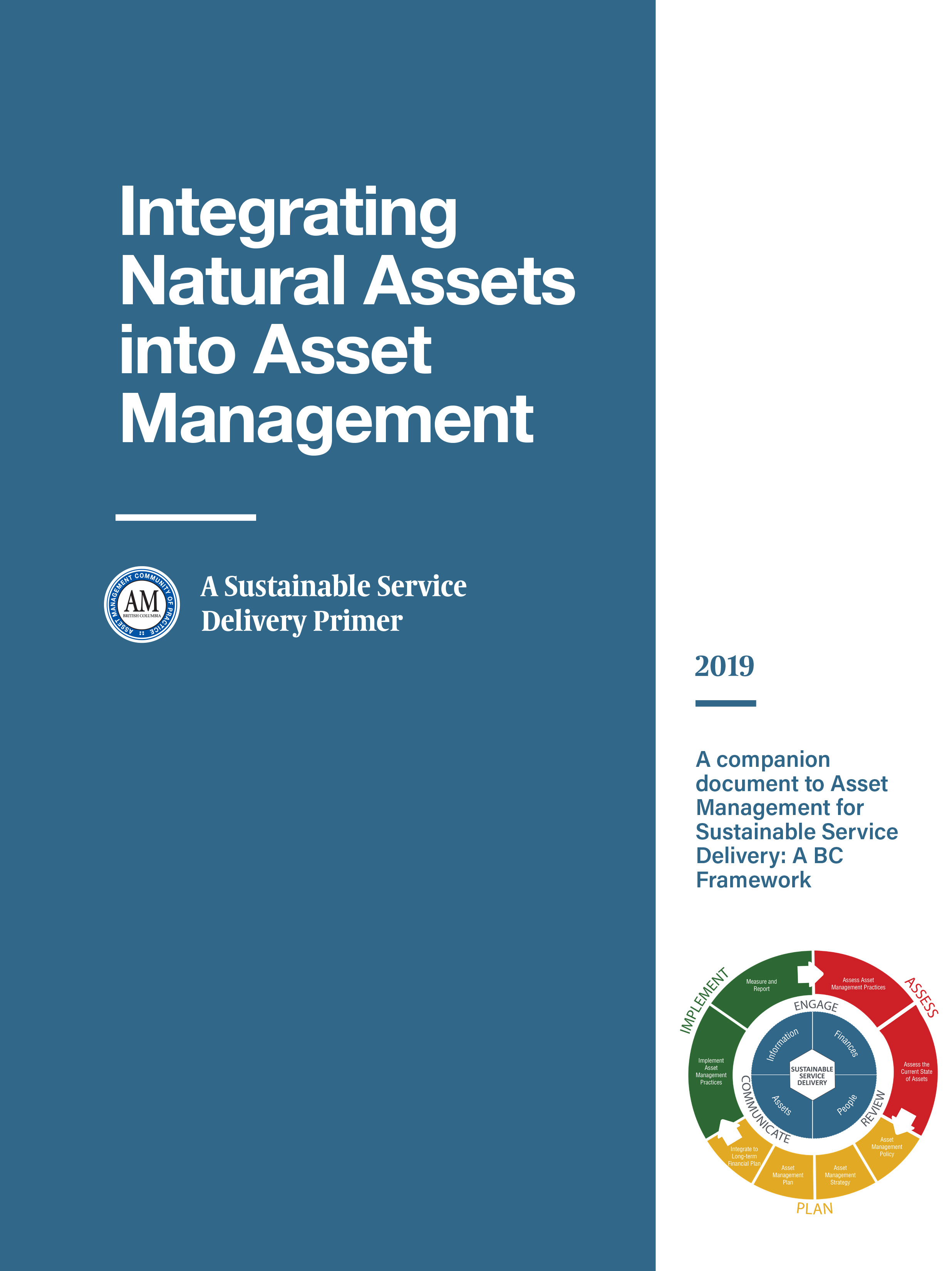
Integrating Natural Assets into Asset Management: A Sustainable Service Delivery Primer
Resource
This primer is for staff of local governments in BC and is intended to help them capitalize on the real and immediate benefits of managing their natural assets.
Jonas Mortelmans
Contact
Organization
Position Title
PhD Researcher (Earth and Environmental Sciences)
Satellite Determination of Peatland Water Table Temporal Dynamics by Localizing Representative Pixels of A SWIR-Based Moisture Index
Resource
The OPtical TRApezoid Model (OPTRAM) is a physically-based approach for remote soil moisture estimation. OPTRAM is based on the response of short-wave infrared (SWIR) reflectance to vegetation water...

Webinar: Wildlife Camera Survey Guidelines & Metadata Standards
Event
Event Date and Time
April 25th, 2023 at 12:00pm MST to April 25th, 2023 at 1:00pm MST
Organization
Remote Camera Survey Guidelines (RCSC and WildCAM, unpublished work) and Wildlife Camera Metadata Standards were developed for Alberta (Wildlife Camera Metadata: Standards for Alberta [RCSC, 2022])...
