A draft Excess Soil Reuse Guidance document from the Canadian Council of Ministers of the Environment is available for public review and comment until January 3, 2023. It is available in both English...
Project demonstrated that high-spatial-resolution satellite imagery could be used to develop accurate land-cover classifications on reclaimed in-situ operations
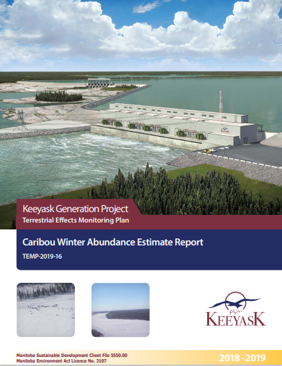
This survey was designed as part of the Keeyask Terrestrial Effects Monitoring Plan (TEMP). The objective of this survey was to evaluate how the Project may be affecting patterns and trends in caribou...