
Search Results
Displaying:
1 - 4 of 4
Shrub Changes with Proximity to Anthropogenic Disturbance in Boreal Wetlands Determined Using Bi-temporal Airborne LiDAR in the Oil Sands Region, Alberta Canada
Resource
Bi-temporal LiDAR data used to identify correspondence between density of anthropogenic disturbances, wetland shape complexity and changes in vegetation height within >1800 wetlands near Fort McKay

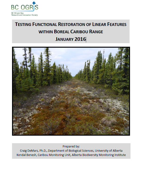
Testing Functional Restoration of Linear Features within Boreal Caribou Range
Resource
The boreal ecotype of woodland caribou ( Rangifer tarandus caribou) is provincially Red-listed in British Columbia and federally listed as Threatened. Population declines of boreal caribou have been...
Webinar - Wetlands and Forestry: Highlights of a Regulatory Review - Ont to BC
Resource
This presentation provides an overview of how wetlands are incorporated in the context of provincial forest management planning frameworks in Ontario, Manitoba, Saskatchewan, Alberta, and BC.
