
Search Results
Displaying:
1 - 4 of 4
Shrub Changes with Proximity to Anthropogenic Disturbance in Boreal Wetlands Determined Using Bi-temporal Airborne LiDAR in the Oil Sands Region, Alberta Canada
Resource
Bi-temporal LiDAR data used to identify correspondence between density of anthropogenic disturbances, wetland shape complexity and changes in vegetation height within >1800 wetlands near Fort McKay

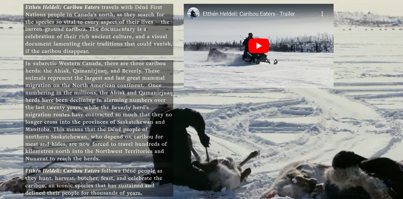
Video - Caribou Eaters
Resource
The Etthén Heldeli (Caribou Eaters) documentary produced in 2018 follows Dene caribou hunters who rely on the Ahiak, Qamanirjuaq, and Beverly herds. This website contains several resources associated...
Webinar - Wetland Delineation Methods
Resource
This presentation provides an overview of methods for delineating wetland boundaries using a three-factor approach, which involves indicators of hydrophytic vegetation, hydric soil, and wetland...
