
Search Results
Displaying:
1 - 20 of 22
Impacts of Climate and Catastrophic Forest Changes on Streamflow and Water Balance in a Mountainous Headwater Stream in Southern Alberta
Resource
Rivers in Southern Alberta are vulnerable to climate change because much of the river water originates as snow in the eastern slopes of the Rocky Mountains.

Microtopography Matters: Belowground CH4 Cycling Regulated by Differing Microbial Processes in Peatland Hummocks and Lawns
Resource
This resource is available on an external database and may require a paid subscription to access it. It is included on the CCLM to support our goal of capturing and sharing the breadth of all...

Modeling Framework for Representing Long-Term Effectiveness of Best Management Practices in Addressing Hydrology and Water Quality Problems: Framework Development and Demonstration using a Bayesian Method
Resource
This resource is available on an external database and may require a paid subscription to access it. It is included on the CCLM to support our goal of capturing and sharing the breadth of all...

On the Use of Mulching to Mitigate Permafrost Thaw due to Linear Disturbances in Sub-Arctic Peatlands
Resource
The presence or absence of permafrost strongly influences the hydrology and ecology of northern watersheds. Resource exploration activities are currently having profound effects on hydrological and...

Proceedings of a Workshop to Develop a Strategic Plan for a Watershed Assessment Model (WAM)
Resource
Report of proceedings from a workshop to produce a strategic plan for developing a Watershed Assessment Model and identifying key project events.
Vegetation Growth on Seismic Lines in West-Central and North-Western Alberta
Resource
Seismic lines are slow to recover naturally, and many seismic lines need to be restored to contribute towards caribou recovery. Caribou predators use seismic lines to travel throughout caribou ranges...

Video - A Drainage Network Model for Regional-scale Land-use Planning in Alberta's Foothills
Resource
Dr. Richard McCleary draws the links between what we see in the field to the maps we have for planning and points out that the information we need for watershed assessment and riparian zones is the same.

Video - Adaptive Management and Native Fish Conservation Planning
Resource
Dr. Lorin Hicks talks about the Montana example of habitat conservation planning in forestry management.

Video - Alberta's Watershed Management Symposium: Flood and Drought Mitigation
Resource
This public symposium covers Alberta's progress to improve its flood and drought resiliency, including the role of natural solutions. NOTE: This is a 4 hour video with multiple presenters
Video - Can Wet Areas Mapping Data Contribute to Riparian Management?
Resource
Dr. Barry White reviews the progress made with LiDAR and wet area mapping in Alberta.

Video - Hidden Creek: A Case Study for Headwaters Management
Resource
This presentation reviews the forest management planning for Hidden Creek, a tributary to the Oldman River in southwestern Alberta.

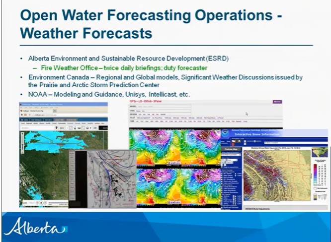
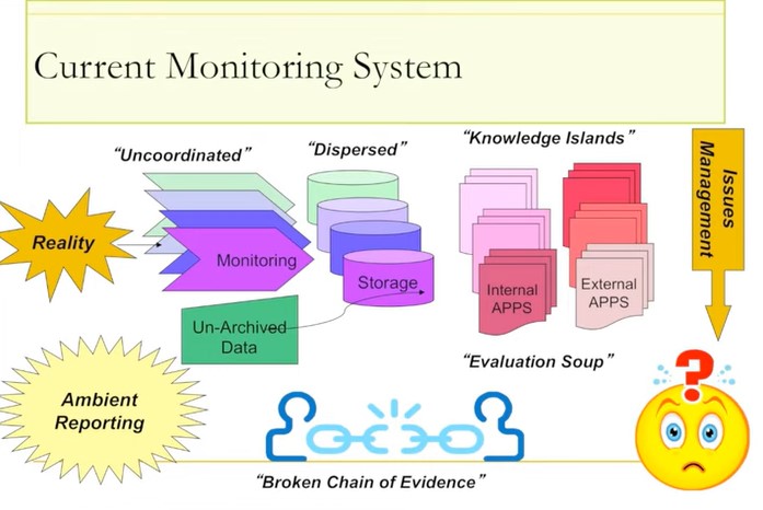
Video - Raising the Bar: Development of a World Class Environmental Monitoring System for Alberta
Resource
Ernie Hui gave a keynote address at the CWRA-WPAC joint conference on March 13, 2013. Ernie Hui is the CEO, Environmental Monitoring, for Alberta Environment and Sustainable Resource Development. The...
Video - Riparian Digital Mapping Using Ecological Boundaries in West-central Alberta
Resource
Dr.Rick Bonar describes how riparian mapping is used to define riparian ecological areas and the management strategy for those areas.

Video - Riparian Management in Alberta's Forests: Where we are - Where we are Going
Resource
ohn Stadt, Alberta Environment and Sustainable Resource Development, describes forestry management policy in Alberta specifically in regards to riparian zones in forests.

Video - Riparian Vegetation: Identifying Boundaries and Quantifying Structure using LiDAR
Resource
Jay Mills, Vegetation Data Specialist with Jeodesy GIS, talks about LiDAR data and interpreting it for riparian vegetation.

Video - Riparian Zones are Part of the Landscape Too
Resource
Dr. David Andison covers how our current practice of protecting riparian areas in forest areas is driving ecosystems to uniformity when natural riparian forest zones in Alberta's foothills are diverse.

Video - Streamside Management and Riparian Assessments in British Columbia
Resource
Derek Tripp reviews British Columbia's forestry riparian management planning and provides examples of how riparian assessments are made using BC's checklists and forms.

Video - The Alberta Flood Mitigation Symposium
Resource
The Alberta Flood Mitigation Symposium is bringing together experts, community representatives and Albertans to discuss ideas and best practices for flood mitigation. Note: This is a 5 hour video with...
