Boreal Caribou Search Results
Resource
The various applications of Ducks Unlimited Canada’s wetland inventories play a critical role in wetland conservation. They serve as key planning tools, helping people who live and work in the boreal...
Resource
The presentation describes the purpose and development of a water purification model that can be used to help decision-makers evaluate tradeoffs for land use development proposals
Resource
This presentation talks about Bathymetric LiDARs for Hydrographic Mapping with a focus on ALTM systems and data fusion.
Resource
In order to protect boreal wetlands, we must first know where they are. This 6-minute video will show you how Ducks Unlimited Canada uses satellite data and remote sensing techniques to map wetlands...
Resource
Dr. Barry White reviews the progress made with LiDAR and wet area mapping in Alberta.
Resource
At the 2012 Alberta Institute of Agrologists conference, Bob Sanford - Chair, United Nations Water for Life Decade - gave a presentation about the variability of western Canada's climate, and what that may mean for the future.
Resource
Resource Date:
April
2017
This presentation explains the holistic approach to protecting the watershed of the North Saskatchewan River.
Resource
Resource Date:
March
2013
This presentation describes how focusing on functional flows versus typical water conservation management could improve aquatic in-stream ecosystems while meeting current water allocations.
Resource
Resource Date:
March
2013
This presentation reviews the forest management planning for Hidden Creek, a tributary to the Oldman River in southwestern Alberta.
Resource
Authors
NAIT Centre for Boreal Research
NAIT Centre for Boreal Research (formerly NAIT Boreal Research Institute) is developing cost effective methods to restore the ecological functions of the decommissioned wellsites with the surrounding...
Resource
Resource Date:
April
2017
This presentation discusses the work of Alberta Environment and Parks on the water management framework in the industrial heartland and the capital region.
Resource
Authors
G20 Global Land Initiative
Ramsar Convention on Wetlands
UN Decade for Ecosystem Restoration
UN Environment Programme
On the occasion of Word Wetlands Day on 2 February 2023, the G20 Global Land Initiative Coordination Office in partnership with the Ramsar Convention on Wetlands, UN Decade for Ecosystem Restoration...
Resource
Authors
NAIT Centre for Boreal Research
The NAIT Centre for Boreal Research (formerly NAIT Boreal Research Institute) is in the Peace River oilsands region of northwestern Alberta. One of the key research initiatives at the Centre is...
Resource
At the 2012 Alberta Institute of Agrologists conference, Thorsten Hebben from Alberta Environment and Sustainable Resource Development presented on the effects that drugs, personal care products and plasticizers have on wastewater in Alberta.
Resource
Resource Date:
April
2017
This presentation discusses watersheds and environmental planning and practical tools for improving water quality in the North Saskatchewan River basin.
Resource
Authors
Dean MacKenzie
Bonnie Drozdowski
Since 2018, InnoTech Alberta, Vertex Resource Group Ltd., Northern Alberta Institute of Technology, and Enviro Q&A Services have been working on a PTAC-sponsored project to provide recommendations for...
Resource
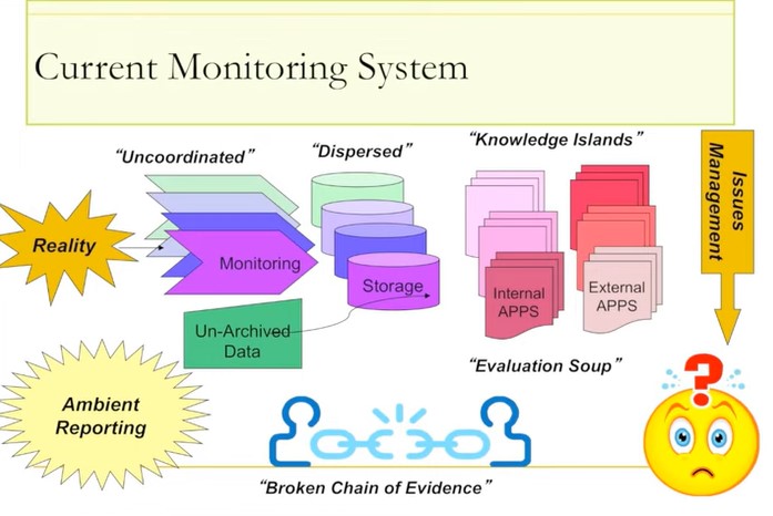
Ernie Hui gave a keynote address at the CWRA-WPAC joint conference on March 13, 2013. Ernie Hui is the CEO, Environmental Monitoring, for Alberta Environment and Sustainable Resource Development. The...
Resource
Authors
Felix Faichney
Jean Birks
Margie Wood
Brandon Paquette
Stephen Slongo
The Fort McKay Métis Nation is using its Indigenous Knowledge to inform a community-led water monitoring program on the Red River, also called the McKay River, an important water source for their...
Resource
Resource Date:
January
2016
Canada’s forested landscapes feature numerous wetlands, such as fens, bogs and swamps, which present environmental and operational challenges during the planning, construction and maintenance of...
Resource
Dr.Rick Bonar describes how riparian mapping is used to define riparian ecological areas and the management strategy for those areas.