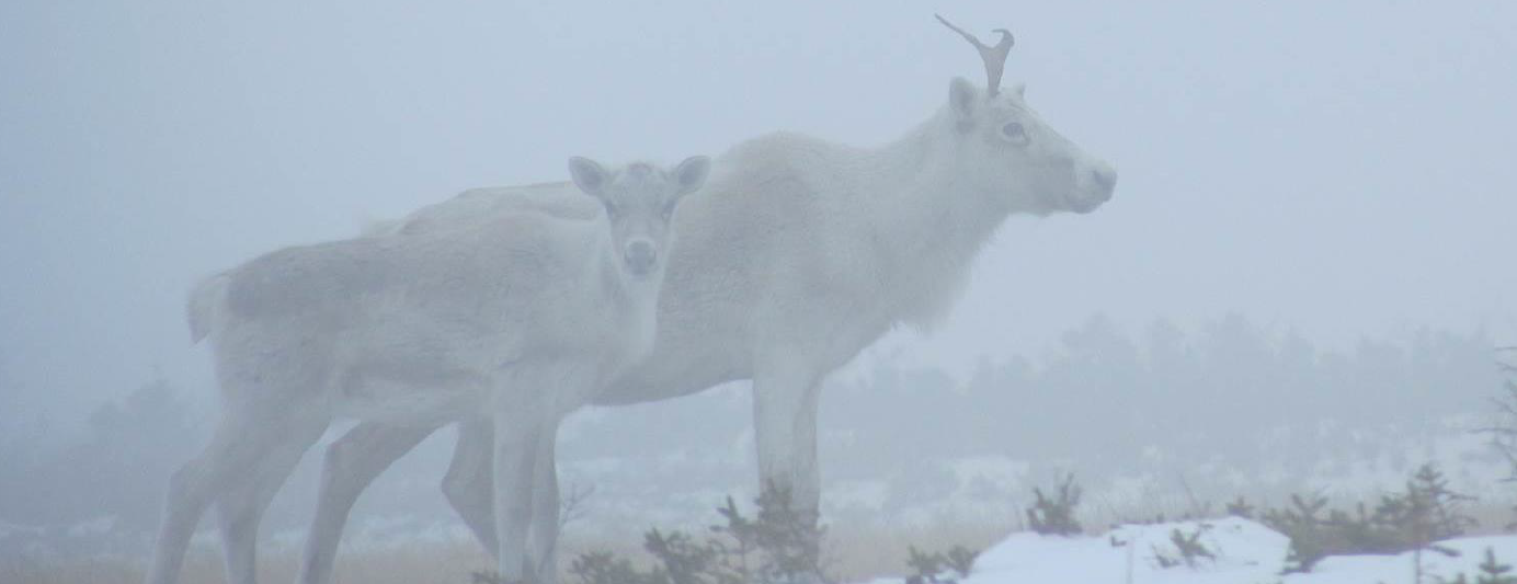
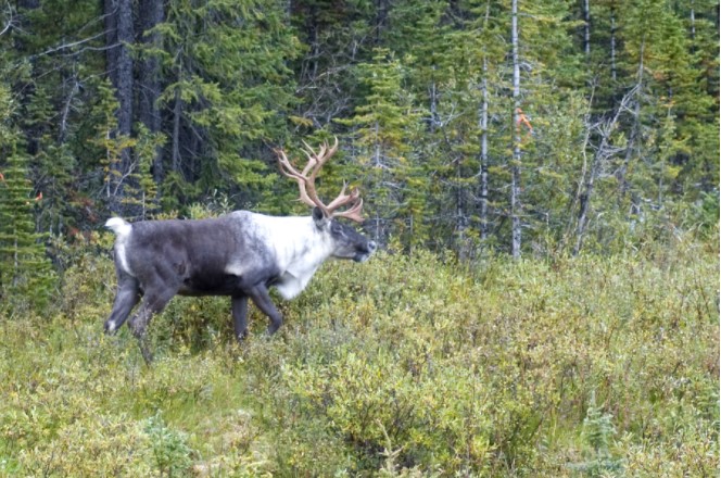
Boreal Caribou Search Results
Resource
Authors
Doug MacNearney
Karine Pigeon
Laura Finnegan
Resource Date:
October
2016
We used GPS telemetry location data from 63 adult caribou and 6 adult wolves to build spatially explicit resource selection function (RSF) rasters. These RSF rasters describe the within-home-range...
Resource
Comprehensive assessment of mixing characteristics of the Athabasca River below Fort McMurray under ice-covered flow conditions. Two tracer tests conducted and analysed using recent theoretical models
Resource
Potential for using satellite imagery to determine water quality parameters in the southwest end of Lake Athabasca and provide a mathematical model capable of simulating the circulation patterns
Resource
Authors
Megan Hornseth
Karine Pigeon
Doug MacNearney
Terrence Larsen
Gordon Stenhouse
Jerome Cranston
Laura Finnegan
Natural regeneration of seismic lines, cleared for hydrocarbon exploration, is slow and often hindered by vegetation damage, soil compaction, and motorized human activity. There is an extensive...
Resource
Authors
Andrew Latham
Maria Latham
Mark Boyce
Stan Boutin
Resource Date:
December
2011
This resource is available on an external database and may require a paid subscription to access it. It is included on the CCLM to support our goal of capturing and sharing the breadth of all...
Resource
Authors
Cassidy van Rensen
Scott Nielsena
Barry White
Tim Vinge
Victor Lieffers
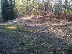
Mapping of oil reserves involves the use of seismic lines (linear disturbances) to determine both their location and extent. Conventional clearing techniques for seismic assessment have left a legacy...
Resource
Authors
Hedwig Lankau
Erin Bayne
Craig Machtans
The boreal forest of western Canada is being dissected by seismic lines used for oil and gas exploration. The vast amount of edge being created is leading to concerns that core habitat will be reduced...
Resource
Mapping of oil reserves involves the use of seismic lines (linear disturbances) to determine size of reserves. These linear disturbances fragment forests and in many cases fail to regenerate trees...
Resource
Modelling results for the regional watersheds were encouraging and demonstrate that SWATBF has the potential to be utilized as a practical tool for conducting hydrologic assessments in the oil sands
Resource
Authors
Chantel Markle
Paul Moore
Mike Waddington
Identifying ecosystems resilient to climate and land-use changes is recognized as essential for conservation strategies. However, wetland ecosystems may respond differently to stressors depending on...
Resource
Authors
Nobuya Suzuki
Katherine Parker
Resource Date:
December
2019
Highlights • Maintain connectivity to preserve high-value habitats of caribou and grizzly bears. • Avoiding predation risk does not always maintain intact habitat for caribou. • Conserving most...
Resource
Authors
Richard Schneider
Erin Bayne
Our climate envelope projections for the 2080s indicate that virtually all reserves will, in time, be comprised of different ecosystem types than today.
Resource
Authors
Alberta Environmental Protection, Technical Services and Monitoring Division
Study was undertaken in response to concerns raised by the City of Fort McMurray over the validity of the elevation established in previous studies as representing the 1 in 100 year design flood level
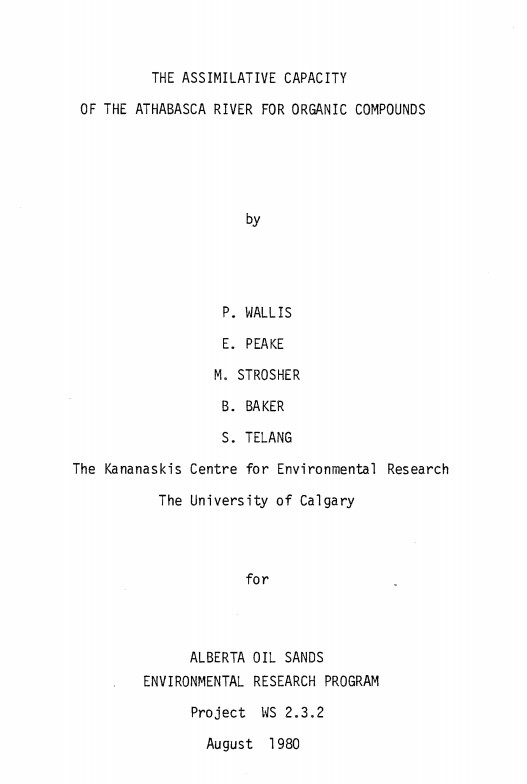
Resource
Authors
P. Wallis
Eric Peake
Melvin Strosher
B. Baker
S. Telang
Provide a problem analysis of the goal to determine the assimilative capacity of the Athabasca River with special regard to organics
Resource
Authors
Paul Pickell
David Andison
Nicholas Coops
Sarah Gergel
Peter Marshall
Resource development can have significant consequences for the distribution of vegetation cover and for species persistence. Modelling changes to anthropogenic disturbance regimes over time can...
Resource
Authors
Cesar Estevo
Diana Stralberg
Scott Nielsen
Erin Bayne
Climate change refugia are areas that are relatively buffered from contemporary climate change and may be important safe havens for wildlife and plants under anthropogenic climate change. Topographic...
Resource
Authors
Richard Schneider
Grant Hauer
Vic Adamowicz
Stan Boutin
This resource is available on an external database and may require a paid subscription to access it. It is included on the CCLM to support our goal of capturing and sharing the breadth of all...
Resource
Authors
David Latham
Cecilia Latham
Mark Boyce
Stan Boutin
In this study, we examined seasonal coyote and black bear use of industrial linear features and rivers and streams (i.e. natural linear features). We used two methods to assess movement behavior...
Resource
Seismic lines are slow to recover naturally, and many seismic lines need to be restored to contribute towards caribou recovery. Caribou predators use seismic lines to travel throughout caribou ranges...
Resource
As a consequence of climate change, current landscape patterns are unlikely to persist in the future. The types of ecological changes expected to occur as the climate warms are described