Land Management Search Results
Resource
Authors
Laureen Echiverri
Ellen Macdonald
Resource Date:
September
2019
For the purpose of informing biodiversity conservation efforts in managed landscapes, we explored whether and how understory plant communities (abundance, diversity, composition) were related to a...
Resource
Seismic lines are slow to recover naturally, and many seismic lines need to be restored to contribute towards caribou recovery. Caribou predators use seismic lines to travel throughout caribou ranges...
Resource
Dr. Richard McCleary draws the links between what we see in the field to the maps we have for planning and points out that the information we need for watershed assessment and riparian zones is the same.
Resource
This presentation discusses the need for a multi-level classification for boreal wetlands and accurate change detection.
Resource
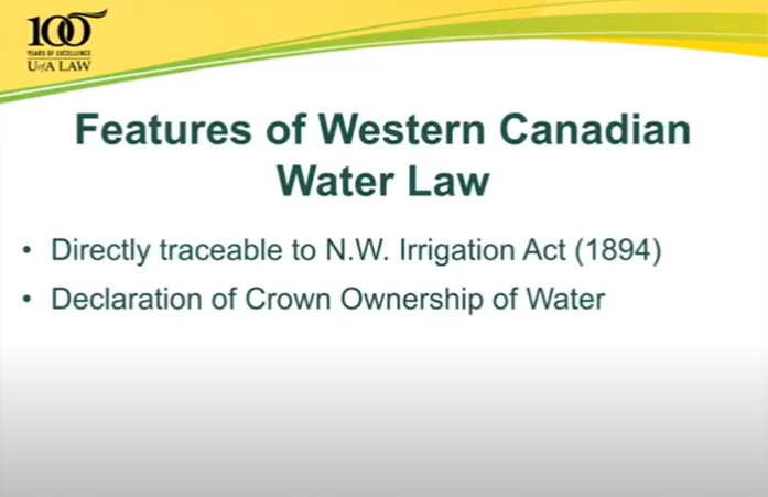
This talk summarizes the progression of water law and water rights policy in Western Canada and provides some possible solutions for current and emerging challenges.
Resource
Resource Date:
March
2013
This presentation discusses the state of wetland and peatland conservation in Alberta.
Resource
This 2016 talk provides an overview of some of the issues related to groundwater in Alberta.
Resource
This 2012 talk presented the government's take on provincial water priorities, specifically in regards to the provincial wetlands policy.
Resource
Dr. Barry White reviews the progress made with LiDAR and wet area mapping in Alberta.
Resource
Authors
NAIT Centre for Boreal Research
NAIT Centre for Boreal Research (formerly NAIT Boreal Research Institute) is developing cost effective methods to restore the ecological functions of the decommissioned wellsites with the surrounding...
Resource
Authors
NAIT Centre for Boreal Research
Resource Date:
April
2020
Exploration of resources (i.e. oil and gas, forestry) creates numerous temporary access features, including seismic lines, winter roads, and oil sands exploration (OSE) wells in boreal peatlands...
Resource
Resource Date:
April
2017
This presentation discusses the work of Alberta Environment and Parks on the water management framework in the industrial heartland and the capital region.
Resource
Resource Date:
January
2016
The Duck Mountain Provincial Forest in west-central Manitoba is a landbase with a mosaic of uplands and wetlands. The wetlands are both interspersed and interconnected with uplands. Ecosystem Based...
Resource
Authors
Wendy MacKeigan
Alex Mifflin
Tyler Mifflin
Samantha Blake
Jacob Thompson
Nick Koro
Resource Date:
November
2023
Wetlands are the most diverse and ecologically important ecosystems in Ontario. They help purify water, control floods, reduce erosion and fight climate change. They provide critical habitat for...
Resource
At the 2012 Alberta Institute of Agrologists conference, Thorsten Hebben from Alberta Environment and Sustainable Resource Development presented on the effects that drugs, personal care products and plasticizers have on wastewater in Alberta.
Resource
At the 2012 conference for the Alberta Institute of Agrologists, Jennifer Grant - oilsands program director for the Pembina Institute - gave a presentation on how water is used in the oilsands.
Resource
Dr.Rick Bonar describes how riparian mapping is used to define riparian ecological areas and the management strategy for those areas.
Resource
ohn Stadt, Alberta Environment and Sustainable Resource Development, describes forestry management policy in Alberta specifically in regards to riparian zones in forests.
Resource
Jay Mills, Vegetation Data Specialist with Jeodesy GIS, talks about LiDAR data and interpreting it for riparian vegetation.
Resource
Dr. David Andison covers how our current practice of protecting riparian areas in forest areas is driving ecosystems to uniformity when natural riparian forest zones in Alberta's foothills are diverse.