Land Management Search Results
Resource
Summary of the meteorological data collected by the meteorological tower network in the Gregoire Lake region of northeast Alberta during the spring and summer of 1979 to monitor impact of Amoco plant
Resource
Resource Date:
January
2018
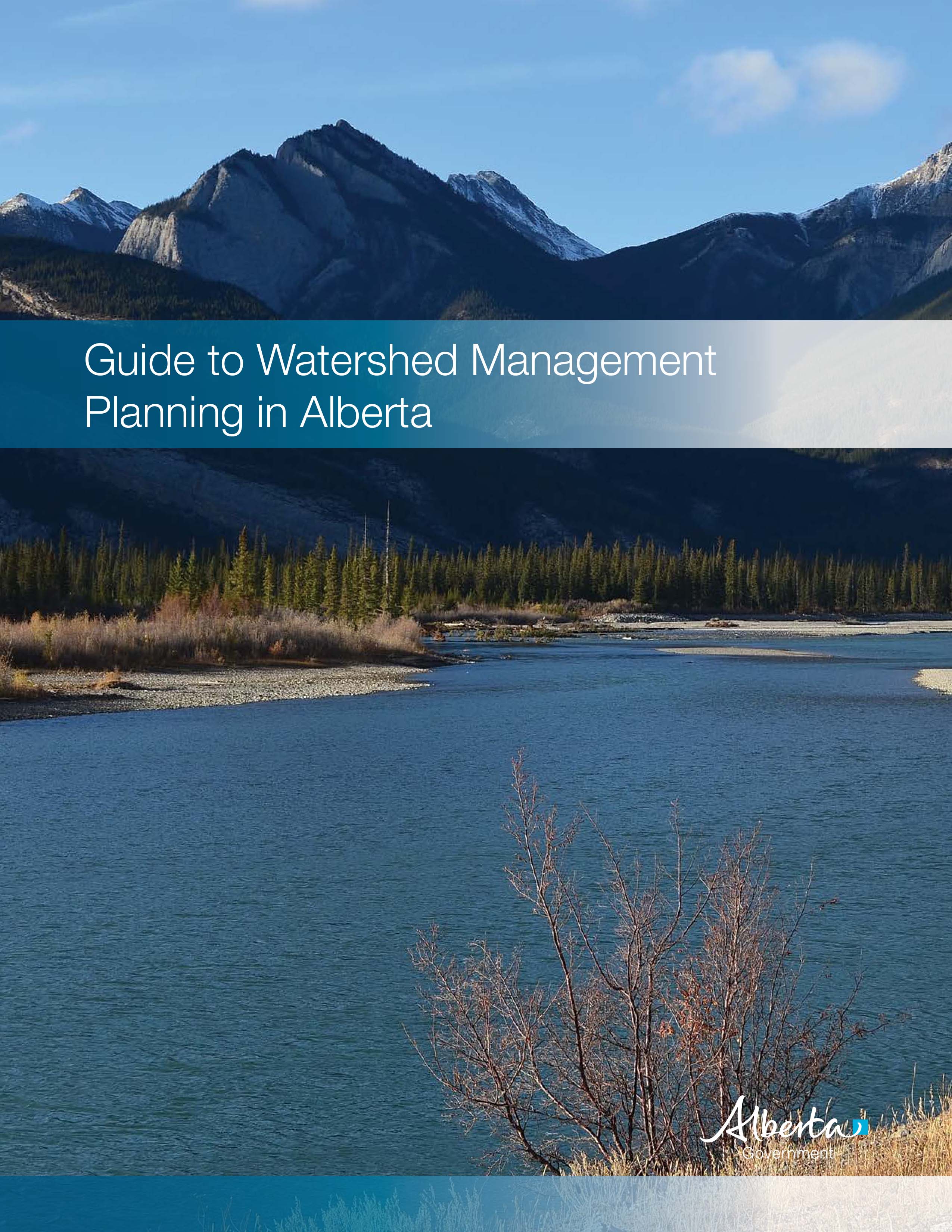
The Guide to Watershed Management Planning in Alberta provides advice on the steps to develop and implement a watershed management plan.
Resource
Resource Date:
December
2018
This practitioner guide provides a user-friendly overview of the interactions between boreal wetlands and forests and what these interactions mean for forest managers working in Canada’s boreal.
Resource
Resource Date:
December
2018
This technical report describes in detail the interactions between boreal wetlands and forests and how forest managers can use this information to help avoid or minimize adverse effects on wetlands.
Resource
Breeding bird studies using the mapping method were combined with intensive habitat quantification to determine the relative values to breeding avifauna of 21 habitat types
Resource
Authors
Roderick Allan
Togwell Jackson
To document the natural heavy metal geochemistry of the sediment and to assess cultural influences if any on concentrations. Absolute concentrations are low compared to data for polluted sediments
Resource
Authors
Roderick Allan
Togwell Jackson
Dredged sediments and sediment cores were collected from sites along the Athabasca River system from between Fort McMurray and the confluence of Riviere des Rochers with the Slave River
Resource
Authors
Stanley Van Dyke
Brian Reeves
In the course of the program, 7,608 shovel tests were excavated for the purpose of locating prehistoric sites in Syncrude's Bituminous Sands Lease No. 22.
Resource
Authors
E.J. McCullough
Brian Reeves
This assessment was designed to locate and assess prehistoric and historic sites which might be present in the area between the Beaver and MacKay Rivers. Three prehistoric sites were recorded
Resource
Authors
Northern River Basins Human Health Monitoring Program Management Committee
Data base and a series of maps on where certain diseases, conditions and visits to physicians and hospitals were reported. Assembling an extensive environmental data base was more difficult than expec
Resource
Describe, ananlyse, and interpret the socio-economic changes which had occurred in Fort McMurray from development of Suncor and Syncrude operations and assess changes in relation to development stages
Resource
Streamflow in all basins influenced by the disturbance of muskeg. Where muskeg is removed and replaced by mineral soils, stream discharge will decrease during spring runoff and stormflow periods
Resource
Hydrotechnical research in the Alberta Oil Sands has been oriented toward establishment of baseline (pre-development) environmental conditions and identification of contaminant transport mechanisms
Resource
Resource Date:
January
2016
The presentation reviews physical and functional disturbances, best management practices, and opportunities for project planning/design, construction, operation and infrastructure decommissioning.
Resource
Authors
James Ryan
Gerald Hilchie
Representatives of 50 insect families were collected in sweep net samples, and additional families were observed to be present on the Suncor dike. Insect attacks were severe on conifer trees
Resource
Heavy oils produced from the Alberta oil sands contain cyclic organic compounds together with sulphur and nitrogen. Upon thermal treatment they have potential to form carcinogenic, mutagenic, and toxi
Resource
Authors
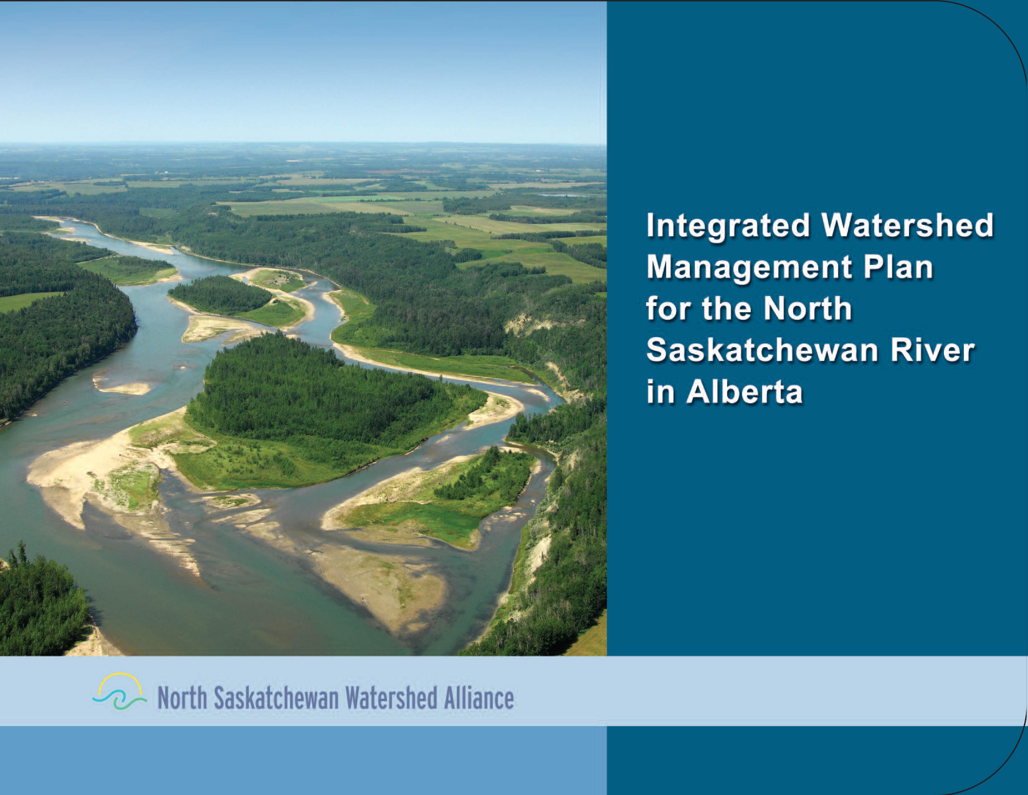
North Saskatchewan Watershed Alliance (NSWA)
This Integrated Watershed Management Plan (IWMP) lays out recommendations and an approach to manage the North Saskatchewan River (NSR) Watershed.
Resource
This report contains all the available suspended sediment discharge information for 1976 that was collected by Water Survey of Canada and by Alberta Oil Sands Environmental Research Program (AOSERP)...
Resource
This compilation report contains all the available 1977 suspended sediment concentration and particle size data collected in the Alberta Oil Sands Environmental Research Program study area.
Resource
Contains all available 1979 hydrometric data including daily discharges for streamflow stations with corresponding hydrographs and stage-discharge curves and water level information for gauged lakes.