Land Management Search Results
Resource
The Emend for Schools: 360° Video EMEND Tour Teachers Resource is a full lesson plan and 360 immersive and interactive video teaching tool, including a teacher lesson plan and student workbook aligned...
Resource
Authors
Wetland Knowledge Exchange
Resource Date:
November
2023
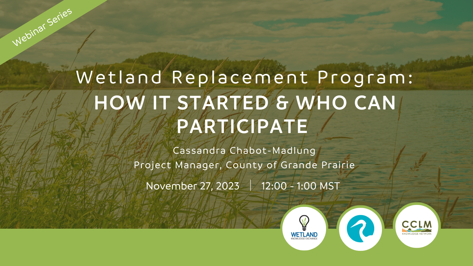
Cassandra Chabot-Madlung, County of Grande Prairie presents - Wetland Replacement Program: How it Started & Who Can Participate This is a Municipal viewpoint of Alberta Environment and Protected Areas...
Resource
Dr. Barry White reviews the progress made with LiDAR and wet area mapping in Alberta.
Resource
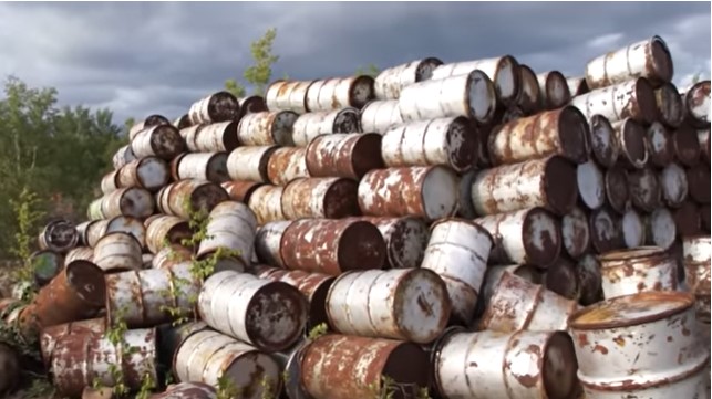
Uranium mining in the Athabasca Basin region in Northern Saskatchewan was developed in the early 1950s. The mines developed during this period were abandoned, leaving deep holes and mining debris...
Resource
Authors
Dianne Allen
Mark Calette
In 1960, the Lorado Mill was abandoned in northern Saskatchewan, leaving an estimated 227,000 cubic meters of radioactive uranium tailings that covered the mill site and flowed into nearby Nero Lake...
Resource
Authors
Alexey Klyashtorin
Tamara Yankovich
The Gunnar Mine site is part of a cleanup project, Project CLEANS (Cleanup of Abandoned Northern Sites), managed by the Saskatchewan Research Council (SRC). Significant progress was made at Gunnar...
Resource
Authors
NAIT Centre for Boreal Research
NAIT Centre for Boreal Research (formerly NAIT Boreal Research Institute) is developing cost effective methods to restore the ecological functions of the decommissioned wellsites with the surrounding...
Resource
At the 2012 Alberta Institute of Agrologists conference, Thorsten Hebben from Alberta Environment and Sustainable Resource Development presented on the effects that drugs, personal care products and plasticizers have on wastewater in Alberta.
Resource
Dr.Rick Bonar describes how riparian mapping is used to define riparian ecological areas and the management strategy for those areas.
Resource
At the April 2012 conference for the Alberta Institute of Agrologists, David Trew - Executive Director of the North Saskatchewan Watershed Alliance (NSWA) - delivered a presentation about the process of developing an integrated watershed management plan.
Resource
Resource Date:
October
2017
This webinar explores the effects of roads built through peatlands with horizontal water flow, including ability to affect local hydrology and thus vegetation composition and structure.
Resource
Resource Date:
March
2017
This presentation provides an introduction to the Peatland Restoration program at the NAIT Boreal Research Institute and the program's current research.
Resource
The February 2020 Wetland Best Management Practice Knowledge Exchange webinar. Dr. Cherie Westbrook with the University of Saskatchewan discussed the role and importance of beavers as ecosystem...
Resource
This ongoing project characterized changes and early responses in biodiversity and environmental conditions along seismic lines in relation to the adjacent forest.
Resource
Resource Date:
April
2018
This presentation provides an introduction to the Boreal Water Futures program.
Resource
This webinar introduces the guiding principles, objectives, and planning considerations for wetland stewardship, and discusses how these concepts can be applied in the context of forest management.
Resource
Resource Date:
January
2019
This presentation highlights ongoing research in northern Alberta examining peatland carbon and greenhouse gas exchange as a measure of peatland ecosystem function.
Resource
This presentation covers effects of peatland fire on permafrost stability, consequences of permafrost thaw on greenhouse gas exchange, and opportunities to learn from natural disturbances.
Resource
Authors
Kevin Kemball
Catherine Brown
Resource Date:
October
2018
This presentation introduces the NAIT Boreal Research Institute and provides examples of peatland applied research activities, and the use of knowledge exchange products to disseminate findings.
Resource
Resource Date:
February
2019
This presentation provides an introduction to remote sensing and an overview of remote sensing approaches for mapping boreal wetlands.