Land Management Search Results
Resource
A resource to improve understanding of wetlands in the Bow River region to promote conservation through protection and restoration. Wetlands are natural assets that have a vital role in climate change...
Resource
As caribou habitat restoration initiatives have become more widespread across Alberta in the last decade, key uncertainties have been recognized regarding what treatment types are appropriate for...
Resource
Forest fire is the primary natural disturbance process influencing the distribution and abundance of terrestrial lichens across ranges of woodland caribou ( Rangifer tarandus caribou), including the...
Resource
Authors
Sylvain Ménard
Marcel Darveau
Louis Imbeau
Forest inventory maps can be used to quantify the area of wetland habitats and to define homogeneous regions in this regard, and therefore provide a functional tool for coarse-scale wetland management
Resource
Authors
United Nations Environment Programme
Resource Date:
November
2022
Peatlands are unique and rare ecosystems that, despite only covering around 3-4% of the planet’s land surface, they contain up to one-third of the world’s soil carbon, which is twice the amount of...
Resource
Authors
Larry Turchenek
J.D. Lindsay
The emphasis in this inventory is on soils and the landforms on which they occur; both are indicated on maps. Air photo interpretation and field checking have been completed
Resource
Resource Date:
March
2022
In the discontinuous permafrost zone, thermokarst lakes and thermal erosion are widespread and common permafrost thaw-related phenomena. Thermokarst features are indicative of thaw sensitive...
Resource
Authors
Alberta Biodiversity Monitoring Institute
Boreal caribou populations are declining across Alberta and much of their Canadian range. Key factors causing this decline include a warming climate along with habitat change from industrial...
Resource
Authors
Alberta Biodiversity Monitoring Institute
Seismic lines and other linear features created by humans are thought to negatively impact woodland caribou. It is estimated that there are c. 100,000 km of conventional seismic lines in caribou...
Resource
Authors
Alberta Biodiversity Monitoring Institute
Resource Date:
January
2020
Linear features, including seismic lines, pipelines, transmission lines, roads, railways, and trails are pervasive in Alberta’s boreal forest and have been implicated as a primary factor leading to...
Resource
Authors
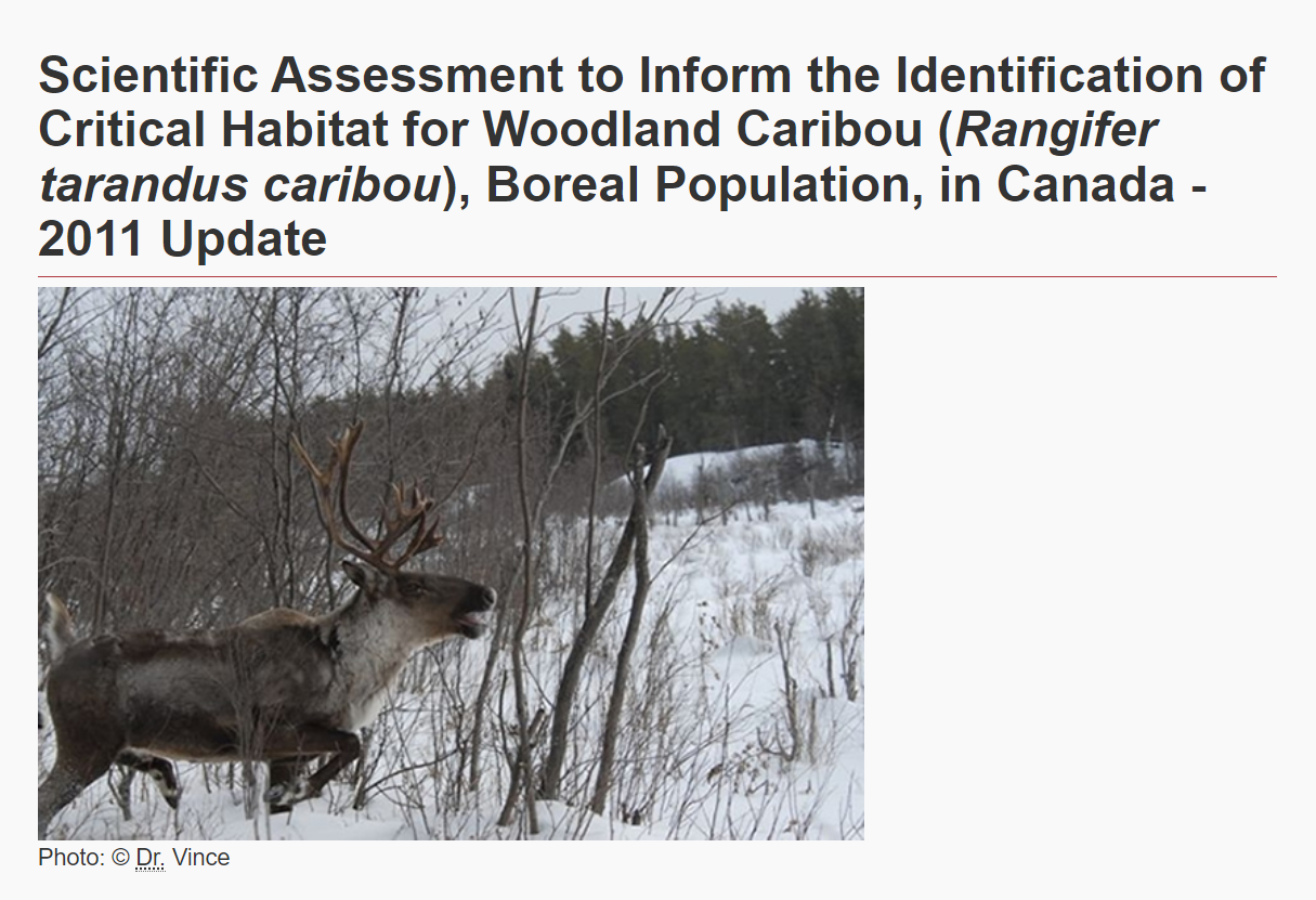
Environment and Climate Change Canada
The Woodland Caribou ( Rangifer tarandus caribou), Boreal Population was last assessed by the Committee on the Status of Endangered Wildlife in Canada as Threatened (COSEWIC 2002), and listed under...
Resource
Understanding how populations are structured and how they use natural and anthropogenic spaces is essential for effective wildlife management. A total of 510 barren-ground ( Rangifer tarandus...
Resource
Authors
Jahan Kariyeva
Mike Watmough
Lyle Boychuk
Matthew Wilson
Nadia Rochdi
Bob Sleep
Robert Albricht
Johanna Weston
The key outcome of the workshop was the creation of a vision statement to guide leadership and action for an optimal provincial scale wetland inventory.