Land Management Search Results
Resource
Authors
Cole Burton
Christopher Beirne
Catherine Sun
Erin Tattersall
Joanna Burgar
Jason Fisher
This project has clearly demonstrated the utility of camera trap surveys for monitoring restoration effectiveness in boreal environments. The cameras facilitated the collection of longitudinal data on...
Resource
Authors
Melanie Dickie
Robert Serrouya
Scott McNay
Stan Boutin
Predation by grey wolves Canis lupus has been identified as an important cause of boreal woodland caribou Rangifer tarandus caribou mortality, and it has been hypothesized that wolf use of human...
Resource
Authors
Corey Scobie
Alan Marsh
Ryan Fisher
Erin Bayne
Troy Wellicome
Petroleum development has occurred at a rapid pace on the grasslands of Alberta and Saskatchewan. To avoid potential impacts of development on burrowing owls, federal and provincial governments...
Resource
Authors
Nadia Rochdi
J. Zhang
Karl Staenz
X. Yang
D. Rolfson
J. Banting
C. King
R. Doherty
Scope of the project is to develop a geomatics-based monitoring system to support the Government of Alberta’s efforts for monitoring reclamation success. Software will support decision making process
Resource
Authors
Cassidy van Rensen
Scott Nielsena
Barry White
Tim Vinge
Victor Lieffers
Mapping of oil reserves involves the use of seismic lines (linear disturbances) to determine both their location and extent. Conventional clearing techniques for seismic assessment have left a legacy...
Resource
Resource Date:
September
2017
Rapid landscape alteration associated with human activity is currently challenging the evolved dynamical stability of many predator–prey systems by forcing species to behaviourally respond to novel...
Resource
Authors
Richard Johnson
P. Bork
E.A.D. Allen
W.H. James
L. Koverny
The experiments detailed in this report show that it was possible to increase the solids content of sludge to 50% solids by adding three parts sand (tailings sand) to one part sludge.
Resource
Mapping of oil reserves involves the use of seismic lines (linear disturbances) to determine size of reserves. These linear disturbances fragment forests and in many cases fail to regenerate trees...
Resource
Authors
Alberta Biodiversity Monitoring Institute
Resource Date:
January
2020
Linear features, including seismic lines, pipelines, transmission lines, roads, railways, and trails are pervasive in Alberta’s boreal forest and have been implicated as a primary factor leading to...
Resource
Authors
Anne McIntosh
Bonnie Drozdowski
Dani Degenhardt
Chris Powter
Christina Small
John Begg
Dan Farr
Arnold Janz
Randi Lupardus
Delinda Ryerson
Jim Schieck
Scientifically robust monitoring protocol to enable consistent assessment of ecological recovery of physical, chemical, and biological indicators at certified reclaimed well pads on grasslands.
Resource
Authors
Anne Naeth
Albert Lees
Jeanie Bietz
B.D. Irving
Al Fedkenheuer
Compare vegetative productivity, plant species composition and animal utilization on pipeline right-of-way to that of the adjacent native grassland. Field assessments were conducted over 4 years
Resource
Authors
Terry Macyk
Martin Fung
Ron Pauls
Syncrude Canada Ltd. produces 200,000 barrels of synthetic crude oil per day from its oil sands surface mining operations located 50 km north of Fort McMurray, Alberta. The three major types of...
Resource
This thesis investigates the effectiveness of machine learning algorithms for automatic detection of coniferous seedling data along Boreal seismic lines. In order to obtain a survival assessment and...
Resource
Authors
Anne Naeth
Donna White
David Chanasyk
Terry Macyk
Chris Powter
Don Thacker
To provide coordinated direction for reclamation research in Alberta, the need to review the current understanding and the role of soil physical properties in soil disturbance related activities was...
Resource
Authors
Pedocan Land Evaluation Ltd.
Part 1 of this manual is a background and explanatory section that describes the terminology used in soil surveys and presents the assumptions and conventions upon which the interpretations are based
Resource
Authors
Pedocan Land Evaluation Ltd.
Part 2 presents typical data and interpretations for each soil series in Alberta. The interpretations were made by applying the guidelines in Part 1, and checking the results against experience
Resource
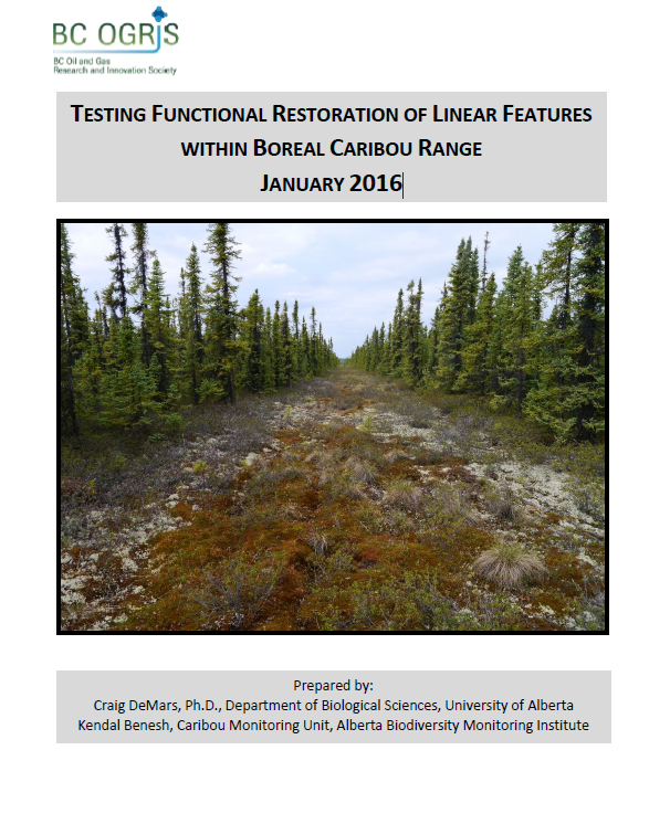
Authors
Craig DeMars
Kendal Benesh
The boreal ecotype of woodland caribou ( Rangifer tarandus caribou) is provincially Red-listed in British Columbia and federally listed as Threatened. Population declines of boreal caribou have been...
Resource
UAV-based remote sensing as a method for monitoring well pad recovery is determined to be feasible from a technical and field perspective.
Resource
Authors
Alberta Biodiversity Monitoring Institute
This report presents data on several indicators of environmental health for the Kakwa River Project area where ARC Resources operates in northwestern Alberta. The Kakwa River Project area covers...
Resource
Authors
Karine Pigeon
Meghan Anderson
Doug MacNearney
Jerome Cranston
Gordon Stenhouse
Laura Finnegan
This resource is available on an external database and may require a paid subscription to access it. It is included on the CCLM to support our goal of capturing and sharing the breadth of all...