Land Management Search Results
Resource
Authors
Zhan Li
Joanne White
Michael Wulder
Txomin Hermosilla
Andrew Davidson
Alexis Comber
Large-area land cover maps are produced to satisfy different information needs. Land cover maps having partial or complete spatial and/or temporal overlap, different legends, and varying accuracies...
Resource
Authors
Camile Sothe
Alemu Gonsamo
Joyce Arabian
James Snider
Resource Date:
August
2021
Canada has extensive forests and peatlands that play key roles in global carbon cycle. Canadian soils and peatlands are assumed to store approximately 20% of the world’s soil carbon stock. However...
Resource
From 1981 to 1984, nineteen experimental plantations were established on a range of eight typical reforested sectors in seven regions of Quebec. Included in the experiments, which took place during...
Resource
Authors
Boreal Avian Modelling Project
Bioclimatic niche models of current avian distribution and density for 80 boreal-breeding songbird species are mapped based on present counts and climate change models
Resource
Resource Date:
March
2022
In the discontinuous permafrost zone, thermokarst lakes and thermal erosion are widespread and common permafrost thaw-related phenomena. Thermokarst features are indicative of thaw sensitive...
Resource
Authors
Martin Queinnec
Nicholas Coops
Joanne White
Verena Griess
Naomi Schwartz
Grant McCartney
Airborne light detection and ranging (LiDAR) data are increasingly used to inform sustainable forest management practices. Information about species composition is needed for a range of applications...
Resource
White spruce ( Picea glauca [Moench] Voss) seedlings were operationally outplanted in May 1993 on a boreal mixedwood site in Biggs Township, Ontario. A factorial randomized block design with four...
Resource
Authors
Mighty Peace Watershed Alliance
The Mighty Peace Watershed Alliance (MPWA) supports the three goals of Alberta’s Water for Life Strategy: safe secure drinking water, healthy aquatic ecosystems, and reliable, quality water supplies...
Resource
Authors
Jacques Régnière
Lukas Seehausen
Véronique Martel
Despite their importance as mortality factors of many insects, the detailed biology and ecology of parasitoids often remain unknown. To gain insights into the spatiotemporal biology of insect...
Resource
Eleven plantations of each of jack pine ( Pinus banksiana Lamb.) and black spruce ( Picea mariana [Mill.] B.S.P.) were established with bareroot stock during a 3-year period beginning in 1980 on sites...
Resource
Authors
Daniel Fortin
Pietro-Luciano Buono
André Fortin
Nicolas Courbin
Christian Gingras
Paul Moorcroft
Réhaume Courtois
Claude Dussault
Associate Editor: Wolf Mooij
Editor: Judith Bronstein
This resource is available on an external database and may require a paid subscription to access it. It is included on the CCLM to support our goal of capturing and sharing the breadth of all...
Resource
Resource Date:
September
2017
Rapid landscape alteration associated with human activity is currently challenging the evolved dynamical stability of many predator–prey systems by forcing species to behaviourally respond to novel...
Resource
From 1981 to 1984, nineteen experimental plantations were established on a range of eight typical reforested sectors in seven regions of Quebec. Included in the experiments, which took place during...
Resource
Authors
A. Wotherspoon
N. Thiffault
R.L. Bradley
Scarification is a mechanical site preparation technique designed to create microsites that will favor the growth of planted tree seedlings after clearcutting. However, the positive growth response of...
Resource
Authors
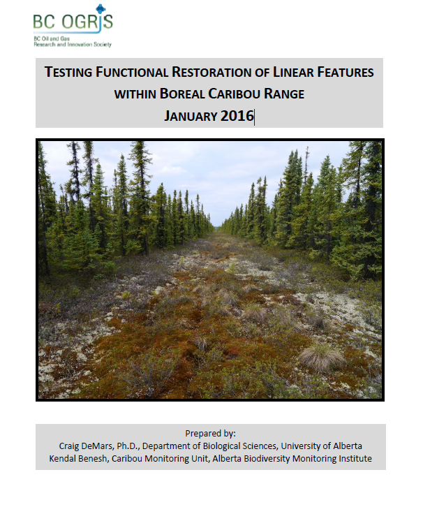
Craig DeMars
Kendal Benesh
The boreal ecotype of woodland caribou ( Rangifer tarandus caribou) is provincially Red-listed in British Columbia and federally listed as Threatened. Population declines of boreal caribou have been...
Resource
Authors
Rachel Hovel
Jeremy Brammer
Emma Hodgson
Amy Amos
Trevor Lantz
Chanda Turner
Tracey Proverbs
Sarah Lord
Rapid environmental change in the Arctic elicits numerous concerns for ecosystems, natural resources, and ways of life. Robust monitoring is essential to adaptation and management in light of these...
Resource
Authors
Guillermo Castilla
Ronald Hall
Rob Skakun
Michelle Filiatrault
André Beaudoin
Michael Gartrell
Lisa Smith
Kathleen Groenewegen
Chris Hopkinson
Jurjen van der Sluijs
Resource Date:
February
2022
Wall-to-wall 30 m raster maps of broad forest type, stand height, crown closure, stand volume, total volume, aboveground biomass, and stand age were created for a ~400,000 km2 area, validated with independent data, and generalized into a polygon GIS layer resembling a traditional FI map. The MVI project showed that a reasonably accurate FI map for large, remote, predominantly non-inventoried boreal regions can be obtained at a low cost by combining limited field data with remote sensing data from multiple sources.
Resource
Resource Date:
February
2012
This presentation describes the ways that LiDAR has helped some of the challenges previously encountered in data collection for the surficial geology mapping program.