Land Management Search Results
Resource
Authors
Roger Whitehead
George Harper
In 1986, a field trial was established to test options for brushing young, shrub-dominated Engelmann spruce plantations in the moist warm Interior Cedar Hemlock biogeoclimatic subzone of British...
Resource
Authors
Alberta Biodiversity Monitoring Institute
As of 2015, 29.2% of Alberta is under human footprint, up from 25.7% in 1999—that’s an average increase of about 0.22%, or around 1450 km2 (560 sections) per year.
Resource
Vegetation workshop was held November 1979 to evaluate user needs for more detailed vegetation descriptions and maps and to review the results of the vegetation survey as a step towards meeting needs
Resource
Authors
R.B. Caton
C.S. Davis
Martin Davies
D.L.M. Stevens
Ron Wallace
Tony Yarranton
Reid Crowther
The result of this review was a plan for a five-year biophysical monitoring program to provide the necessary scientific and technical information upon which to base an effective regulatory approach.
Resource
Authors
Leila Taheriazad
Carlos Portillo-Quintero
Arturo Sanchez-Azofeifa
This report presents a comprehensive review of industrial applications of an emerging environmental monitoring technology called Wireless Sensor Networks (WSN) and a WSN installed at Coal Valley Mine
Resource
Authors
Olaf Niemann
Fabio Visintini
Changes observed in the foliage of trees killed by bark beetles are usually described in terms of stages that have been related to a specific timeframe. The “green attack” stage is the period of time...
Resource
No measureable air pollutant effect was observed on either vascular or lichen communities at any site even though significantly high tissue pollutant concentrations were documented within 10km of GCOS
Resource
Authors
M.S. Thompson
J. Crosby-Diewold
Relationship between aquatic macrophyte growth and habitat factors found in the AOSERP study area is outlined, as are some implications of aquatic macrophyte inventory for management and revegetation
Resource
Authors
Claudie Muller
Amila De Silva
Jeff Small
Mary Williamson
Xiaowa Wang
Adam Morris
Sharon Katz
Mary Gamberg
Derek Muir
The biomagnification behavior of perfluorinated carboxylates (PFCAs) and perfluorinated sulfonates (PFSAs) was studied in terrestrial food webs consisting of lichen and plants, caribou, and wolves...
Resource
Resource Date:
August
2021
With the support of Alberta Environment and Parks, the Alberta Biodiversity Monitoring Institute has become the trusted source for data about habitat, species, and the human footprint.
Resource
Authors
Alberta Biodiversity Monitoring Institute
In summer 2013 field crews spent five weeks sampling soil and vegetation indicators at 18 wellsites and adjacent reference sites in the Dry Mixedgrass subregion of Alberta
Resource
As caribou habitat restoration initiatives have become more widespread across Alberta in the last decade, key uncertainties have been recognized regarding what treatment types are appropriate for...
Resource
Authors
Ronnie Drever
Maria Strack
Kristy Burke
Learn more about the recent work of two renowned Canadian researchers and how their work has benefited from various collaborations and communication across diverse stakeholder groups
Resource
Authors
Chris Powter
Brent Scorfield
Brent Lakeman
Shane Patterson
The development of integrated geomatics and remote sensing technologies for environmental management holds promise to meet economic diversification and effective environmental management.
Resource
Authors
Roger Whitehead
F. Cortini
S.W. Taylor
A.F. Linnell Nemec
J.W. Goudie
J. Vallentgoed
K.R. Polsson
The Stony Lake trial was established in 1987 to benchmark growth performance of interior spruce ( Picea glauca [Moench] Voss x engelmannii Parry ex Engelm.) and lodgepole pine ( Pinus contorta Dougl...
Resource
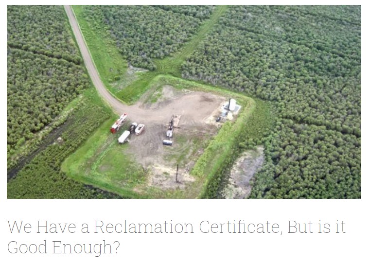
Long-term monitoring of some sites would ultimately be needed to show that recovering wellsites are on a trajectory that consistently leads to full recovery.
Resource
Authors
Roger DeAbreu
Shane Patterson
Todd Shipman
Chris Powter
NRCan pilot science projects have proven that Earth Observation can provide relevant and valuable information to inform and enhance monitoring and support regulatory frameworks
Resource
There was only very limited evidence of biological responses to increased pollutant content in spite of significantly higher pollutant levels in tissues close to existing industrial developments.
Resource
Authors
M.D. Thompson
M.C. Wride
M.E. Kirby
Classification system devised for mapping vegetation and surficial geology from 1:60,000 scale false colour infrared photographs; 1:50 000 base maps plus a vegetation and a surficial geology overlay
Resource
Ground surveys of vegetation and surficial geology generally confirmed that the classification systems used in the mapping accurately described and defined the ecological habitat features