Land Management Search Results
Resource
Authors
Millennium EMS Solutions Ltd.
The current document reports specifically on issues relating to the ecological direct contact exposure pathway (growth and reproduction of plants and soil invertebrates) in native grasslands areas of...
Resource
Authors
Millennium EMS Solutions Ltd.
The current document is focussed specifically on issues relating to the ecological direct contact exposure pathway (growth and reproduction of plants and soil invertebrates) in native grasslands areas...
Resource
It is generally recognized that plants are genetically adapted to the prevailing climate. Planting stock is often moved across environmental gradients with little knowledge of the ecological risks...
Resource
This thesis investigates the effectiveness of machine learning algorithms for automatic detection of coniferous seedling data along Boreal seismic lines. In order to obtain a survival assessment and...
Resource
Authors
Lisa Venier
John Pedlar
Kellina Higgins
Kevin Lawrence
Russ Walton
Yan Boulanger
Daniel McKenney
Conserving large intact forest landscapes (IFLs) is one forest management strategy to mitigate industrial impacts on the environment. Measuring the IFL inventory at national scales has also been...
Resource
Authors
Anne Naeth
Donna White
David Chanasyk
Terry Macyk
Chris Powter
Don Thacker
To provide coordinated direction for reclamation research in Alberta, the need to review the current understanding and the role of soil physical properties in soil disturbance related activities was...
Resource
Authors
Pedocan Land Evaluation Ltd.
Part 1 of this manual is a background and explanatory section that describes the terminology used in soil surveys and presents the assumptions and conventions upon which the interpretations are based
Resource
Authors
Pedocan Land Evaluation Ltd.
Part 2 presents typical data and interpretations for each soil series in Alberta. The interpretations were made by applying the guidelines in Part 1, and checking the results against experience
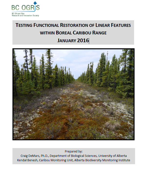
Resource
Authors
Craig DeMars
Kendal Benesh
The boreal ecotype of woodland caribou ( Rangifer tarandus caribou) is provincially Red-listed in British Columbia and federally listed as Threatened. Population declines of boreal caribou have been...
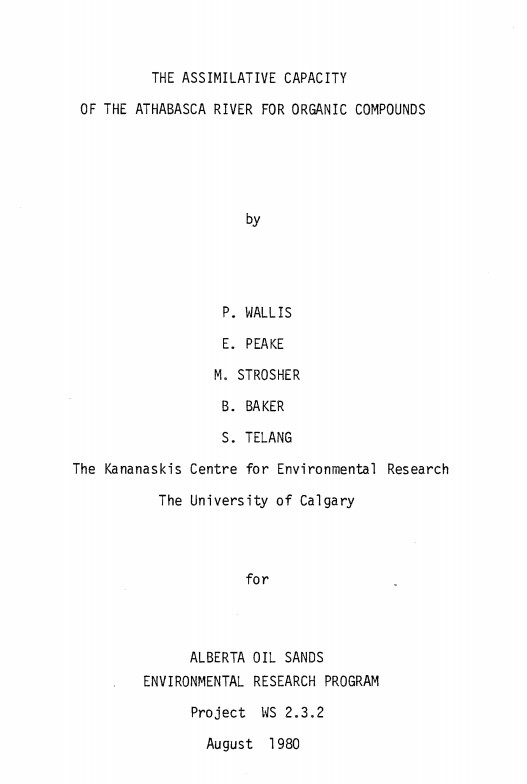
Resource
Authors
P. Wallis
Eric Peake
Melvin Strosher
B. Baker
S. Telang
Provide a problem analysis of the goal to determine the assimilative capacity of the Athabasca River with special regard to organics
Resource
Authors
Ginny Marshall
Dan Thompson
Kerry Anderson
Brian Simpson
Current methods of predicting fire spread in Canadian forests are suited to large wildfires that spread through natural forests. Recently, the use of mechanical and thinning treatments of forests in...
Resource
Authors
Guillermo Castilla
Ronald Hall
Rob Skakun
Michelle Filiatrault
André Beaudoin
Michael Gartrell
Lisa Smith
Kathleen Groenewegen
Chris Hopkinson
Jurjen van der Sluijs
Resource Date:
February
2022
Wall-to-wall 30 m raster maps of broad forest type, stand height, crown closure, stand volume, total volume, aboveground biomass, and stand age were created for a ~400,000 km2 area, validated with independent data, and generalized into a polygon GIS layer resembling a traditional FI map. The MVI project showed that a reasonably accurate FI map for large, remote, predominantly non-inventoried boreal regions can be obtained at a low cost by combining limited field data with remote sensing data from multiple sources.
Resource
Authors
Majid Iravani
Monica Kohler
Shannon White
The results showed a pronounced variation in the historic supply of soil organic carbon and aboveground biomass in the watershed. Land management resulted in a diverse range of gains or losses.
Resource
Authors
Paul Pickell
David Andison
Nicholas Coops
Sarah Gergel
Peter Marshall
Resource development can have significant consequences for the distribution of vegetation cover and for species persistence. Modelling changes to anthropogenic disturbance regimes over time can...
Resource
Authors
Cesar Estevo
Diana Stralberg
Scott Nielsen
Erin Bayne
Climate change refugia are areas that are relatively buffered from contemporary climate change and may be important safe havens for wildlife and plants under anthropogenic climate change. Topographic...
Resource
Authors
Karine Pigeon
Meghan Anderson
Doug MacNearney
Jerome Cranston
Gordon Stenhouse
Laura Finnegan
This resource is available on an external database and may require a paid subscription to access it. It is included on the CCLM to support our goal of capturing and sharing the breadth of all...
Resource
Recent decline of trembling aspen ( Populus tremuloides Michx.) near St. Walburg, Saskatchewan, prompted a study to document the onset and progress of aspen decline and to examine how past climate...
Resource
Authors
K.A. Baldwin
L. Allen
S. Basquill
K. Chapman
D. Downing
N. Flynn
W. Mackenzie
M. Major
W.J. Meades
D. Meidinger
C. Morneau
J.-P. Saucier
J. Thorpe
Vegetation Zones of Canada: a Biogeoclimatic Perspective maps Canadian geography in relation to regional climate, as indicated by vegetation patterns. Compared to previous similar national-scale...
Resource
As a consequence of climate change, current landscape patterns are unlikely to persist in the future. The types of ecological changes expected to occur as the climate warms are described
Resource
The presentation covers the use of remote sensing in assessing biodiversity and how using covariate data can improve on the interpretation of results