Land Management Search Results
Resource
This project describes a new method for sampling secondary structure in beetle-attacked pine stands and reports on a test of its accuracy. The method consists of interpreting aerial photos taken when...
Resource
Resource Date:
September
2017
Rapid landscape alteration associated with human activity is currently challenging the evolved dynamical stability of many predator–prey systems by forcing species to behaviourally respond to novel...
Resource
Authors
Richard Johnson
P. Bork
E.A.D. Allen
W.H. James
L. Koverny
The experiments detailed in this report show that it was possible to increase the solids content of sludge to 50% solids by adding three parts sand (tailings sand) to one part sludge.
Resource
Authors
G.R. Hillman
J.D. Johnson
S.K. Takyi
Three experimental forest drainage sites were established in Alberta’s boreal forest to determine the effects of lowered water tables on soils, local hydrology, ground vegetation composition and tree...
Resource
Authors
Stephen Moran
Terry Macyk
Mark Trudell
Margot Pigot
In 1985, a one hectare pond developed in the upland reclaimed landscape at Vesta Mine in an area where extensive ponding had not previously been observed. Because of the thickness of the spoil, about...
Resource
Authors
Stephen Moran
Mark Trudell
Terry Macyk
Daphne Cheel
The first phase of the study, which was completed in 1984, included characterization and instrumentation of two study areas: the Battle River study area, which included Diplomat, Vesta and Paintearth...
Resource
Authors
Canadian Conservation and Land Management Network
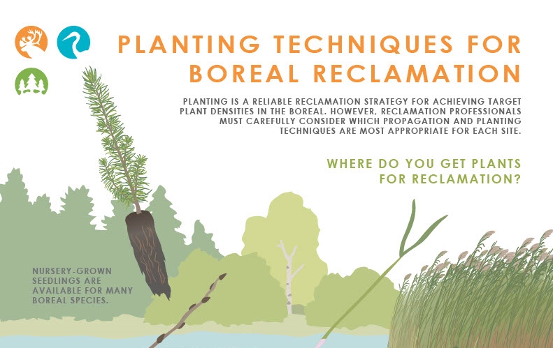
This infographic synthesizes knowledge from a variety of resources on the Canadian and Conservation Land Management (CCLM) Knowledge Portal. It highlights some important considerations for managers...
Resource
In 1986, a field trial was established near Second Falls, N.B. to assess the potential of using pulpmill wood waste as a soil ameliorant for land reclamation. Three types of wood waste were spread on...
Resource
Authors
Paul Jefferson
Paul McCaughey
Ken May
Jay Woosaree
Linden McFarlane
The utilization of native grass species for potential biomass feedstocks of the emerging ethanol industry requires more information about their cellulose and hemicellulose concentration. Ten native...
Resource
Mapping of oil reserves involves the use of seismic lines (linear disturbances) to determine size of reserves. These linear disturbances fragment forests and in many cases fail to regenerate trees...
Resource
From 1981 to 1984, nineteen experimental plantations were established on a range of eight typical reforested sectors in seven regions of Quebec. Included in the experiments, which took place during...
Resource
Authors
Mike Ostafichuk
George LaRoi
Of the 16 permanent plots established in 1981, four of these, Nos. 1,6,11, and 13 were destroyed by fire shortly after they were surveyed. In 1982, four new plots were established to replace the...
Resource
Authors
Amy Nixon
Ryan Fisher
Diana Stralberg
Erin Bayne
Climate suitability projections, and current distribution of grassland and cropland habitats in Alberta suggest that some climate-mediated range expansion of grassland songbirds is possible
Resource
Authors
Anne McIntosh
Bonnie Drozdowski
Dani Degenhardt
Chris Powter
Christina Small
John Begg
Dan Farr
Arnold Janz
Randi Lupardus
Delinda Ryerson
Jim Schieck
Scientifically robust monitoring protocol to enable consistent assessment of ecological recovery of physical, chemical, and biological indicators at certified reclaimed well pads on grasslands.
Resource
Authors
Anne Naeth
Albert Lees
Jeanie Bietz
B.D. Irving
Al Fedkenheuer
Compare vegetative productivity, plant species composition and animal utilization on pipeline right-of-way to that of the adjacent native grassland. Field assessments were conducted over 4 years
Resource
Authors
Virgil Hawkes
Gillian Donald
A long-term plot network would allow the monitoring data to describe the ecological condition of the reclaimed lands and define appropriate management strategies for achieving revegetation goals
Resource
Authors
Terry Macyk
Martin Fung
Ron Pauls
Syncrude Canada Ltd. produces 200,000 barrels of synthetic crude oil per day from its oil sands surface mining operations located 50 km north of Fort McMurray, Alberta. The three major types of...
Resource
Authors
Terry Macyk
Vern Albush
O. Terry
In 1992 the Alberta Research Council initiated a reclamation study at the Smoky River Coal Limited No. 12 Mine South area located northwest of Grande Cache, Alberta. The objective of the research is...
Resource
Authors
Natalie Sánchez
Luis Sandoval
Richard Hedley
Colleen St. Clair
Erin Bayne
Anthropogenic noise can create an acoustic environment detrimental for animals that communicate using acoustic signals. Currently, most studies of noise and wildlife come from traffic noise in cities...
Resource
Authors
Mar Martinez
Gary Borstad
Leslie Brown
Kaan Ersahin
Michael Henley
Monitoring of reclaimed sites is a complex, interdisciplinary undertaking, especially in large, disturbed areas with difficult access. In that context, remote sensing is a unique and valuable tool...