Land Management Search Results
Resource
Authors
Ann Smreciu
Kimberly Gould
This study evaluated the effect of sowing season (spring versus fall) and propagule type (clean seeds versus whole fruit) on emergence of 41 species on oil sands mine reclamation sites.
Resource
Authors
Boreal Avian Modelling Project
Bioclimatic niche models of current avian distribution and density for 80 boreal-breeding songbird species are mapped based on present counts and climate change models
Resource
Authors
Cassidy van Rensen
Scott Nielsena
Barry White
Tim Vinge
Victor Lieffers
Mapping of oil reserves involves the use of seismic lines (linear disturbances) to determine both their location and extent. Conventional clearing techniques for seismic assessment have left a legacy...
Resource
The goal of the program is to develop a set of spatially explicit models that can be used to map the supply and economic value ecosystems goods and services
Resource
Authors
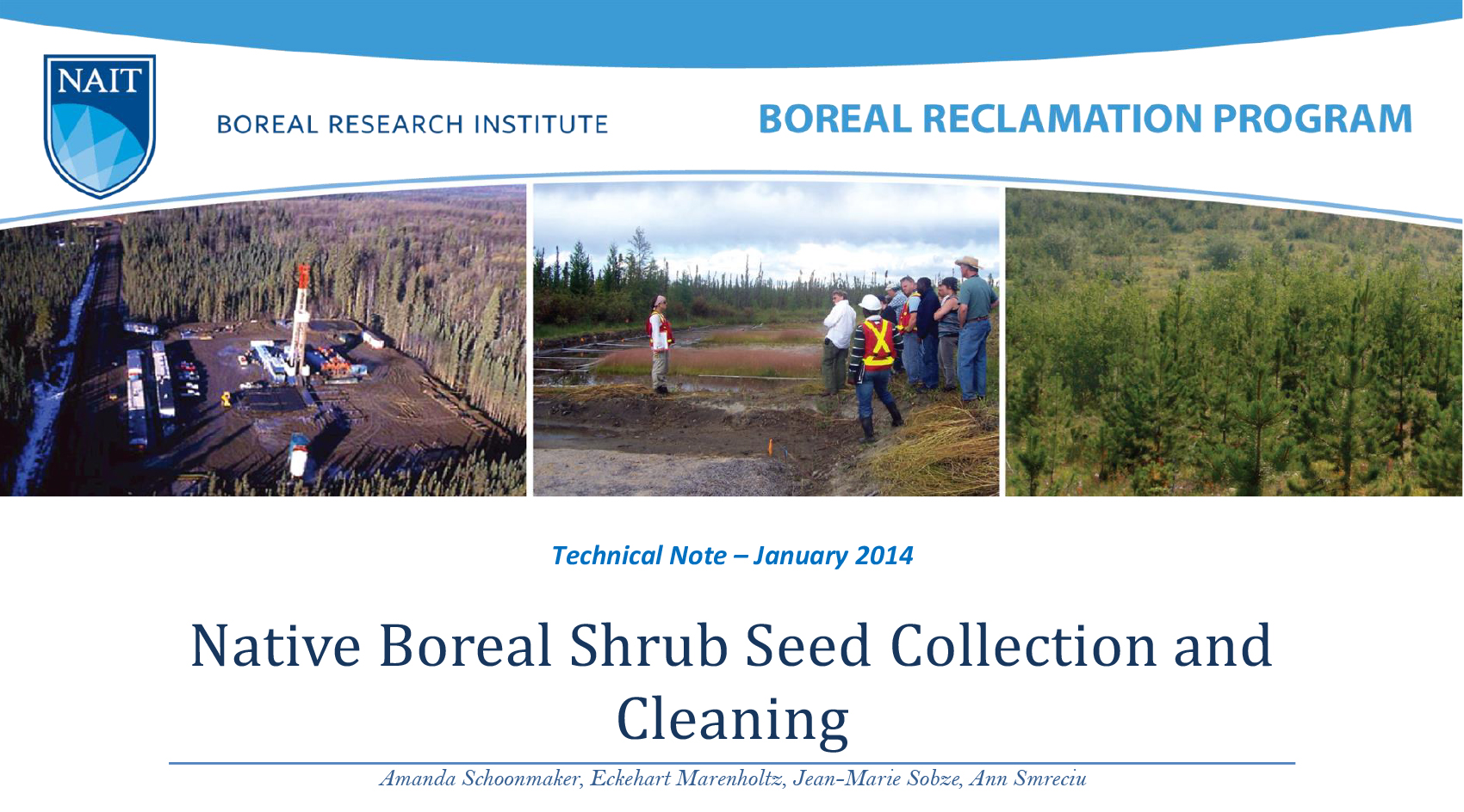
Amanda Schoonmaker
Eckehart Marenholtz
Jean-Marie Sobze
Ann Smreciu
Alberta’s forest land reclamation criteria require the establishment of multi-strata vegetation that includes a shrub layer. Establishment of a shrub layer requires the acquisition of seed from a...
Resource
Authors
Shauna-Lee Chai
Amy Nixon
Scott Nielsen
Assessed 16 potentially new invasive plant species not yet present in Alberta for their invasiveness and climate change-related risk
Resource
The presentation covers the use of remote sensing in assessing biodiversity and how using covariate data can improve on the interpretation of results
Resource
This presentation provides insight and understanding to how LiDAR data is used to produce digital elevation models and vegetation maps.
Resource
The presentation describes how multi-temporal remote sensing offers a better understanding of landscape changes over time in comparison to the more traditional two-date, before and after comparison.
Resource
Authors
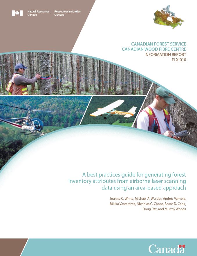
Joanne White
Michael Wulder
Andrés Varhola
Mikko Vastaranta
Nicholas Coops
Bruce Cook
Doug Pitt
Murray Woods
A best practice guide brings together state-of-the-art approaches, methods, and data to provide non-experts more detailed information about complex topics. With this guide, our goal is to inform and...
Resource
The Natural Regions and Subregions classification represents the state-of-the-art in ecological land classification in Alberta. This classification provides a valuable baseline for resource management...
Resource
The Galena Hill Ecosystem Map (GHEM) was initially developed to provide information about existing plant communities and their growth conditions to guide upcoming reclamation efforts at the historical...
Resource
FPInnovations launched a multi-year study to determine whether a less-flammable, herbaceous species could replace the flammable grasses that typically colonize linear ROWs
Resource
Authors
Mar Martinez
Gary Borstad
Leslie Brown
Kaan Ersahin
Michael Henley
Monitoring of reclaimed sites is a complex, interdisciplinary undertaking, especially in large, disturbed areas with difficult access. In that context, remote sensing is a unique and valuable tool...
Resource
Oil sands industry case study evaluated the economic and ecological performance of alternative offset networks targeting either ecologically equivalent areas or regional conservation priorities
Resource
I will demonstrate how data from ABMI can be combined with designed research studies to answer questions at spatial scales and temporal extents that are not possible for a single researcher to achieve
Resource
Authors
Jay Woosaree
Bruce Anderson
Reclamation in the oil sands in Alberta is a high priority and can be challenging. Suncor Energy is in the process of reclaiming one of its consolidated tailings (CT) ponds (Pond 5). The CT is being...
Resource
Authors
NAIT Centre for Boreal Research
This publication provides a valuable guide for reclamation practitioners and technicians through the documents that regulate plant deployment for reclamation in northwestern Alberta and to provide...
Resource
Winter planting of frozen black spruce seedlings was studied in a northern Alberta wetland supported by the Oil Sand Leadership Initiative (OSLI) Land Stewardship Working Group, comprised of...
Resource
Resource Date:
February
2012
This presentation describes the ways that LiDAR has helped some of the challenges previously encountered in data collection for the surficial geology mapping program.