Wetlands Knowledge Search Results
Resource
Resource Date:
September
2017
Rapid landscape alteration associated with human activity is currently challenging the evolved dynamical stability of many predator–prey systems by forcing species to behaviourally respond to novel...
Resource
Authors
Sarah Bauduin
Eliot McIntire
Martin-Hugues St-Laurent
Steve Cumming
Resource Date:
September
2016
Sparse data sets, such as VHF collar locations, can be used to fit movement models whose parameters could not be estimated directly from the data.
Resource
Authors
Alberta Biodiversity Monitoring Institute
Caribou Monitoring Unit
To address the issue of increased caribou predation, the ABMI’s Caribou Monitoring Unit (CMU) is currently involved in testing an experimental caribou recovery project, south of Fort McMurray. The CMU...
Resource
Authors
Anna Maria Roos
Mary Gamberg
Derek Muir
Anna Kärrman
Pernilla Carlsson
Christine Cuyler
Ylva Lind
Rossana Bossi
Frank Rigét
Resource Date:
November
2021
Livers of caribou and reindeer (Rangifer tarandus) from Canada (n = 146), Greenland (n = 30), Svalbard (n = 7), and Sweden (n = 60) were analyzed for concentrations of eight perfluoroalkyl carboxylic...
Resource
Authors
Nobuya Suzuki
Katherine Parker
We used the Muskwa-Kechika Management Area in northeast British Columbia, Canada as a case study to determine potential conflicts between future resource development and high-value habitats of large...
Resource
Authors
Matthew Mumma
Michael Gillingham
Katherine Parker
Chris Johnson
Megan Watters
Resource Date:
November
2018
This resource is available on an external database and may require a paid subscription to access it. It is included on the CCLM to support our goal of capturing and sharing the breadth of all...
Resource
Authors
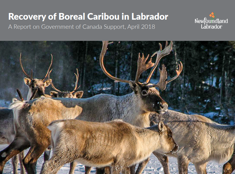
Government of Newfoundland and Labrador Fisheries and Land Resources
Resource Date:
April
2018
Newfoundland and Labrador is home to several herds of caribou; the island population, the migratory George River caribou (northern Labrador), and perhaps the most sensitive, the boreal herds of...
Resource
Authors
Conference of Management Authorities
The purpose of this recovery strategy is to provide an action-oriented planning tool that identifies how the conservation and recovery of boreal caribou ( Rangifer tarandus caribou, woodland caribou...
Resource
ALCES models future changes based on known environment and landscape cover, an understanding of historic changes, and projected indicators of change to the environment, human footprint and landscape.
Resource
Sahtú Environmental Research and Monitoring (ERM) Forum meeting presentation of the Sahtu Regional Environmental Decision Support Tool Set.
Resource
Authors
Craig DeMars
Greg Breed
Jonathan Potts
Stan Boutin
This resource is available on an external database and may require a paid subscription to access it. It is included on the CCLM to support our goal of capturing and sharing the breadth of all...
Resource
Visit the species profile for Woodland Caribou (Boreal population) on the Government of Canada Species at Risk Registry HERE
Resource
Authors
Wenjun Chen
S. Leblanc
C. Prevost
J. Lovitt
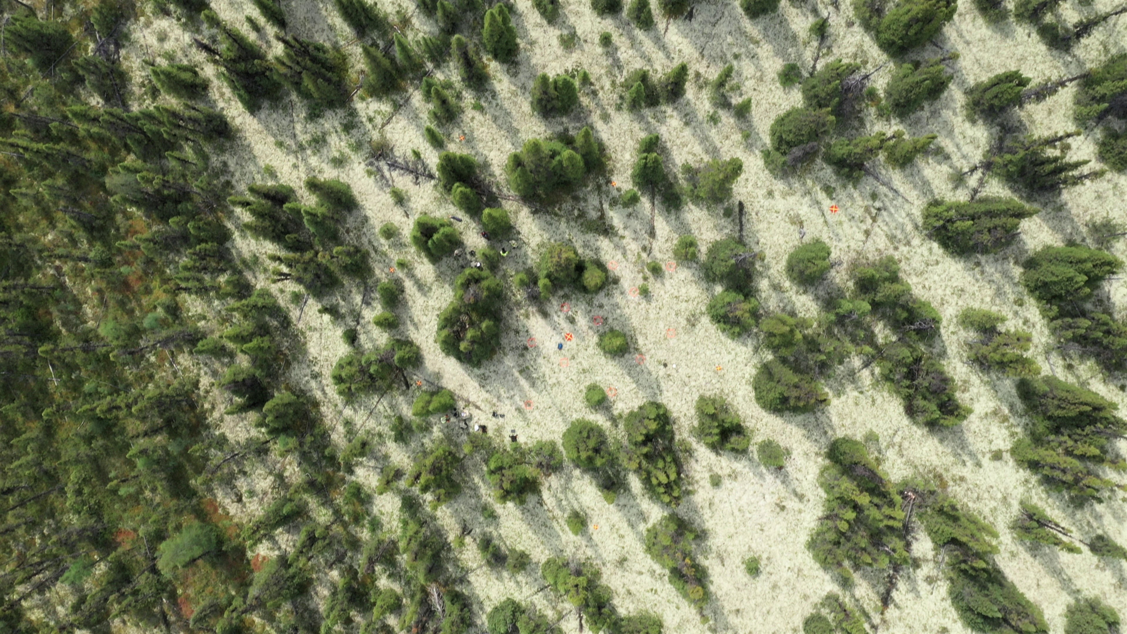
This report summarizes the work that was completed by NRCan personnel and project partners at eleven study sites within Quebec and Labrador between July 22 and August 2, 2019. This work was conducted...
Resource
Authors
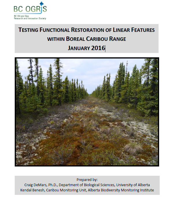
Craig DeMars
Kendal Benesh
The boreal ecotype of woodland caribou ( Rangifer tarandus caribou) is provincially Red-listed in British Columbia and federally listed as Threatened. Population declines of boreal caribou have been...
Resource
Authors
Guillermo Castilla
Ronald Hall
Rob Skakun
Michelle Filiatrault
André Beaudoin
Michael Gartrell
Lisa Smith
Kathleen Groenewegen
Chris Hopkinson
Jurjen van der Sluijs
Resource Date:
February
2022
Wall-to-wall 30 m raster maps of broad forest type, stand height, crown closure, stand volume, total volume, aboveground biomass, and stand age were created for a ~400,000 km2 area, validated with independent data, and generalized into a polygon GIS layer resembling a traditional FI map. The MVI project showed that a reasonably accurate FI map for large, remote, predominantly non-inventoried boreal regions can be obtained at a low cost by combining limited field data with remote sensing data from multiple sources.
Resource
Authors
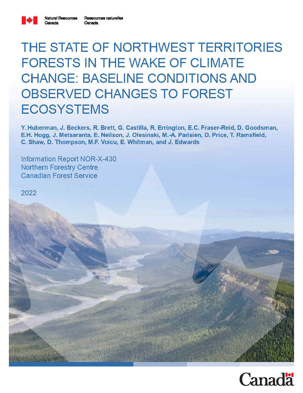
Y. Huberman
J. Beckers
R. Brett
G. Castilla
R. Errington
E.C. Fraser-Reid
D. Goodsman
E.H. Hogg
J. Metsaranta
E. Neilson
J. Olesinski
M.-A. Parisien
D. Price
T. Ramsfield
C. Shaw
D. Thompson
M.F. Voicu
E. Whitman
J. Edwards
The climate in Canada’s north has changed over the past 70 years. Indeed, mean annual temperature in the Northwest Territories has increased by 2°C to 4°C since record keeping began in 1950. Annual...
Resource
Authors
Angelo Filicetti
Scott Nielsen
This resource is available on an external database and may require a paid subscription to access it. It is included on the CCLM to support our goal of capturing and sharing the breadth of all...
Resource
Understanding how populations are structured and how they use natural and anthropogenic spaces is essential for effective wildlife management. A total of 510 barren-ground ( Rangifer tarandus...
Resource
Authors
Mathieu Leblond
Christian Dussault
Jean-Pierre Ouellet
Resource Date:
September
2012
At the 14th North American Caribou Workshop, held in September 2012, Mathieu Leblond presented on research related to caribou and road avoidance behaviour.
Resource
Authors
Nicholas Larter
Danny Allaire
At the 14th North American Caribou Workshop held in September 2012, Nick Larter presented on research related to identifying calving events amongst the boreal caribou in the Dehcho region.