Wetlands Knowledge Search Results
Resource
Authors
Daphne Cheel
Stephen Moran
Mark Trudell
Don Thacker
Terry Macyk
Report synthesizes and summarizes 36 RRTAC reports to provide the user with a unified source of information on land and groundwater reclamation research in the plains of Alberta
Resource
Resource Date:
August
2021
With the support of Alberta Environment and Parks, the Alberta Biodiversity Monitoring Institute has become the trusted source for data about habitat, species, and the human footprint.
Resource
Authors
Alberta Biodiversity Monitoring Institute
In summer 2013 field crews spent five weeks sampling soil and vegetation indicators at 18 wellsites and adjacent reference sites in the Dry Mixedgrass subregion of Alberta
Resource
Authors
Chris Powter
Brent Scorfield
Brent Lakeman
Shane Patterson
The development of integrated geomatics and remote sensing technologies for environmental management holds promise to meet economic diversification and effective environmental management.
Resource
Authors
Lauren Thompson
McKenzie Kuhn
Johanna Winder
Lucas Braga
Ryan Hutchins
Andrew Tanentzap
Vincent St. Louis
David Olefeldt
Resource Date:
January
2023
Permafrost thaw may increase the production of neurotoxic methylmercury (MeHg) in northern peatlands, but the downstream delivery of MeHg is uncertain. We quantified total mercury (THg) and MeHg...
Resource
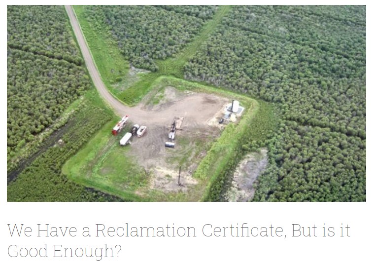
Long-term monitoring of some sites would ultimately be needed to show that recovering wellsites are on a trajectory that consistently leads to full recovery.
Resource
Authors
Alberta Biodiversity Monitoring Institute
Select appropriate vegetation, soil, and habitat indicators for a long-term reclamation monitoring program and provide sampling protocols for the selected indicators.
Resource
Our statistical design and the hands on learning experience we gained in the field can be applied when implementing the long-term monitoring program for certified wellsites.
Resource
Authors
Alberta Biodiversity Monitoring Institute
Three workshops were held to examine a suite of vegetation, soil, and habitat indicators that could potentially be used to monitor recovery in a long-term reclamation monitoring program
Resource
Data show that for many vegetation and soil indicators, wellsite development impacts are long lasting and may remain for 30 years or more after reclamation.
Resource
Authors
ERMP Project Advisory Group
This report provides the monitoring protocols for cultivated land wellsites.
Resource
Authors
ERMP Project Advisory Group
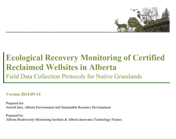
This report provides the monitoring protocols for grassland wellsites.
Resource
Authors
ERMP Project Advisory Group
This report describes several specialized monitoring techniques that were evaluated during the Ecological Recovery Monitoring Program Pilot.
Resource
Authors
Ruth Errington
Ellen Macdonald
Natalka Melnycky
Jagtar Bhatti
Climate warming in the North could lead to lichen decline within critical woodland caribou habitat. We used repeat measurements of sixty-nine plots over ten years (2007–2008 and 2017–2018) to assess...
Resource
Authors
Humaira Enayetullah
Laura Chasmer
Chris Hopkinson
Daniel Thompson
Danielle Cobbaert
Seismic lines are the dominant anthropogenic disturbance in the boreal forest of the Canadian province of Alberta, fragmenting over 1900 km 2 of peatland areas and accounting for more than 80% of all...
Resource
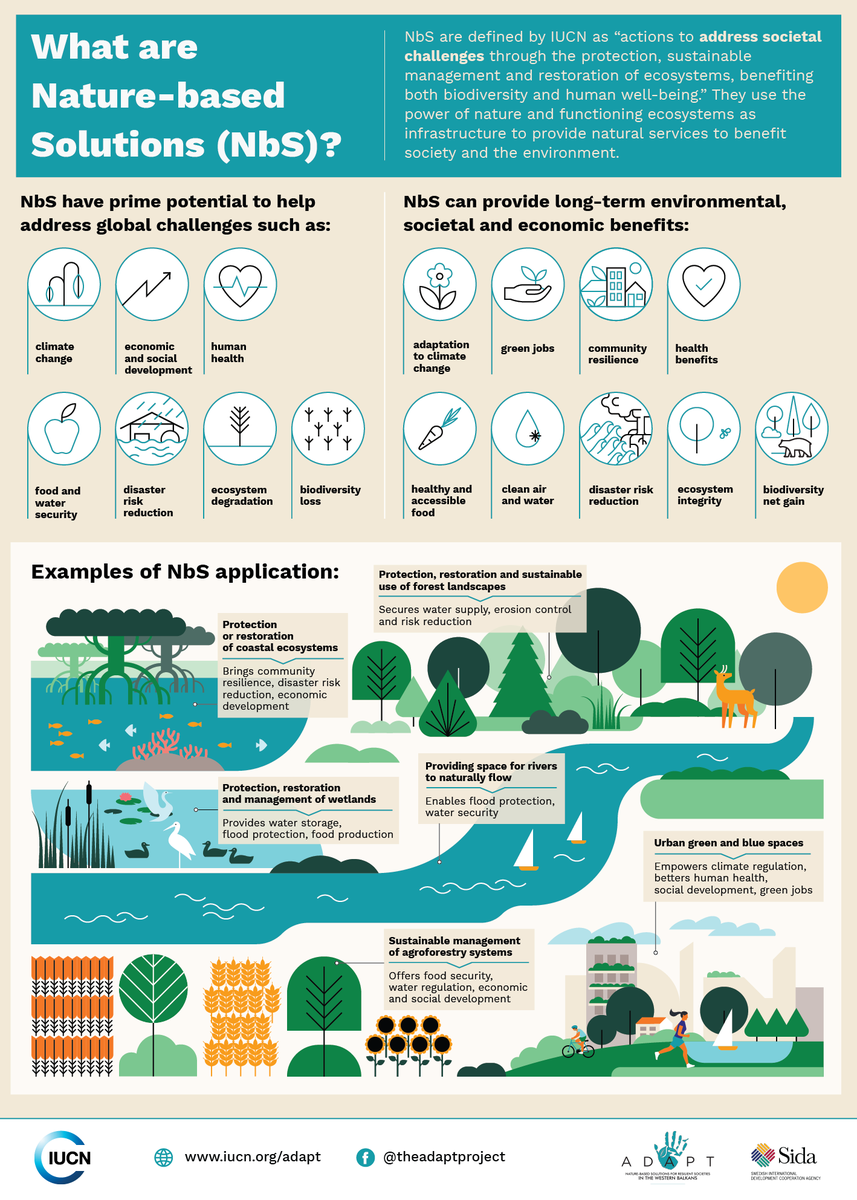
Nature-based Solutions leverage nature and the power of healthy ecosystems to protect people, optimise infrastructure and safeguard a stable and biodiverse future. Explore topics related to Nature...
Resource
Authors
Lorna Harris
David Olefeldt
Nicolas Pelletier
Christian Blodau
Klaus-Holger Knorr
Julie Talbot
Liam Heffernan
Merritt Turetsky
Resource Date:
August
2023
Rapid, ongoing permafrost thaw of peatlands in the discontinuous permafrost zone is exposing a globally significant store of soil carbon (C) to microbial processes. Mineralization and release of this...
Resource
Authors
Stephen Moran
Terry Macyk
Mark Trudell
Margot Pigot
In 1985, a one hectare pond developed in the upland reclaimed landscape at Vesta Mine in an area where extensive ponding had not previously been observed. Because of the thickness of the spoil, about...
Resource
Authors
Stephen Moran
Mark Trudell
Terry Macyk
Daphne Cheel
The first phase of the study, which was completed in 1984, included characterization and instrumentation of two study areas: the Battle River study area, which included Diplomat, Vesta and Paintearth...
Resource
Authors
Anne McIntosh
Bonnie Drozdowski
Dani Degenhardt
Chris Powter
Christina Small
John Begg
Dan Farr
Arnold Janz
Randi Lupardus
Delinda Ryerson
Jim Schieck
Scientifically robust monitoring protocol to enable consistent assessment of ecological recovery of physical, chemical, and biological indicators at certified reclaimed well pads on grasslands.