Wetlands Knowledge Search Results
Resource
Authors
Mir Mustafizur Rahman
Gregory McDermid
Maria Strack
Julie Lovitt
Resource Date:
October
2017
Groundwater level (GWL) and depth to water (DTW) are related metrics aimed at characterizing groundwater-table positions in peatlands, and two of the most common variables collected by researchers...
Resource
Authors
Alberta Biodiversity Monitoring Institute
We’re pleased to announce the release of the ABMI Alberta-wide Wetland Inventory—our most up-to-date and high-resolution wetland data yet.
Resource
Resource Date:
August
2021
With the support of Alberta Environment and Parks, the Alberta Biodiversity Monitoring Institute has become the trusted source for data about habitat, species, and the human footprint.
Resource
Authors
Ronnie Drever
Maria Strack
Kristy Burke
Learn more about the recent work of two renowned Canadian researchers and how their work has benefited from various collaborations and communication across diverse stakeholder groups
Resource
Authors
Lauren Thompson
McKenzie Kuhn
Johanna Winder
Lucas Braga
Ryan Hutchins
Andrew Tanentzap
Vincent St. Louis
David Olefeldt
Resource Date:
January
2023
Permafrost thaw may increase the production of neurotoxic methylmercury (MeHg) in northern peatlands, but the downstream delivery of MeHg is uncertain. We quantified total mercury (THg) and MeHg...
Resource
Authors
Greg McDermid
Julie Lovitt
Mustafizur Rahman
Maria Strack
Saru Saraswati
Bin Xu
This presentation discusses remote sensing to assess groundwater, microtopogpraphy and above-ground biomass, as well as wetland management. Presented at the NAIT 7th Seminar on Linear Disturbance...
Resource
Authors
Humaira Enayetullah
Laura Chasmer
Chris Hopkinson
Daniel Thompson
Danielle Cobbaert
Seismic lines are the dominant anthropogenic disturbance in the boreal forest of the Canadian province of Alberta, fragmenting over 1900 km 2 of peatland areas and accounting for more than 80% of all...
Resource
Authors
Sylvain Ménard
Marcel Darveau
Louis Imbeau
Forest inventory maps can be used to quantify the area of wetland habitats and to define homogeneous regions in this regard, and therefore provide a functional tool for coarse-scale wetland management
Resource
Authors
Terrance Power
Robert Cameron
Thomas Neily
Brad Toms
Resource Date:
April
2018
This resource is available on an external database and may require a paid subscription to access it. It is included on the CCLM to support our goal of capturing and sharing the breadth of all...
Resource
Authors
Sini-Selina Salko
Jussi Juola
Iuliia Burdun
Harri Vasander
Miina Rautiainen
Boreal peatlands store ~25 % of global soil organic carbon and host many endangered species; however, they face degradation due to climate change and anthropogenic drainage. In boreal peatlands...
Resource
Authors
Camile Sothe
Alemu Gonsamo
Joyce Arabian
James Snider
Resource Date:
August
2021
Canada has extensive forests and peatlands that play key roles in global carbon cycle. Canadian soils and peatlands are assumed to store approximately 20% of the world’s soil carbon stock. However...
Resource
Authors
Boreal Avian Modelling Project
Bioclimatic niche models of current avian distribution and density for 80 boreal-breeding songbird species are mapped based on present counts and climate change models
Resource
Authors
Kirsten Lees
Tristan Quaife
Rebekka Artz
Myroslava Khomik
Joanna Clark
Resource Date:
February
2015
Peatlands store large amounts of terrestrial carbon and any changes to their carbon balance could cause large changes in the greenhouse gas (GHG) balance of the Earth's atmosphere. There is still much...
Resource
Authors
David Olefeldt
Mikael Hovemyr
McKenzie Kuhn
David Bastviken
Theodore Bohn
John Connolly
Patrick Crill
Eugénie Euskirchen
Sarah Finkelstein
Hélène Genet
Guido Grosse
Lorna Harris
Liam Heffernan
Manuel Helbig
Gustaf Hugelius
Ryan Hutchins
Sari Juutinen
Mark Lara
Avni Malhotra
Kristen Manies
David McGuire
Susan Natali
Jonathan O'Donnell
Frans-Jan Parmentier
Aleksi Räsänen
Christina Schädel
Oliver Sonnentag
Maria Strack
Suzanne Tank
Claire Treat
Ruth Varner
Tarmo Virtanen
Rebecca Warren
Jennifer Watts
Here we present the Boreal–Arctic Wetland and Lake Dataset (BAWLD), a land cover dataset based on an expert assessment, extrapolated using random forest modelling from available spatial datasets of...
Resource
Seismic lines are slow to recover naturally, and many seismic lines need to be restored to contribute towards caribou recovery. Caribou predators use seismic lines to travel throughout caribou ranges...
Resource
Resource Date:
January
2016
The Duck Mountain Provincial Forest in west-central Manitoba is a landbase with a mosaic of uplands and wetlands. The wetlands are both interspersed and interconnected with uplands. Ecosystem Based...
Resource
The goal of the program is to develop a set of spatially explicit models that can be used to map the supply and economic value ecosystems goods and services
Resource
Resource Date:
March
2017
This webinar provides an overview of a project funded by the Sustainable Forestry Initiative that involves collaboration among the Saskatchewan Research Council, Ducks Unlimited Canada, Louisiana...
Resource
Resource Date:
February
2019
This presentation provides an introduction to remote sensing and an overview of remote sensing approaches for mapping boreal wetlands.
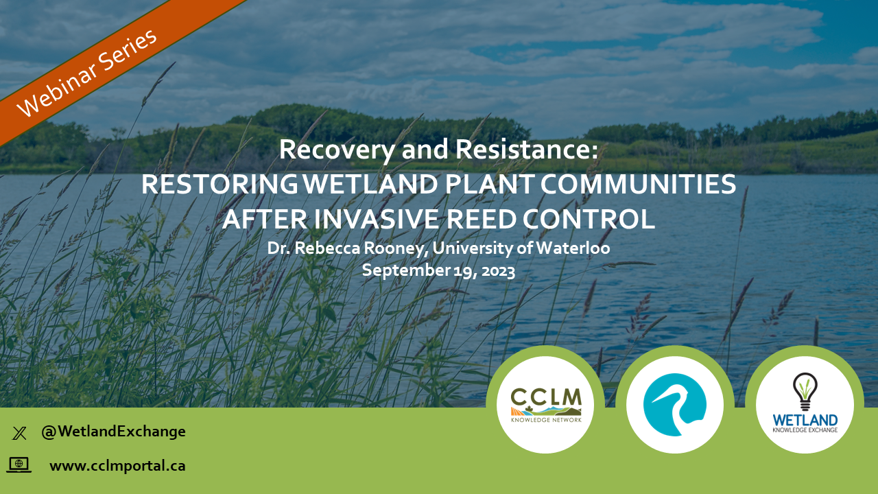
Resource
Resource Date:
September
2023
Recovery and Resistance: Restoring the wetland plant community after invasive reed control Presenter: Dr. Rebecca Rooney, University of Waterloo For established invasions, like European common reed...