Wetlands Knowledge Search Results
Resource
Resource Date:
January
2016
Restoring peatlands in the in situ oil sands region of northern Alberta presents a set of challenges that have yet to be properly addressed. The lack of proven, cost-effective methods for restoring...
Resource
Resource Date:
January
2016
This presentation highlights planning and operations applications of water management techniques for resource roads crossing wetlands.
Resource
Authors
Richard Krygier
Dave Larsen
Resource Date:
January
2016
The SEEDS project objective is to develop and test a seed delivery technology that improves emergence and early establishment of native plants for the reclamation of disturbed boreal forest sites.
Resource
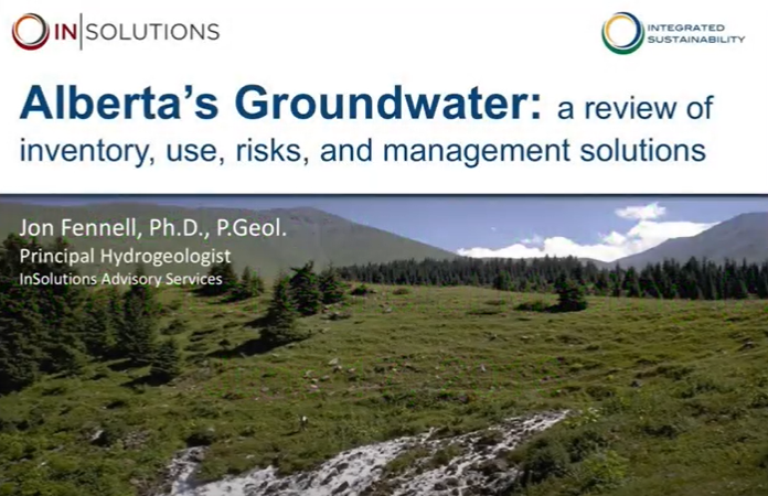
This 2016 talk provides an overview of some of the issues related to groundwater in Alberta.
Resource
Kate Wilson explains how Alberta is dealing with managing invasive species, and how the process is going.
Resource
Resource Date:
March
2016
This presentation outlines some of the factors involved in resource management specifically related to dealing with complex systems.
Resource
Resource Date:
March
2016
This presentation discusses the ways that Wet Areas Mapping works with NetMap.
Resource
Resource Date:
March
2016
This presentation provides an overview of LiDAR and Wet Areas Mapping, as well as some ideas of the next steps in working with the technology and data.
Resource
Resource Date:
January
2016
This presentation provides an overview of Manitoba Hydro's planning through to operations approach to wetland mitigation on their rights of ways.
Resource
The resource link will access Part 1 of this presentation. Part 2 can be accessed here. John Pomeroy, professor at the University of Saskatchewan, talks about water supply resilience and flood risk...
Resource
This presentation discusses the need for a multi-level classification for boreal wetlands and accurate change detection.
Resource
This presentation discusses the Alberta water extent monitoring pilot study, with the goal to create a database that has the potential for implementation at a provincial level.
Resource
This presentation talks about Bathymetric LiDARs for Hydrographic Mapping with a focus on ALTM systems and data fusion.
Resource
Dr. Chris Hopkinson introduces a series of seven videos that covers the topic of LiDAR and its application in water resources planning and monitoring.
Resource
This presentation discusses Synthetic-aperture radar (SAR) and Water resources.
Resource
This presentation discusses discusses SAR polarimetry for flooded vegetation and the the scattering properties of wetlands.
Resource
This presentation discusses SAR/InSAR water extent mapping, mapping vegetation as water, and how water mapping changes in the wetlands.
Resource
This presentation describes the process of delineating, extracting and mapping small bodies of water in a SAR image.
Resource
Resource Date:
March
2013
This presentation describes the Alberta Watershed Toolkit as a watershed planning community space to share success stories and tools.
Resource
Resource Date:
March
2013
This presentation discusses the state of wetland and peatland conservation in Alberta.