
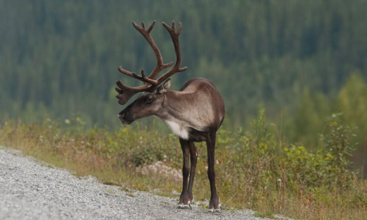
Using Landsat Imagery to Backcast Fire and Post-fire Residuals in the Boreal Shield of Saskatchewan: Implications for Woodland Caribou Management
Mapping of fire from 1988-2013 using the differenced Normalized Burn Ratio analysis of Landsat Thematic mapper and Operational Land Imager.
For some Boreal Shield ranges, including SK1, where fire comprises the majority of total disturbance and residual patches of unburned forest re abundant, total disturbance calculations, critical habitat designation and range planning decisions should take into account residuals, including water bodies.