
Search Results
Displaying:
1 - 9 of 9
The Third Generation of Pan-Canadian Wetland Map at 10 m Resolution Using Multisource Earth Observation Data on Cloud Computing Platform
Resource
Development of the Canadian Wetland Inventory Map (CWIM) has thus far proceeded over two generations, reporting the extent and location of bog, fen, swamp, marsh, and water wetlands across the country...

The Vegetation of Fens in Relation to Their Hydrology and Nutrient Dynamics: A Case Study
Resource
Species-rich quaking fens have become rare in Western Europe. In Great Britain, Germany and The Netherlands they have been drained and turned into agricultural land. In The Netherlands small fens have...

Video - Lessons Learned from Collaborative Land Use Planning in the Northwest Territories
Resource
This talk describes the lands within the Wek’èezhìi Management Area and their importance to the Tłįchǫ, the planning process to develop the resilient Tłįchǫ Wenek’e as well as the lessons learned.

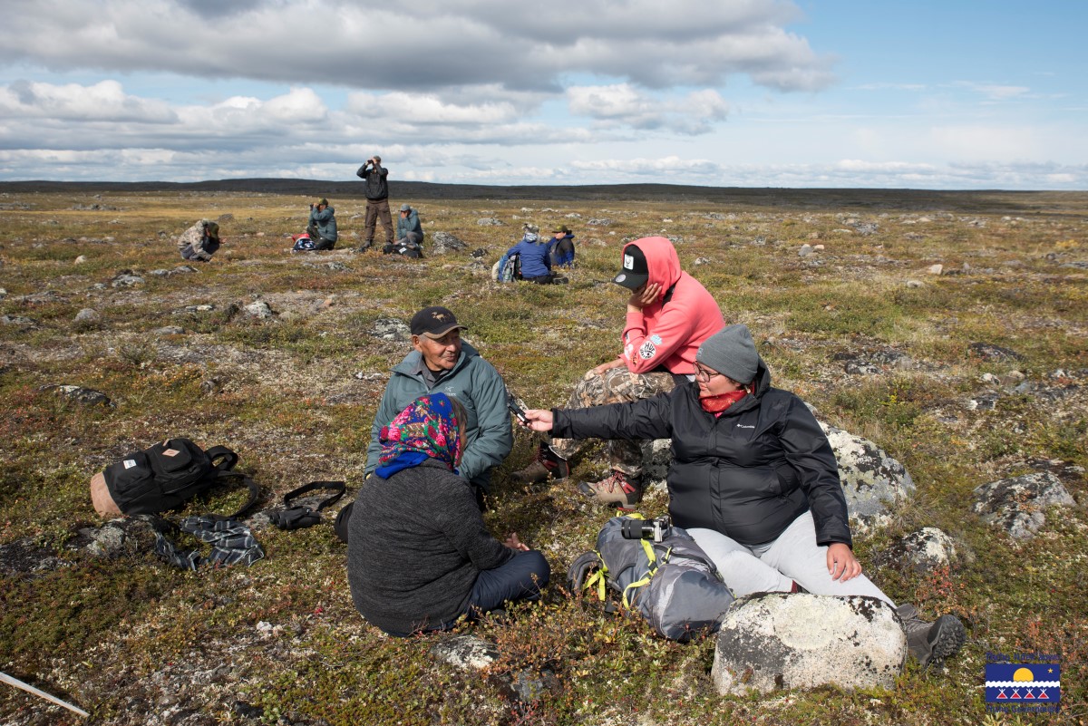
Webinar - Bridging the gap: Revitalizing Tłı̨chǫ Nàowoò (Way of Life) through Ekwǫ̀ (caribou) and Environmental Stewardship
Event
Event Date and Time
May 30th, 2024 at 1:00pm EST to May 30th, 2024 at 2:30pm EST
Contact
The Indigenous Knowledge Circle of the National Boreal Caribou Knowledge Consortium invites you to hear about Tłı̨chǫ's self-government and the stewardship they are doing. Ekwǫ̨̀̀ Nàxoèhdee K’è...
Wetland Functioning in Relation to Biodiversity Conservation and Restoration
Resource
Wetland ecosystems are a natural resource of global significance. Historically, their high level of plant and animal (especially bird) diversity is perhaps the major reason why wetland protection has...