
Search Results
Displaying:
1 - 8 of 8
A Regional-Scale Index for Assessing the Exposure of Drinking-Water Sources to Wildfires
Resource
Recent human-interface wildfires around the world have raised concerns regarding the reliability of freshwater supply flowing from severely burned watersheds. Degraded source water quality can often...

Canadian Wetland Inventory Activities in the Prairie and Boreal Regions of Canada
Event
Event Date and Time
August 30th, 2023 at 2:00pm EST to August 30th, 2023 at 3:00pm EST
Contact
Organization
The Wetland Mapping Consortium (WMC), founded in 2008, is an interdisciplinary group of wetland scientists and managers interested in mapping and monitoring wetlands with remotely sensed images and/or...

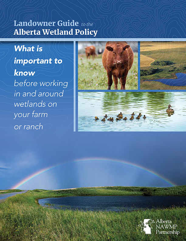
Landowner Guide to the Alberta Wetland Policy
Resource
The Landowner Guide to the Alberta Wetland Policy helps landowners understand their rights and responsibilities when working in and around wetlands on their farm or ranch under Alberta’s Wetland...

Local Hydroclimatic Influence on Black Spruce (Picea mariana (Mill.) B.S.P.) Anatomical Traits in Two Boreal Fen Peatlands
Resource
As global temperatures increase, ongoing research is essential in understanding the long-term effects of climate change on tree dominated wetlands. Acting as a significant landform in the boreal...
NEW GUIDE: Alberta NAWMP releases the Landowner Guide to the Alberta Wetland Policy
News
Organization
The Landowner Guide to the Alberta Wetland Policy helps landowners understand their rights and responsibilities when working in and around wetlands on their farm or ranch under Alberta’s Wetland...
The Third Generation of Pan-Canadian Wetland Map at 10 m Resolution Using Multisource Earth Observation Data on Cloud Computing Platform
Resource
Development of the Canadian Wetland Inventory Map (CWIM) has thus far proceeded over two generations, reporting the extent and location of bog, fen, swamp, marsh, and water wetlands across the country...
Video - Where Do You Look for Evidence of Fires From Thousands of Years Ago?
Resource
This presentation describes how coring lake sediments gives us information on fire history, providing data on fire frequency, severity and what actually burned.
