
Search Results
Displaying:
1 - 4 of 4

High-resolution Satellite Imagery Applied to Monitoring Revegetation of Oil-sands-exploration Well Pads
Resource
Project demonstrated that high-spatial-resolution satellite imagery could be used to develop accurate land-cover classifications on reclaimed in-situ operations

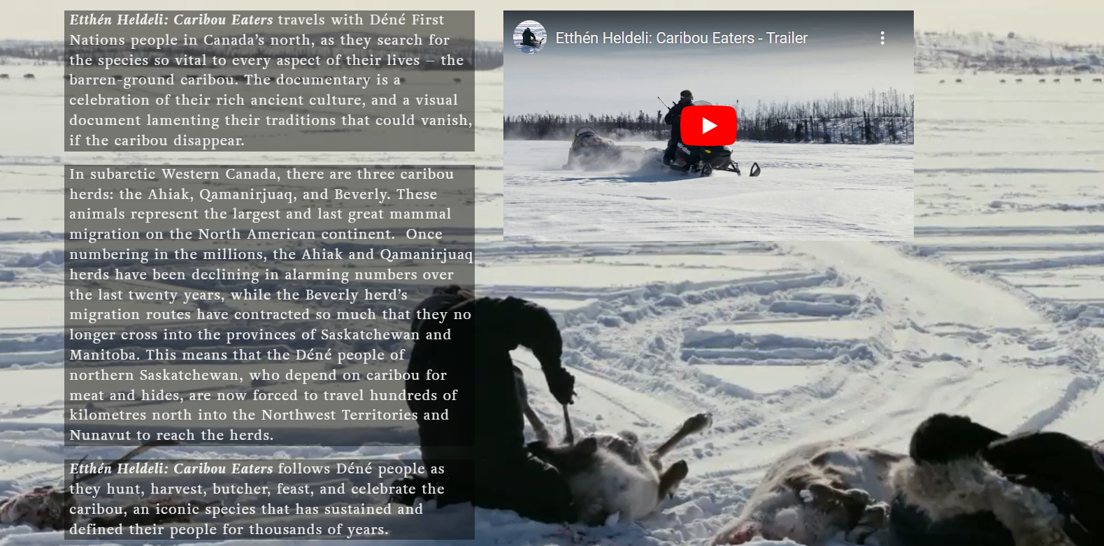
Video - Caribou Eaters
Resource
The Etthén Heldeli (Caribou Eaters) documentary produced in 2018 follows Dene caribou hunters who rely on the Ahiak, Qamanirjuaq, and Beverly herds. This website contains several resources associated...
Webinar: Wildlife Camera Survey Guidelines & Metadata Standards
Event
Event Date and Time
April 25th, 2023 at 12:00pm MST to April 25th, 2023 at 1:00pm MST
Organization
Remote Camera Survey Guidelines (RCSC and WildCAM, unpublished work) and Wildlife Camera Metadata Standards were developed for Alberta (Wildlife Camera Metadata: Standards for Alberta [RCSC, 2022])...
