
Search Results
Displaying:
1 - 8 of 8
Canadian Wetland Inventory Activities in the Prairie and Boreal Regions of Canada
Event
Event Date and Time
August 30th, 2023 at 2:00pm EST to August 30th, 2023 at 3:00pm EST
Contact
Organization
The Wetland Mapping Consortium (WMC), founded in 2008, is an interdisciplinary group of wetland scientists and managers interested in mapping and monitoring wetlands with remotely sensed images and/or...

Fire and Water Forum
Event
Grande Prairie , AB
Organization
Wildfire risk is real in the Peace. Sharing knowledge is the beginning of a conversation to find solutions and become proactive. This full day forum will bring together our understanding of fire and...

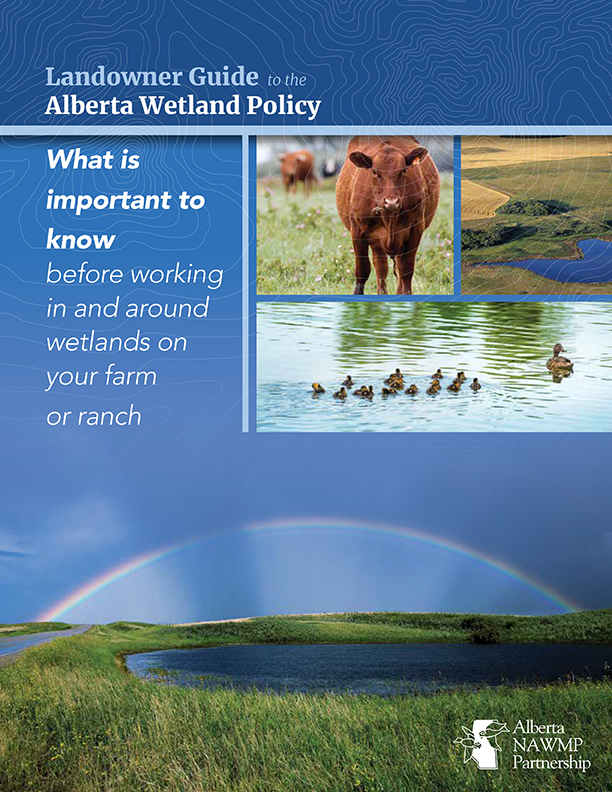
Landowner Guide to the Alberta Wetland Policy
Resource
The Landowner Guide to the Alberta Wetland Policy helps landowners understand their rights and responsibilities when working in and around wetlands on their farm or ranch under Alberta’s Wetland...

Mighty Peace Watershed Alliance Integrated Watershed Management Plan
Resource
The Mighty Peace Watershed Alliance (MPWA) supports the three goals of Alberta’s Water for Life Strategy: safe secure drinking water, healthy aquatic ecosystems, and reliable, quality water supplies...

NEW GUIDE: Alberta NAWMP releases the Landowner Guide to the Alberta Wetland Policy
News
Organization
The Landowner Guide to the Alberta Wetland Policy helps landowners understand their rights and responsibilities when working in and around wetlands on their farm or ranch under Alberta’s Wetland...
The Third Generation of Pan-Canadian Wetland Map at 10 m Resolution Using Multisource Earth Observation Data on Cloud Computing Platform
Resource
Development of the Canadian Wetland Inventory Map (CWIM) has thus far proceeded over two generations, reporting the extent and location of bog, fen, swamp, marsh, and water wetlands across the country...

Video - Land Use as a Tool for Watershed Management
Resource
This presentation discusses land-use as a tool to understand the drivers of water processes.
