
Search Results
Displaying:
1 - 8 of 8
Canadian Wetland Inventory Activities in the Prairie and Boreal Regions of Canada
Event
Event Date and Time
August 30th, 2023 at 2:00pm EST to August 30th, 2023 at 3:00pm EST
Contact
Organization
The Wetland Mapping Consortium (WMC), founded in 2008, is an interdisciplinary group of wetland scientists and managers interested in mapping and monitoring wetlands with remotely sensed images and/or...

Contrasting Dynamical Responses of Sympatric Caribou and Muskoxen to Winter Weather and Earlier Spring Green-up in the Arctic
Resource
Analyzed the population dynamics and offspring production of sympatric caribou and muskoxen in West Greenland over an 18-year period (2002–2019) during which the timing of spring green-up has advanced


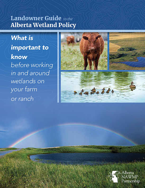
Landowner Guide to the Alberta Wetland Policy
Resource
The Landowner Guide to the Alberta Wetland Policy helps landowners understand their rights and responsibilities when working in and around wetlands on their farm or ranch under Alberta’s Wetland...

Large Herbivores Facilitate the Persistence of Rare Taxa Under Tundra Warming
Resource
Ecological rarity, characterized by low abundance or limited distribution, is typical of most species, yet our understanding of what factors contribute to the persistence of rare species remains...
NEW GUIDE: Alberta NAWMP releases the Landowner Guide to the Alberta Wetland Policy
News
Organization
The Landowner Guide to the Alberta Wetland Policy helps landowners understand their rights and responsibilities when working in and around wetlands on their farm or ranch under Alberta’s Wetland...
The Third Generation of Pan-Canadian Wetland Map at 10 m Resolution Using Multisource Earth Observation Data on Cloud Computing Platform
Resource
Development of the Canadian Wetland Inventory Map (CWIM) has thus far proceeded over two generations, reporting the extent and location of bog, fen, swamp, marsh, and water wetlands across the country...
