
Search Results
Displaying:
1 - 8 of 8
Canadian Wetland Inventory Activities in the Prairie and Boreal Regions of Canada
Event
Event Date and Time
August 30th, 2023 at 2:00pm EST to August 30th, 2023 at 3:00pm EST
Contact
Organization
The Wetland Mapping Consortium (WMC), founded in 2008, is an interdisciplinary group of wetland scientists and managers interested in mapping and monitoring wetlands with remotely sensed images and/or...

Caribou Recovery Pilot Project, Aboriginal Engagement Report
Resource
The primary objective of the Pilot is to establish and maintain a small breeding population of caribou in a fenced predator-free exclosure within their natural habitat in northeast Alberta. The intent...

International Boreal Forest Research Association Conference 2021
Event
Event Date and Time
August 16th, 2021 at 7:00am PST to August 20th, 2021 at 1:00pm PST
ONLINE,
Organization
Due to the continued uncertainties created by the pandemic, we have made the decision, like many other events in 2021, to move the IBFRA 2021 Conference to an entirely online format. The dates for the...

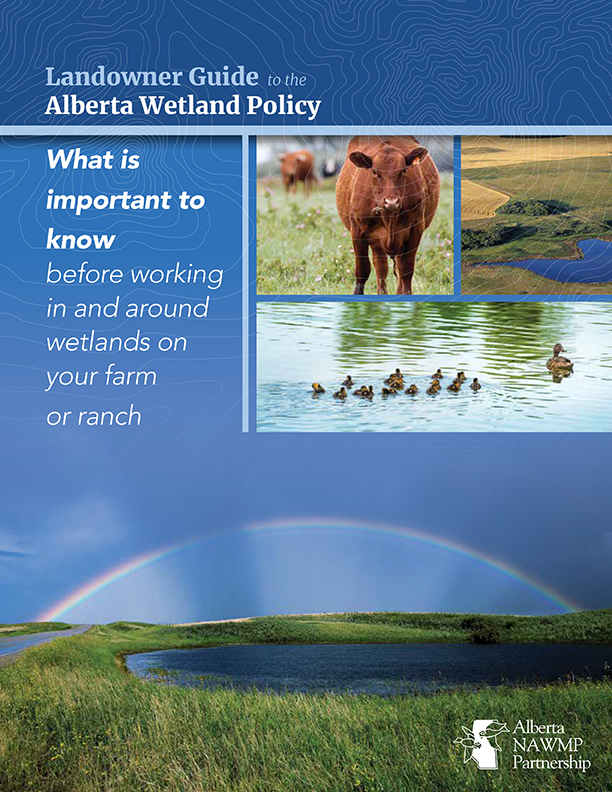
Landowner Guide to the Alberta Wetland Policy
Resource
The Landowner Guide to the Alberta Wetland Policy helps landowners understand their rights and responsibilities when working in and around wetlands on their farm or ranch under Alberta’s Wetland...

NEW GUIDE: Alberta NAWMP releases the Landowner Guide to the Alberta Wetland Policy
News
Organization
The Landowner Guide to the Alberta Wetland Policy helps landowners understand their rights and responsibilities when working in and around wetlands on their farm or ranch under Alberta’s Wetland...
The International Boreal Forest Research Association Conference: Climate Resilient and Sustainable Forest Management
Event
Event Date and Time
August 28th, 2023 at 12:00am to August 31st, 2023 at 11:59pm
Helsinki,
Organization
The boreal forest, which is the second most extensive terrestrial biome on earth, is experiencing environmental changes at rates that are unprecedented. Changing climates are increasing disturbances...

The Third Generation of Pan-Canadian Wetland Map at 10 m Resolution Using Multisource Earth Observation Data on Cloud Computing Platform
Resource
Development of the Canadian Wetland Inventory Map (CWIM) has thus far proceeded over two generations, reporting the extent and location of bog, fen, swamp, marsh, and water wetlands across the country...
