
Search Results
Displaying:
1 - 5 of 5
High-resolution Satellite Imagery Applied to Monitoring Revegetation of Oil-sands-exploration Well Pads
Resource
Project demonstrated that high-spatial-resolution satellite imagery could be used to develop accurate land-cover classifications on reclaimed in-situ operations

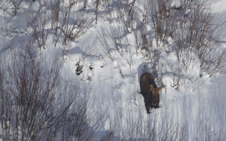
Moose Habitat and Populations in Alberta Boreal and Foothills Regions: Literature Review
Resource
Moose occur across the northern Boreal and Foothills of Alberta (Alces alces). Their core range is in mid- and west-central Alberta and supports the highest densities of moose in the province. The...
Peat Loss Collocates with a Threshold in Plant–Mycorrhizal Associations in Drained Peatlands Encroached by Trees
Resource
Drainage-induced encroachment by trees may have major effects on the carbon balance of northern peatlands, and responses of microbial communities are likely to play a central mechanistic role. We...

Spatial Factors Related to Mortality and Population Decline of Endangered Mountain Caribou
Resource
This resource is available on an external database and may require a paid subscription to access it. It is included on the CCLM to support our goal of capturing and sharing the breadth of all...
