
Search Results
Displaying:
1 - 5 of 5
High-resolution Satellite Imagery Applied to Monitoring Revegetation of Oil-sands-exploration Well Pads
Resource
Project demonstrated that high-spatial-resolution satellite imagery could be used to develop accurate land-cover classifications on reclaimed in-situ operations

Inside Canada’s Fight to Save its Peatlands
News
Contact
Organization
Peat extraction companies have learned a lot about how to restore these vital ecosystems. But slow growth, climate change, and complexity mean conservation is an important strategy as well. Over the...
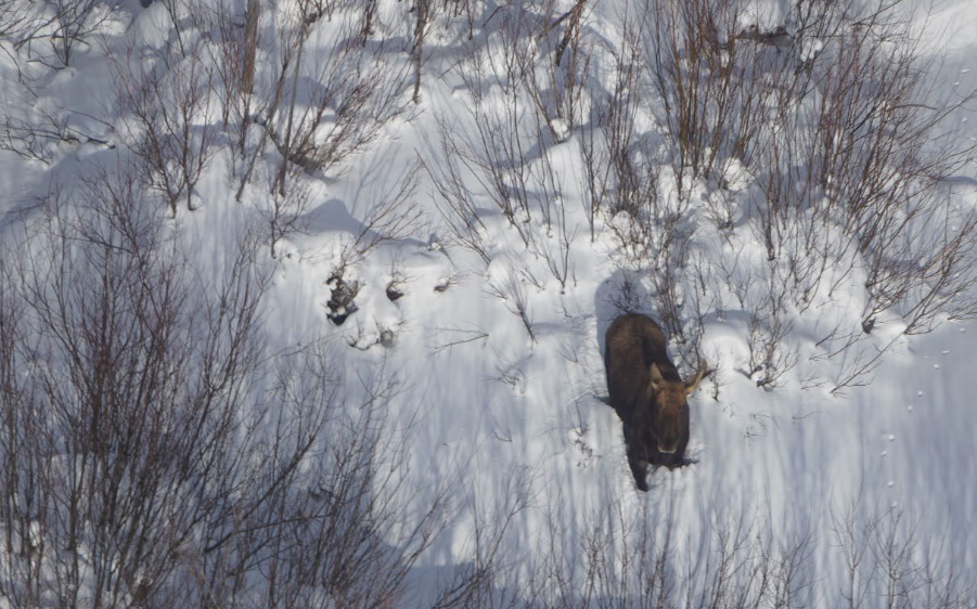
Moose Habitat and Populations in Alberta Boreal and Foothills Regions: Literature Review
Resource
Moose occur across the northern Boreal and Foothills of Alberta (Alces alces). Their core range is in mid- and west-central Alberta and supports the highest densities of moose in the province. The...
Peat Loss Collocates with a Threshold in Plant–Mycorrhizal Associations in Drained Peatlands Encroached by Trees
Resource
Drainage-induced encroachment by trees may have major effects on the carbon balance of northern peatlands, and responses of microbial communities are likely to play a central mechanistic role. We...
