
Search Results
Displaying:
1 - 8 of 8
Shrub Changes with Proximity to Anthropogenic Disturbance in Boreal Wetlands Determined Using Bi-temporal Airborne LiDAR in the Oil Sands Region, Alberta Canada
Resource
Bi-temporal LiDAR data used to identify correspondence between density of anthropogenic disturbances, wetland shape complexity and changes in vegetation height within >1800 wetlands near Fort McKay

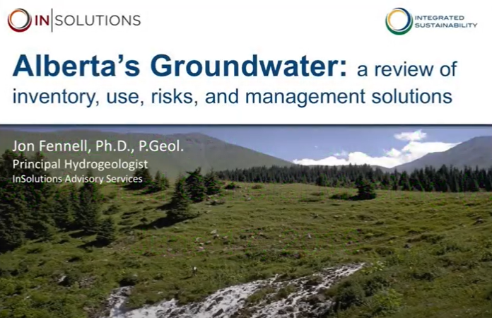
Video - Alberta's Groundwater: Inventory, Use, Risks, and Management Solutions
Resource
This 2016 talk provides an overview of some of the issues related to groundwater in Alberta.
Video - Aquatic Invasive Species: The Alberta Approach & Program Highlights
Resource
Kate Wilson explains how Alberta is dealing with managing invasive species, and how the process is going.

Video - Do you know your watershed? Learning about the Red Deer River
Resource
This presentation discusses what watershed education looks like in the Red Deer River watershed.

Video - Too Much and Too Little Water, Adaptation Strategies for Municipalities
Resource
This presentation discusses explains how climate change and land use changes impact water supply and how we can adapt.

Video - Watershed Management Planning in the Red Deer River Basin
Resource
This presentation outlines the Red Deer River Watershed Alliance's process for watershed planning.

Wetlands and Methane [Technical Report]
Resource
To reduce global greenhouse gas emissions, conservation and restoration of wetlands play a key role. This report outlines the contribution of wetlands to global methane output; differences between...
