
Search Results
Displaying:
1 - 7 of 7
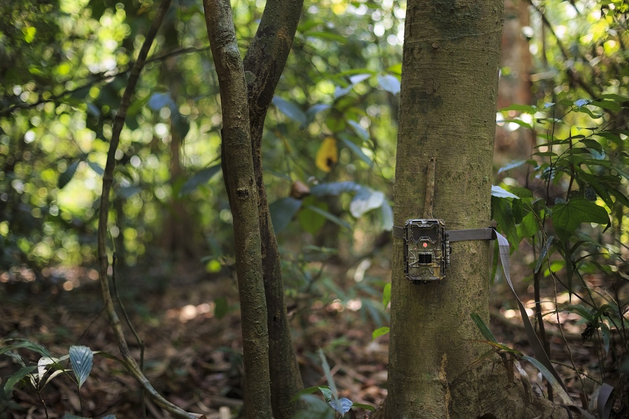
Camera Traps: Getting Started with MegaDetector
Resource
Conservation biologists invest a huge amount of time reviewing camera trap images, and – even worse – a huge fraction of that time is spent reviewing images they aren't interested in. This primarily...
Natural Recovery on Low Impact Seismic Lines in Northeast British Columbia
Project
Contact
Project Description WSP Golder (formerly Golder Associates Ltd) and Explor were supported by the Research and Effectiveness Monitoring Board (REMB) of the BCIP initiative, with funding provided by the...

Natural Recovery on Low Impact Seismic Lines in Northeast British Columbia
Resource
WSP Golder (formerly Golder Associates Ltd) and Explor were supported by the Research and Effectiveness Monitoring Board (REMB) of the BCIP initiative, with funding provided by the BC Oil and Gas...

Pinpoint Allows Seismic to go Lineless
Resource
If you live in western Canada chances are you’ve seen a seismic line. Narrow corridors cut through the bush, seismic lines facilitate access for people and equipment to conduct geophysical surveys to...

The Third Generation of Pan-Canadian Wetland Map at 10 m Resolution Using Multisource Earth Observation Data on Cloud Computing Platform
Resource
Development of the Canadian Wetland Inventory Map (CWIM) has thus far proceeded over two generations, reporting the extent and location of bog, fen, swamp, marsh, and water wetlands across the country...