
Search Results
Displaying:
1 - 7 of 7
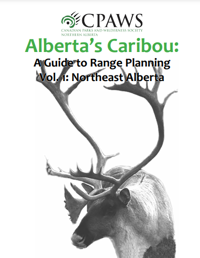
Alberta’s Caribou: A Guide to Range Planning Vol. 1: Northeast Alberta
Resource
This document is a ground-level look at boreal woodland caribou in northeastern Alberta: their status, their habitat, the pressures they face, and what is needed for their recovery in this province...
Can Plant or Lichen Natural Abundance 15N Ratios Indicate the Influence of Oil Sands N Emissions on Bogs?
Resource
The 140,329 km 2 Athabasca Oil Sands Administrative Area (OSAA), which contains 8982 km 2 of bogs. Since the late 1970s, N emissions from oil sands development in the OSAA have steadily increased...

Protected Areas as a Nature-Based Climate Solution
Resource
Canada can leverage nature as an important tool towards reducing its greenhouse gas (GHG) emissions by increasing the protection of key ecosystems, such as: northern peatland complexes in the Hudson...

The Third Generation of Pan-Canadian Wetland Map at 10 m Resolution Using Multisource Earth Observation Data on Cloud Computing Platform
Resource
Development of the Canadian Wetland Inventory Map (CWIM) has thus far proceeded over two generations, reporting the extent and location of bog, fen, swamp, marsh, and water wetlands across the country...
