
Search Results
Displaying:
1 - 10 of 10
A Regional-Scale Index for Assessing the Exposure of Drinking-Water Sources to Wildfires
Resource
Recent human-interface wildfires around the world have raised concerns regarding the reliability of freshwater supply flowing from severely burned watersheds. Degraded source water quality can often...

Acho Dene Koe First Nation Boreal Caribou Traditional Knowledge and Cumulative Impacts Qualitative Assessment
Resource
Boreal caribou ( Rangifer tarandus caribou) are traditionally a highly significant species to ADKFN and the species is currently listed as ‘threatened’ under Canada’s Species at Risk Act (SARA). As a...

Biogeochemical Response to Vegetation and Hydrologic Change in an Alaskan Boreal Fen Ecosystem
Resource
Boreal peatlands store approximately one third of the earth’s terrestrial carbon, locked away in currently waterlogged and frozen conditions. Peatlands of boreal and arctic ecosystems are affected...
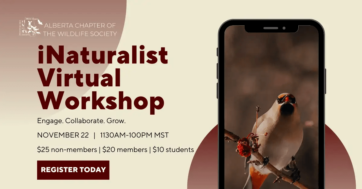
Citizen Science – iNaturalist Workshop
Event
Event Date and Time
November 22nd, 2022 at 11:30am MST to November 22nd, 2022 at 1:00pm MST
Organization
Citizen science is often a great opportunity to engage communities in wildlife research and to broaden your data set. There are many different ways to engage communities in wildlife research. This...
Local Hydroclimatic Influence on Black Spruce (Picea mariana (Mill.) B.S.P.) Anatomical Traits in Two Boreal Fen Peatlands
Resource
As global temperatures increase, ongoing research is essential in understanding the long-term effects of climate change on tree dominated wetlands. Acting as a significant landform in the boreal...
Peat Loss Collocates with a Threshold in Plant–Mycorrhizal Associations in Drained Peatlands Encroached by Trees
Resource
Drainage-induced encroachment by trees may have major effects on the carbon balance of northern peatlands, and responses of microbial communities are likely to play a central mechanistic role. We...

The Third Generation of Pan-Canadian Wetland Map at 10 m Resolution Using Multisource Earth Observation Data on Cloud Computing Platform
Resource
Development of the Canadian Wetland Inventory Map (CWIM) has thus far proceeded over two generations, reporting the extent and location of bog, fen, swamp, marsh, and water wetlands across the country...
Video - Where Do You Look for Evidence of Fires From Thousands of Years Ago?
Resource
This presentation describes how coring lake sediments gives us information on fire history, providing data on fire frequency, severity and what actually burned.
