
Search Results
Displaying:
1 - 10 of 10
A Practical Approach to Assessing Existing Evidence for Specific Conservation Strategies
Resource
There is currently a great deal of work being undertaken to collect, analyze, and synthesize available evidence about the effectiveness of conservation strategies. But substantial challenges still...

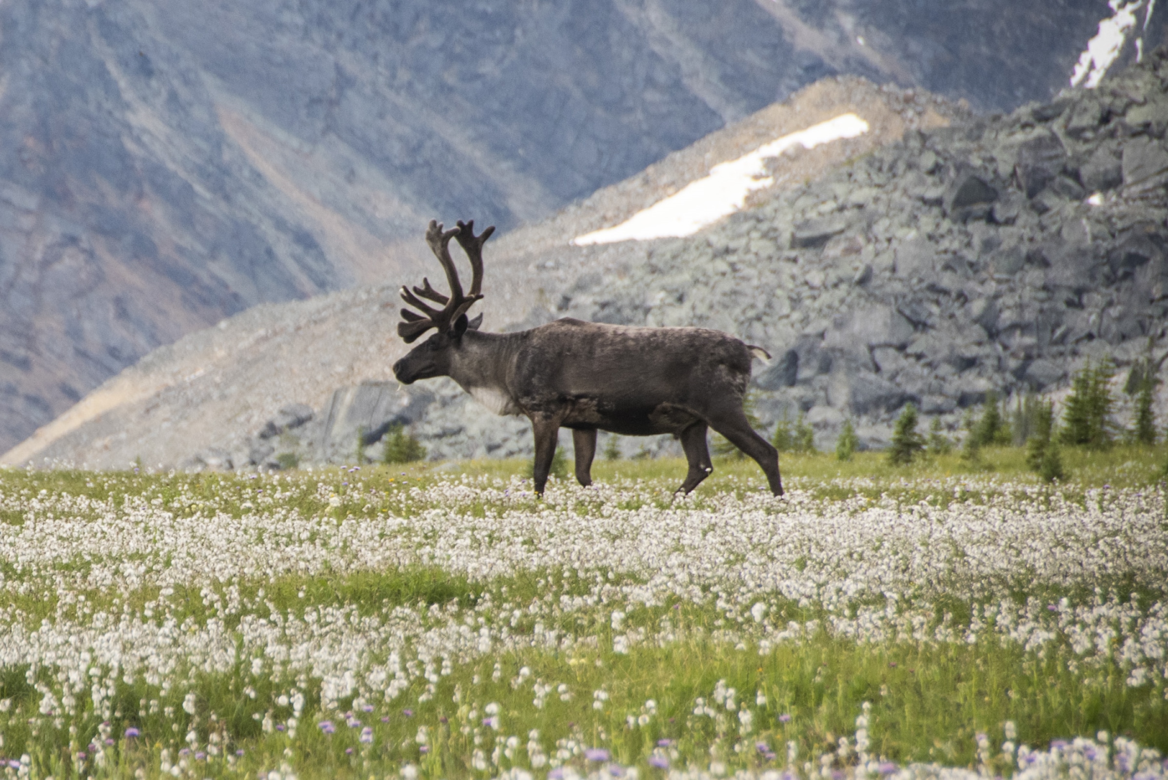
Assessing the Evidence for Adoption of a Conservation Breeding Strategy to Enable Recovery of Southern Mountain Caribou Population in Jasper NP
Resource
This report describes an assessment of the evidence for a conservation breeding program being proposed by Parks Canada to recover threatened woodland caribou populations in Jasper National Park. This...
Biogeochemical Response to Vegetation and Hydrologic Change in an Alaskan Boreal Fen Ecosystem
Resource
Boreal peatlands store approximately one third of the earth’s terrestrial carbon, locked away in currently waterlogged and frozen conditions. Peatlands of boreal and arctic ecosystems are affected...

Moose Response to Disturbance in West-central Alberta
Project
Contact
Organization:
This Caribou Program project examines how moose respond to different re-vegetation trajectories after disturbance. This will give re-vegetation prescriptions that favour moose less, and therefore are...
Peat Loss Collocates with a Threshold in Plant–Mycorrhizal Associations in Drained Peatlands Encroached by Trees
Resource
Drainage-induced encroachment by trees may have major effects on the carbon balance of northern peatlands, and responses of microbial communities are likely to play a central mechanistic role. We...

Restoration of Seismic Cutlines in Caribou Range in West-central and North-western Alberta: Maximizing Success and Targeting Areas Used by Alternative Prey
Project
Contact
Organization:
This single year Habitat Stewardship Program Species at Risk Stream project will improve threatened boreal caribou and endangered southern mountain caribou habitat by increasing undisturbed habitat...
The Third Generation of Pan-Canadian Wetland Map at 10 m Resolution Using Multisource Earth Observation Data on Cloud Computing Platform
Resource
Development of the Canadian Wetland Inventory Map (CWIM) has thus far proceeded over two generations, reporting the extent and location of bog, fen, swamp, marsh, and water wetlands across the country...