
Search Results
Displaying:
81 - 100 of 404
Enhanced Wetland Classification Inferred Products User Guide
Resource
Ducks Unlimited Canada has been leading the effort to provide detailed and accurate wetland maps for large areas of the western boreal forest. These mapping products have become the cornerstone of DUC...

Environmenta1 Planning for Rights-of-way
Resource
A recent study (using a 10% stratified random sample) estimated the amount of area physically disturbed by energy related activity, to be 66,576 acres (26,963 ha) for a selective study area...
Environmental Fate and Transport of Organic Contaminants in Soils at Waste Disposal Sites
Resource
Current approaches for describing the environmental dynamics of organic constituents in complex waste mixtures are reviewed. Factors controlling equilibrium and nonequilibrium sorption of organic...

Erosion Monitoring on Mountain Foothills Waste Dumps
Resource
The erosion study was designed to examine the effects of the regraded configuration (i.e. slope angle, slope length), waste material characteristics, age since reclamation, amount of precipitation...

Establishment of Native Boreal Plant Species on Reclaimed Oil Sands Mining Disturbances
Resource
Current revegetation strategies for disturbed oil sands sites include values such as biodiversity and sustainability. As a result, a wide range of species are sought for inclusion in revegetation...
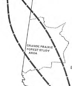
Establishment of Trees and Shrubs on Mined Land in the Grande Cache Area
Resource
The Terrain Sciences Department of the Alberta Research Council has been conducting a reclamation research program at the operations of Smoky River Coal Limited in the Grande Cache area since 1972...

Factors Affecting Abundance of Beaver Dams in Forested Landscapes
Resource
This resource is available on an external database and may require a paid subscription to access it. It is included on the CCLM to support our goal of capturing and sharing the breadth of all...

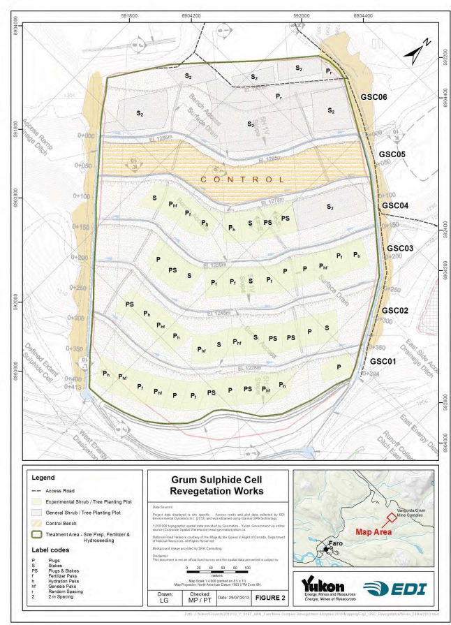
Faro Mine Complex Revegetation Activities
Resource
In preparation for remediation and closure of the Faro Mine Complex (FMC), significant work has been completed to develop and test revegetation methods at the mine site. Development and implementation...
February 2021 Wetlands Knowledge Exchange Webinar
Event
Event Date and Time
February 23rd, 2021 at 12:00pm MST to February 23rd, 2021 at 1:00pm MST
, AB
Contact
Conservation begins at home: Understanding personal, commercial, and conservation values of landowner stewardship on the family farm Presented by Robb Stavne, Sora Ecological Consulting Growing up as...
February 2024 Wetland Knowledge Exchange Webinar
Event
Contact
Organization
Methylmercury production and export in permafrost peatland catchments of the Taiga Plains Lauren Thompson, University of Alberta Ongoing permafrost thaw in northern peatland catchments may increase...

February 2024 Wetland Knowledge Exchange Webinar
Resource
Methylmercury production and export in permafrost peatland catchments of the Taiga Plains Lauren Thompson, University of Alberta Ongoing permafrost thaw in northern peatland catchments may increase...
Field Assessment of Sulphide Oxidation Rates in Cold Environment: Case Study of Raglan Mine
Resource
In this field study conducted on Raglan Mine's tailings storage facility (TSF), tailings oxidation rates were characterized with the oxygen consumption (OC) method. Surface tailings unfrozen...

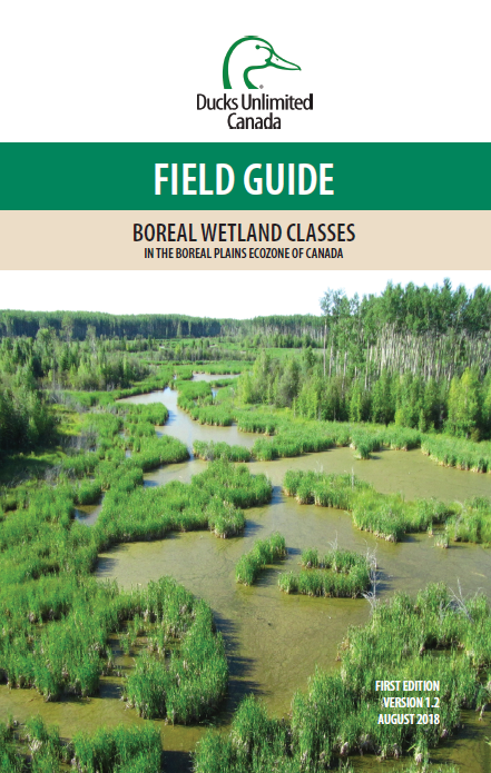
Field Guide of Boreal Wetland Classes in the Boreal Plains Ecozone of Canada
Resource
This plain language operational field guide helps resource managers identify wetlands in the field. It includes five major wetlands classes and 19 minor classes. Project partners include Ducks...
Footprints: The Evolution of Land Conservation and Reclamation in Alberta
Resource
This book is written to help assess how effectively we have, or are, conserving our land base and providing the stewardship required to pass our legacy on to our progeny.

Forest Inventory Maps: A Useful Tool for a Wetland Classification and Regionalisation in Quebec's Forests
Resource
Forest inventory maps can be used to quantify the area of wetland habitats and to define homogeneous regions in this regard, and therefore provide a functional tool for coarse-scale wetland management

Forest Management and Wetland Stewardship Initiative
Project
Contact
Organization:
The FMWSI is a partnership between Ducks Unlimited Canada (DUC), Alberta-Pacific Forest Industries Inc., Canfor, the Forest Products Association of Canada (FPAC), Millar Western Forest Products Ltd...
Galena Hill, Yukon, Ecosystem Mapping Project
Resource
The Galena Hill Ecosystem Map (GHEM) was initially developed to provide information about existing plant communities and their growth conditions to guide upcoming reclamation efforts at the historical...

Geomechanical Investigation of Post Reclamation Subsidence of Prairie Strip Mine Spoil
Resource
The post-reclamation subsidence of cast-back overburden is of interest to mining companies and regulatory agencies. Although subsidence may be of lesser concern than the prevention of soil degradation...
