
Search Results
Displaying:
121 - 140 of 307
Video - 2016 Wetland Best Management Practices Workshop: Opening Remarks
Resource
With over 75 years of experience and activity in every province and territory, Ducks Unlimited Canada (DUC) is a registered charity and a recognized leader in wetland conservation. DUC is a science...

Video - A multi-level classification for Boreal wetlands
Resource
This presentation discusses the need for a multi-level classification for boreal wetlands and accurate change detection.

Video - Alberta Water Extent Monitoring Pilot Study
Resource
This presentation discusses the Alberta water extent monitoring pilot study, with the goal to create a database that has the potential for implementation at a provincial level.

Video - Applications of Wetland Inventories
Resource
The various applications of Ducks Unlimited Canada’s wetland inventories play a critical role in wetland conservation. They serve as key planning tools, helping people who live and work in the boreal...

Video - Bathymetric LiDARs for Hydrographic Mapping
Resource
This presentation talks about Bathymetric LiDARs for Hydrographic Mapping with a focus on ALTM systems and data fusion.

Video - Boreal Wetlands Remote Sensing
Resource
In order to protect boreal wetlands, we must first know where they are. This 6-minute video will show you how Ducks Unlimited Canada uses satellite data and remote sensing techniques to map wetlands...

Video - Enhanced Fuel Mapping for Wildfire Management
Resource
This presentation discusses ways that LiDAR data can be used in forestry management, including for mapping mountain pine beetle infestations.

Video - Functional Environmental Flows: A Practical Strategy for Healthy Rivers
Resource
This presentation describes how focusing on functional flows versus typical water conservation management could improve aquatic in-stream ecosystems while meeting current water allocations.

Video - Incorporation of Wetlands into Forest Management
Resource
The Duck Mountain Provincial Forest in west-central Manitoba is a landbase with a mosaic of uplands and wetlands. The wetlands are both interspersed and interconnected with uplands. Ecosystem Based...

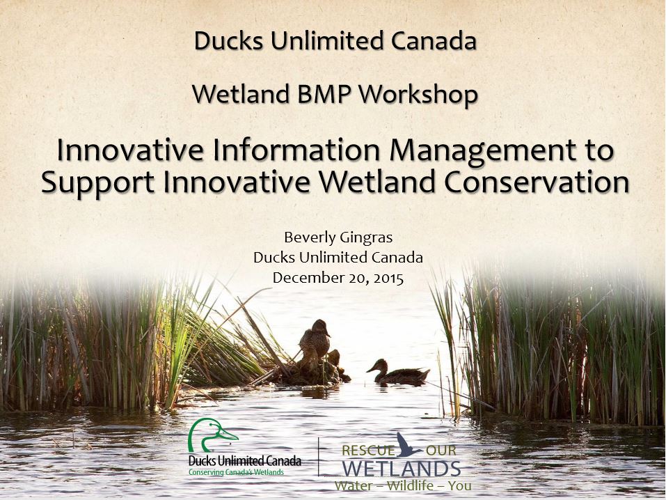
Video - Innovative Information Management to Support Wetland Conservation
Resource
This presentation provides an overview of the Ducks Unlimited Canada Best Management Practices (BMP) program and the road to and purpose of the 2016 Wetland BMP Workshop.
Video - LiDAR & Water Resources Applications
Resource
Dr. Chris Hopkinson introduces a series of seven videos that covers the topic of LiDAR and its application in water resources planning and monitoring.

Video - LiDAR and LAS Tools
Resource
This presentation provides insight and understanding to how LiDAR data is used to produce digital elevation models and vegetation maps.

Video - Overview of Airborne Laser Scanning
Resource
Chris Hopkinson gives an overview of how airborne laser scanning works, what type of data is collected, and how it can be used.

Video - Reclamation Monitoring: Eye in the Sky
Resource
Becky Doherty summarizes the role of remote sensing can play in monitoring the progress of reclamation on mining and well sites. She outlines the techniques that can be combined to monitor changes on reclaimed sites.

Video - SAR and Water Resources
Resource
This presentation discusses Synthetic-aperture radar (SAR) and Water resources.

Video - SAR Polarimetry for Flooded Vegetation
Resource
This presentation discusses discusses SAR polarimetry for flooded vegetation and the the scattering properties of wetlands.

Video - SAR/InSAR Water Extent Mapping
Resource
This presentation discusses SAR/InSAR water extent mapping, mapping vegetation as water, and how water mapping changes in the wetlands.

Video - Soil Moisture Estimation Using Polarmetric Radarsat-2 Data
Resource
This presentation discusses soil moisture estimation using polarimetric Radarsat-2 data and remote sensing as a fast, cost-effective method for mapping wide areas.

Video - Soil Science in Alberta: History & Direction
Resource
Dr. Ross McKenzie makes the case that the relationship between soil science researchers and agricultural producers (something we used to call extension or technology transfer) was a vibrant pipeline for innovation in Alberta.
