
Search Results
Displaying:
1 - 20 of 22
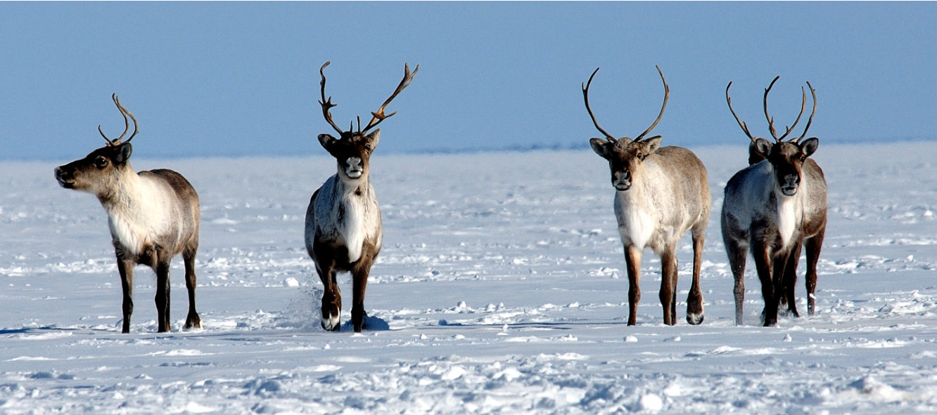
Action Plan for the Bluenose-East Caribou Herd
Resource
A 56-page action plan for the Bluenose-east herd prepared by the wildlife management boards with stewardship responsibilities for barren-ground caribou and their habitat in the Northwest Territories...

Decision-support Tools to Assess Cumulative Effects on the Cape Bathurst, Tuktoyaktuk Peninsula, Bluenose-West, and Bluenose-East Herds of Barren-ground Caribou – Project Summary Report
Resource
This report summarizes a project whose purpose was to collaboratively develop decision-support tools that will help northern decision-makers review, explore, and learn about the cumulative effects of...

Does Dust from Arctic Mines Affect Caribou Forage?
Resource
A 2017 paper assessing the impacts of dust from a mining haul road in the NWT on vegetation used by caribou. The paper concluded that dust from the road negatively affected the vegetation within a...

Implications of the First Collaborative Non-Invasive DNA Surveys for Boreal Caribou in British Columbia
Resource
This poster was presented at the National Boreal Caribou Workshop in Anchorage, Alaska, in May 2023 British Columbia’s boreal caribou ranges fall within the traditional lands of the Treaty 8 First...

Joint Management Proposals for: Sahtì (Bluenose-East) Ekwǫ̀ Herd, and Kǫk’èetı (Bathurst) Ekwǫ̀ Herd
News
Following a calving ground survey last June and a composition survey last October, the population for Sahtì Ekwǫ̀ is estimated to be 23,200 animals – about 4,000 more than in 2018. However, this total...
Kotcho Lake Restoration Area
Project
Contact
Organization:
In 2019 the Habitat Conservation Trust Foundation (HCTF) funded Fort Nelson First Nation (FNFN) to implement the Caribou Habitat Restoration Fund (CHRF) Kotcho Lake Restoration Area project to benefit...

Low-impact Line Construction Retains and Speeds Recovery of Trees on Seismic Lines in Forested Peatlands
Resource
Abstract Seismic lines are linear features created by the oil and gas industry for energy exploration. Though individually narrow, collectively seismic lines are a pervasive management challenge...
Low-impact Line Construction Retains and Speeds Recovery of Trees on Seismic Lines in Forested Peatlands
Resource
Seismic lines, linear features originating from the oil and gas industry for energy exploration, pose a substantial management challenge due to their collective impact on biogeochemical cycles, plant...

Medzih Action Plan - Fort Nelson First Nation Boreal Caribou Recovery Plan
Resource
We, Fort Nelson First nation (FNFN), are People of the land and the rivers and have lived in our territory in northeastern British Columbia since time immemorial. We are also Treaty people. Treaty No...

Northern Caribou Canada
Project
Contact
Organization:
About the Northern Caribou Canada: Who This is a project of the Wekʼèezhìi Renewable Resources Board in collaboration with the organizations, governments, and agencies listed on the bottom of the page...

Reasons for Decision Final Report, Part B - Bluenose-East Caribou Herd
Resource
Serious conservation concern exists for the Bluenose-East caribou herd and additional management actions are vital for herd recovery. The first report, Part A, dealt with the proposed harvest...
Reasons for Decisions Related to a Joint Proposal for Dìga (Wolf) Management in Wek’èezhìı
Resource
A 109-page document on the reasons for decision of the Wek’èezhìı Renewable Resources Board regarding wolf management in the region.
Restoring Boreal Caribou Habitat, One Tree at a Time
News
Organization
Seismic lines have carved up forests in northern B.C. To protect the caribou, the Fort Nelson First Nation is trying to erase as many as possible. Full text of this article can be accessed here...
Spatial Data to Get You Started: Preliminary Data Resources for the Development of a Restoration Program
Resource
This is a set of curated data sources to help people get started on their habitat restoration programs in boreal Canada. It includes sources of habitat data, disturbance data, leases, licenses etc...
The Third Generation of Pan-Canadian Wetland Map at 10 m Resolution Using Multisource Earth Observation Data on Cloud Computing Platform
Resource
Development of the Canadian Wetland Inventory Map (CWIM) has thus far proceeded over two generations, reporting the extent and location of bog, fen, swamp, marsh, and water wetlands across the country...
Tǫdzı (Boreal Caribou) and the State of Their Habitat
Project
Organization:
Project Description: This report considers Tłı̨chǫ knowledge of the relationships that tǫdzı (boreal caribou) have with their habitat, including human and other-than human beings. The current...
")
Tǫdzı (Boreal Caribou) and the State of Their Habitat
Resource
This report considers Tłı̨chǫ knowledge of the relationships that tǫdzı (boreal caribou) have with their habitat, including human and other-than human beings.
")